Lewiston in Nez Perce County, Idaho — The American West (Mountains)
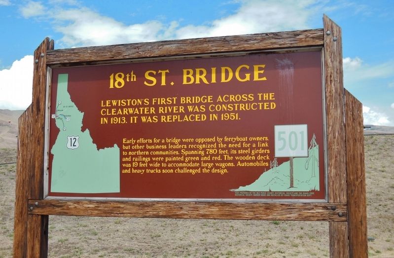
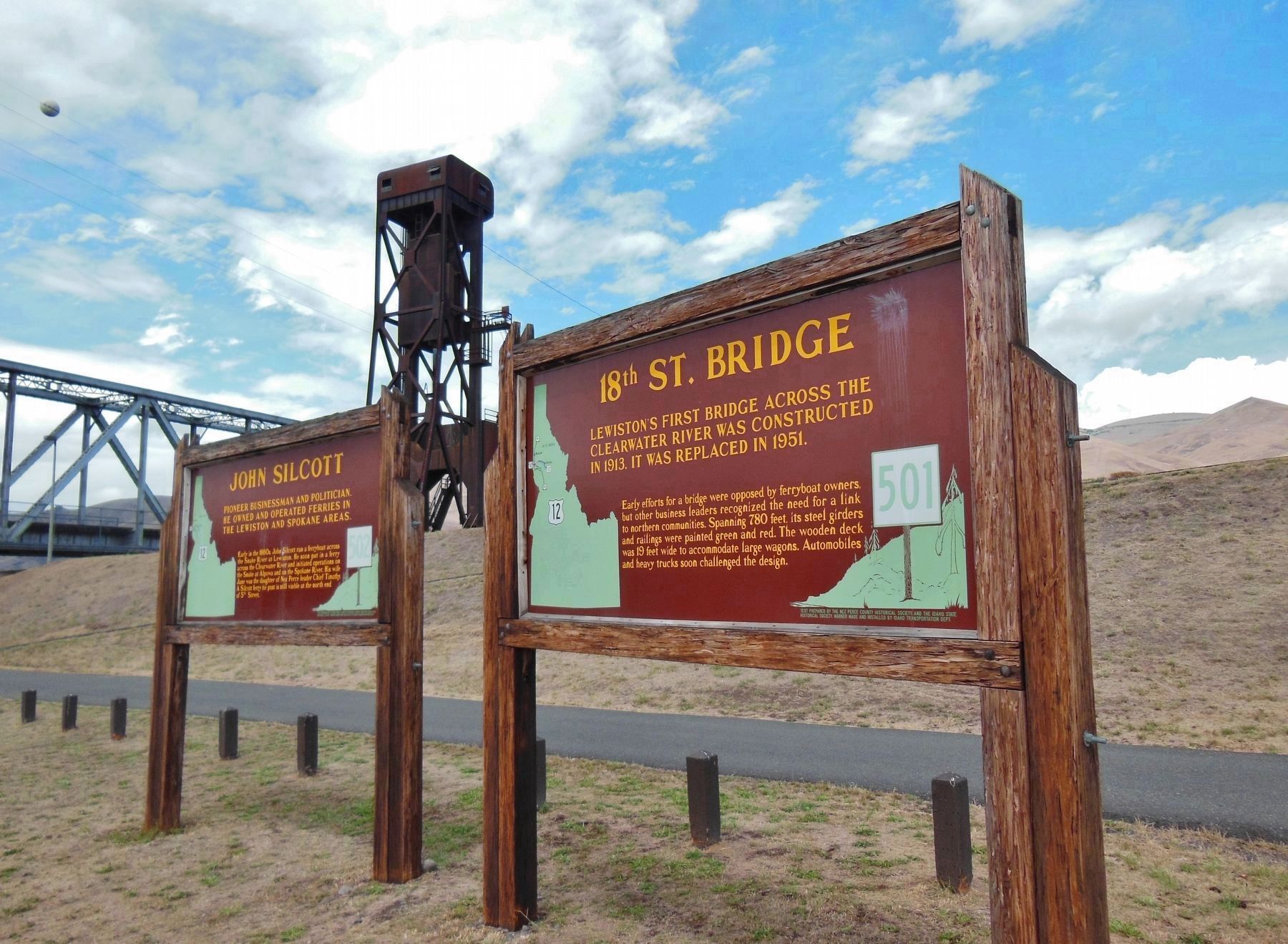
18th St. Bridge
was constructed in 1913 and replaced in 1951.
Early efforts for a bridge were opposed by ferryboat owners, but other business leaders recognized the need for a link to northern communities. Spanning 780 feet, its steel girders and railings were painted green and red. The wooden deck was 19 feet wide to accommodate large wagons. Automobiles and heavy trucks soon challenged the design.
Erected by Nez Perce County Historical Society, Idaho State Historical Society, Idaho Transportation Department. (Marker Number 501.)
Topics and series. This historical marker is listed in these topic lists: Bridges & Viaducts • Waterways & Vessels. In addition, it is included in the Idaho State Historical Society series list. A significant historical year for this entry is 1913.
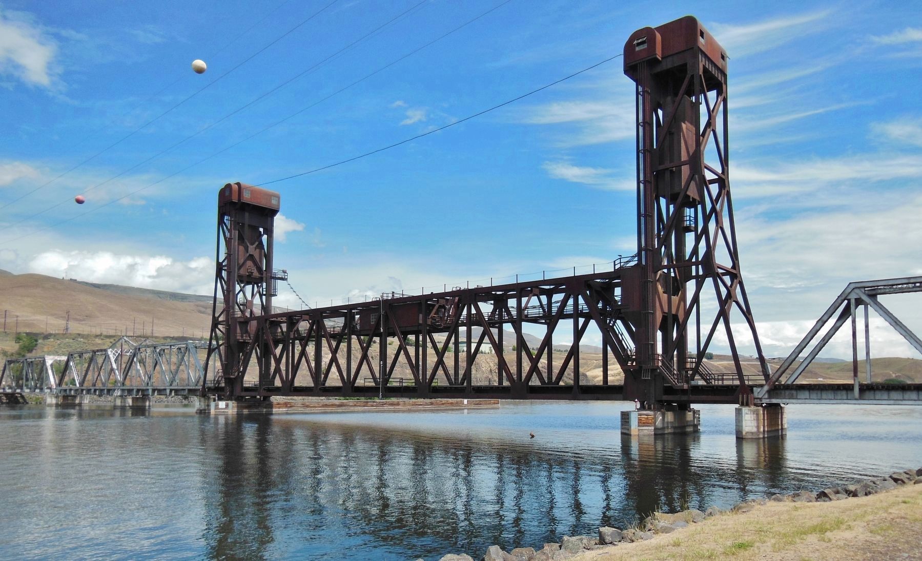
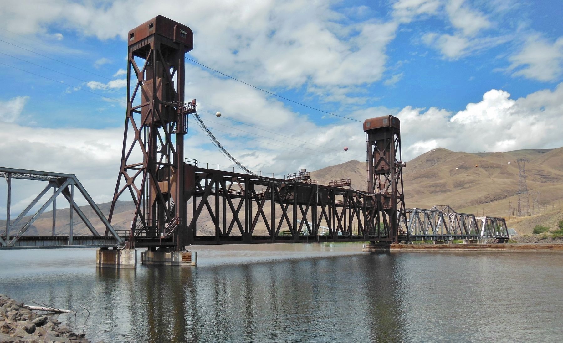
Location. 46° 25.476′ N, 117° 1.509′ W. Marker is in Lewiston, Idaho, in Nez Perce County. Marker is at the intersection of Highway 12 and 5th Street, on the right when traveling west on Highway 12. Marker is located adjacent to parking lot on the north side of US Highway 12, near the subject 18th Street Bridge. Touch for map. Marker is in this post office area: Lewiston ID 83501, United States of America. Touch for directions.
Other nearby markers. At least 8 other markers are within walking distance of this marker. John Silcott (here, next to this marker); Site of Luna House (approx. 0.2 miles away); Lewis and Clark (approx. ¼ mile away); Means Building (approx. ¼ mile away); Old City Hall (approx. ¼ mile away); Pacific Northwest Bell Building (Historic Name) (approx. ¼ mile away); Tsceminicum (approx. 0.3 miles away); Kettenbach Building (approx. 0.3 miles away). Touch for a list and map of all markers in Lewiston.
More about this marker. Large wooden marker in good condition
Credits. This page was last revised on July 23, 2019. It was originally submitted on November 7, 2017, by Cosmos Mariner of Cape Canaveral, Florida. This page has been viewed 482 times since then and 23 times this year. Photos: 1, 2, 3, 4. submitted on November 7, 2017, by Cosmos Mariner of Cape Canaveral, Florida. • Andrew Ruppenstein was the editor who published this page.


