Near Hawkinsville in Pulaski County, Georgia — The American South (South Atlantic)
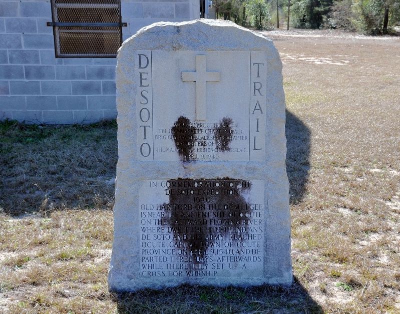
De Soto Trail
Inscription.
De Soto Expedition
1540
Old Hartford on the Ocmulgee is near the ancient site of Ocute on the eastward flowing river where dwelt the Hitchiti Indians. De Soto and his army reached Ocute, capital town of Ocute Province, on April 9, 1540, and departed three days afterwards. While there they set up a cross for worship.
Erected 1940 by The Hawkinsville Chapter D.A.R., Brig. Gen. David Blackshear Chapter, Daughters of 1812, and The Maj. William Horton Chapter, D.A.C.
Topics and series. This historical marker is listed in these topic lists: Exploration • Native Americans. In addition, it is included in the Daughters of the American Revolution series list. A significant historical date for this entry is April 9, 1540.
Location. 32° 16.907′ N, 83° 26.708′ W. Marker is near Hawkinsville, Georgia, in Pulaski County. Marker is at the intersection of Golden Isles Parkway (U.S. 341) and Airport Road, on the right when traveling east on Golden Isles Parkway. Touch for map. Marker is in this post office area: Hawkinsville GA 31036, United States of America. Touch for directions.
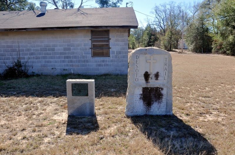
Other nearby markers. At least 8 other markers are within 9 miles of this marker, measured as the crow flies. The 1812 Soldiers (a few steps from this marker); Old Hartford (approx. half a mile away); Federal Pursuit (approx. 1.1 miles away); To Our Confederate Soldiers (approx. 1.4 miles away); Slosheye Trail (approx. 1.4 miles away); Pulaski County (approx. 1.4 miles away); A $100,000 Reward (approx. 4.1 miles away); Bleckley County (approx. 9 miles away). Touch for a list and map of all markers in Hawkinsville.
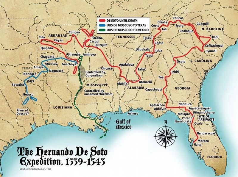
Also see . . . DeSoto Trail. National Park Service Trail Study report (Submitted on May 22, 2021, by Larry Gertner of New York, New York.)
Credits. This page was last revised on May 22, 2021. It was originally submitted on December 13, 2017, by David Seibert of Sandy Springs, Georgia. This page has been viewed 390 times since then and 29 times this year. Photos: 1, 2. submitted on December 13, 2017, by David Seibert of Sandy Springs, Georgia. 3. submitted on May 22, 2021, by Larry Gertner of New York, New York.


