Clinton in Anderson County, Tennessee — The American South (East South Central)
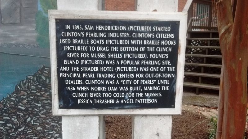
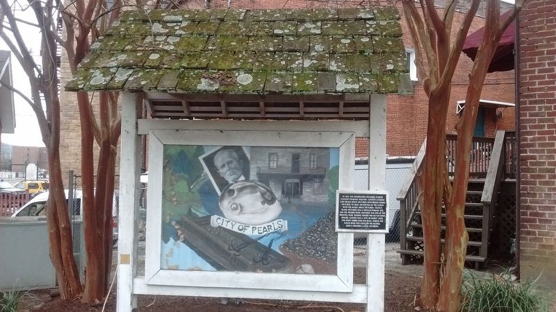
City of Pearls
Erected by Jessica Thrasher & Angel Patterson.
Topics. This historical marker is listed in these topic lists: Animals • Industry & Commerce • Waterways & Vessels. A significant historical year for this entry is 1895.
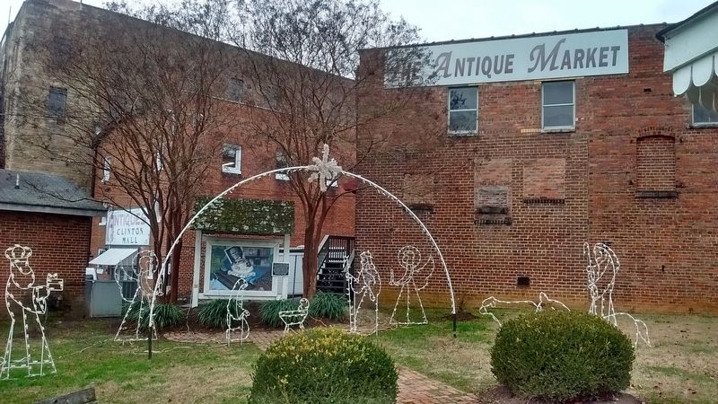
Location. 36° 6.181′ N, 84° 7.9′ W. Marker is in Clinton, Tennessee, in Anderson County. Marker is on Market Place, on the right when traveling east. Marker is located in front of Hoskins - Lane Market Place Park. Touch for map. Marker is in this post office area: Clinton TN 37716, United States of America. Touch for directions.
Other nearby markers. At least 8 other markers are within walking distance of this marker. The Market Place of Pearls (within shouting distance of this marker); Union Bank / Parker Building (within shouting distance of this marker); Rutherford Building (within shouting distance of this marker); Market Street (within shouting distance of this marker); Leinart Co. Building (within shouting distance of this marker); Taylor & Son Building (within shouting distance of this marker); Memorial United Methodist Church (within shouting distance of this marker); Eagle Bend (about 600 feet away, measured in a direct line). Touch for a list and map of all markers in Clinton.
Related markers. Click here for a list of markers that are related to this marker.
Credits. This page was last revised on January 2, 2018. It was originally submitted on January 1, 2018, by Tom Bosse of Jefferson City, Tennessee. This page has been viewed 553 times since then and 43 times this year. Photos: 1, 2, 3. submitted on January 1, 2018, by Tom Bosse of Jefferson City, Tennessee. • Bill Pfingsten was the editor who published this page.


