Violent Clashes
"Flying...in the wildest disorder"
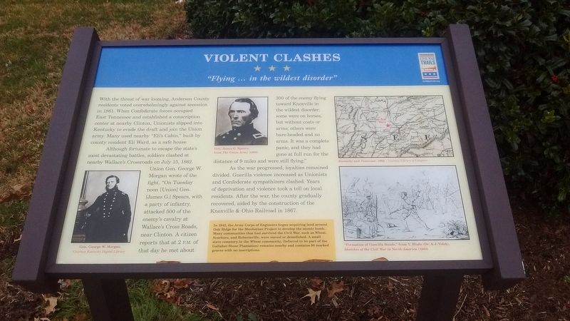
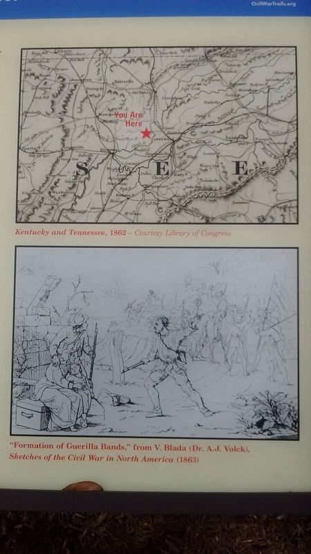
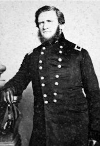
Although fortunate to escape the state's most devastating battles, soldiers clashed at nearby Wallace's Crossroads on July 15, 1862. Union Gen. George W. Morgan wrote of the fight, "On Tuesday noon [Union] Gen. [James G.] Spears, with a party of infantry, attacked 500 of the enemy's cavalry at Wallace's Cross Roads, near Clinton. A citizen reports that at 2 p.m. of that day he net about 300 of the enemy flying toward Knoxville in the wildest disorder; some were on horses, but without coats or arms; others were bare-headed and no arms. It was a complete panic, and they had gone at full run for the distance of 9 miles and were still flying."
As the war progressed, loyalties remained divided. Guerilla violence increased as unionists and Confederate sympathizers clashed. Years of deprivation and violence took a toll on local residents. After the war, the county gradually recovered, aided by the construction of the Knoxville and Ohio Railroad in 1867.
In 1942,
the Army Corps of Engineers began acquiring land around Oak Ridge for the Manhattan Project to develop the atomic bomb. Many communities that had survived the Civil War, such as Wheat, Scarboro, and Robertsville, were moved or demolished. A small slave cemetery in the Wheat community, (believed to be part of the Gallaher-Stone Plantation) remains nearby and contains 90 marked graves with no inscriptions.Erected by Tennessee Civil War Trails.
Topics and series. This historical marker is listed in this topic list: War, US Civil. In addition, it is included in the Tennessee Civil War Trails series list. A significant historical date for this entry is July 15, 1862.
Location. 36° 0.746′ N, 84° 15.461′ W. Marker is in Oak Ridge, Tennessee, in Anderson County. Marker is on South Tulane Avenue, on the right when traveling south. Marker is located in front of the Oak Ridge Public Safety building. Touch for map. Marker is in this post office area: Oak Ridge TN 37830, United States of America. Touch for directions.
Other nearby markers. At least 8 other markers are within walking distance of this marker. The Birth of the City of Oak Ridge, Tennessee (within shouting distance of this marker); a different marker also named The Birth of the City of Oak Ridge, Tennessee (within shouting distance of this marker); a different marker also named The Birth of the City of Oak Ridge, Tennessee (within shouting distance of this marker); a different marker also named The Birth of the City of Oak Ridge, Tennessee (within shouting distance of this marker); Dedicated to the Memory of Those from Oak Ridge Who Gave Their Lives That Freedom Might Live (within shouting distance of this marker); 1944 (about 400 feet away, measured in a direct line); K-25 – The Gaseous Diffusion Plant (about 400 feet away); Oak Ridge Hospital (about 400 feet away). Touch for a list and map of all markers in Oak Ridge.
Credits. This page was last revised on January 2, 2018. It was originally submitted on January 1, 2018, by Tom Bosse of Jefferson City, Tennessee. This page has been viewed 1,052 times since then and 45 times this year. Photos: 1, 2, 3, 4. submitted on January 1, 2018, by Tom Bosse of Jefferson City, Tennessee. • Bill Pfingsten was the editor who published this page.


