Bly in Lake County, Oregon — The American West (Northwest)
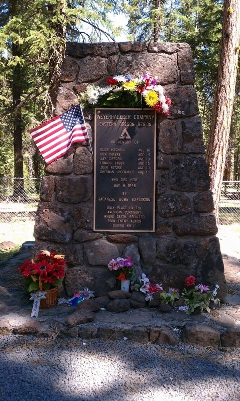
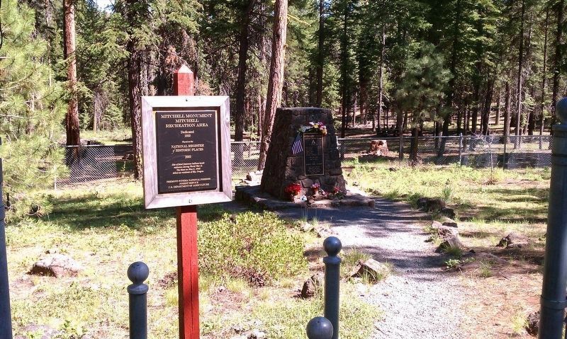
Mitchell Monument
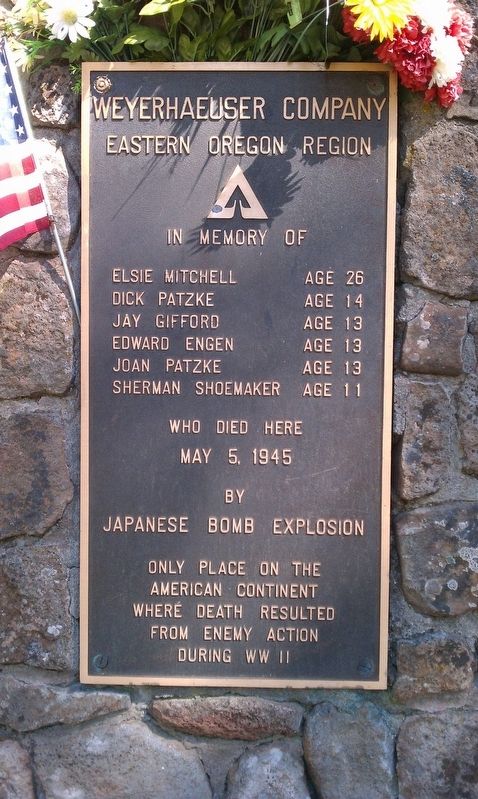
Elsie Mitchell Age 26
Dick Patzke Age 14
Jay Gifford Age 13
Edward Engen Age 13
Joan Patzke Age 13
Sherman Shoemaker Age 11
Who Died Here
May 5, 1945
By
Japanese Bomb Explosion
Only Place On The
American Continent
Where Death Resulted
From Enemy Action
During WW II
Erected 1950 by Weyerhaeuser Company Eastern Oregon Region.
Topics. This monument and memorial is listed in these topic lists: Disasters • War, World II. A significant historical date for this entry is May 5, 1945.
Location. 42° 25.91′ N, 120° 51.607′ W. Marker is in Bly, Oregon, in Lake County. Memorial can be reached from National Forest Development Road 348, on the right when traveling east. Touch for map. Marker is in this post office area: Bly OR 97622, United States of America. Touch for directions.
Other nearby markers. At least 2 other markers are within 10 miles of this marker, measured as the crow flies. Mitchell Monument Shrapnel Tree (a few steps from this marker); Balloon Bomb (approx. 9.8 miles away).
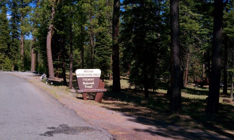
More about this monument. The Mitchell Monument is located about 65 miles North-East of Klamath Falls. The recreation area is typically open from mid-May through the end of October. The site offers fishing, hiking, and wildlife viewing opportunities in addition to being an historic landmark.
As you are leaving Klamath Falls, take Highway 140 East (also known as the Klamath Falls-Lakeview Highway) for approximately 50 miles, to the Bly Ranger District Office. From the office, proceed 1 1/2 miles east on Highway 140, turn left on County Road 1259. Take County Road 1259 for 1/2 mile, then turn right on Forest Road 34. Follow Forest Road 34 for approximately 8 miles. The day use area entrance sign is located on the right.
Related marker. Click here for another marker that is related to this marker.
Photographed By Douglass Halvorsen, June 24, 2012
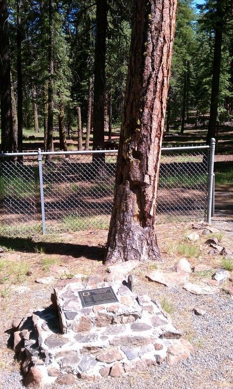
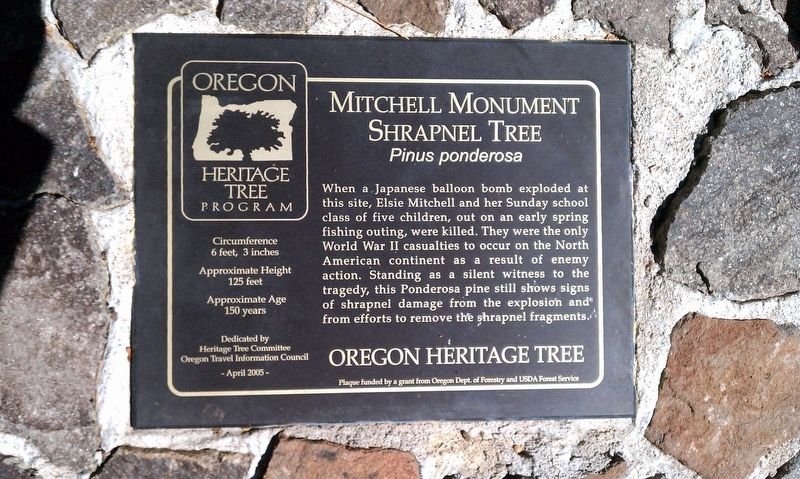
4. Shrapnel Tree
SHRAPNEL TREE
Pinus ponderosa
When a Japanese balloon bomb exploded at this site, Elsie Mitchell and her Sunday school class of five children, out on an early spring fishing outing, were killed. They were the only World War II casualties to occur on the North American continent as a result of enemy action. Standing as a silent witness to the tragedy, this Ponderosa pine still shows signs of shrapnel damage from the explosion and from efforts to remove the shrapnel fragments.
OREGON HERITAGE TREE
Plaque funded by a grant from the Oregon Dept. of Forestry and USDA Forest Service
Credits. This page was last revised on October 19, 2020. It was originally submitted on January 11, 2018, by Douglass Halvorsen of Klamath Falls, Oregon. This page has been viewed 453 times since then and 31 times this year. Photos: 1, 2, 3, 4, 5. submitted on January 11, 2018, by Douglass Halvorsen of Klamath Falls, Oregon. 6. submitted on January 12, 2018, by Douglass Halvorsen of Klamath Falls, Oregon. • Bill Pfingsten was the editor who published this page.
