Gold Hill in Jackson County, Oregon — The American West (Northwest)
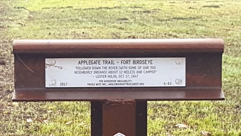
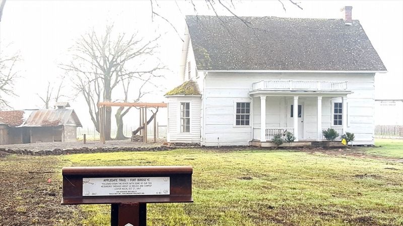
Applegate Trail - Fort Birdseye
neighborly Indians) about 12 m[ile] and camped"
- Lester Hulin, Oct 17, 1847
Erected 2017 by Trails West Inc. (Marker Number A-83.)
Topics and series. This historical marker is listed in these topic lists: Exploration • Forts and Castles • Roads & Vehicles. In addition, it is included in the Applegate Trail, the California Trail, and the Trails West Inc. series lists. A significant historical year for this entry is 1847.
Location. 42° 24.424′ N, 123° 9.034′ W. Marker is in Gold Hill, Oregon, in Jackson County. Marker is on Rogue River Highway (U.S. 99), on the left when traveling west. Touch for map. Marker is in this post office area: Gold Hill OR 97525, United States of America. Touch for directions.
Other nearby markers. At least 8 other markers are within 4 miles of this marker, measured as the crow flies. Fort Birdseye (here, next to this marker); Valley of the Rogue Applegate Trail Kiosk (approx. 1.2 miles away); The City of Rogue River (approx. 2 miles away); Rising above the Rogue (approx. 2 miles away); A Bridge for a New Century (approx. 2 miles away); Crossing the Rogue (approx. 2 miles away); Evan's Ferry (approx. 2 miles away); Rock Point, Oregon (approx. 3˝ miles away). Touch for a list and map of all markers in Gold Hill.
Click on the ad for more information.
Please report objectionable advertising to the Editor.
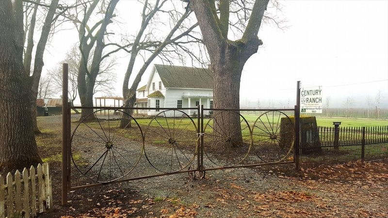
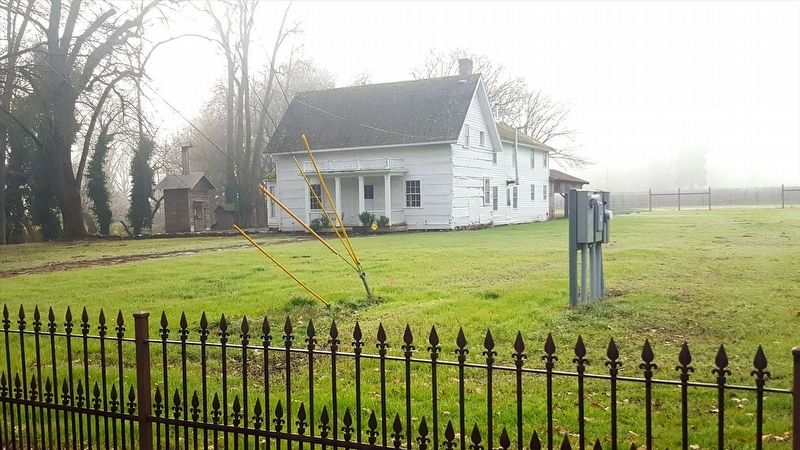
sectionhead>More about this marker. Marker is located behind a cast iron fence next to another historical marker.
Please report objectionable advertising to the Editor.
Credits. This page was last revised on January 19, 2018. It was originally submitted on January 17, 2018, by Douglass Halvorsen of Klamath Falls, Oregon. This page has been viewed 245 times since then and 18 times this year. Photos: 1, 2, 3, 4. submitted on January 17, 2018, by Douglass Halvorsen of Klamath Falls, Oregon. • Bill Pfingsten was the editor who published this page.


