Near Dodge Center in Dodge County, Minnesota — The American Midwest (Upper Plains)
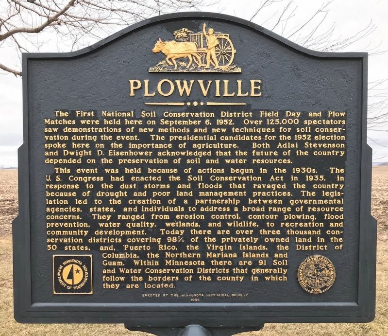
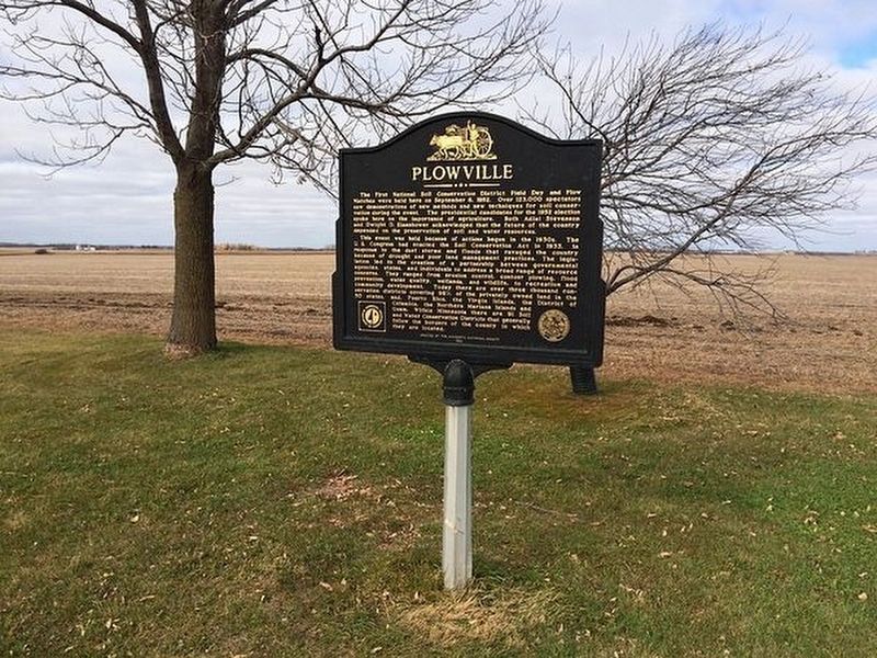
Plowville
This event was held because of actions begun in the 1930s. The U.S. Congress had enacted the Soil Conservation Act in 1935, in response to the dust storms and floods that ravaged the country because of drought and poor land management practices. The legislation led to the creation of a partnership between governmental agencies, states, and individuals to address a broad range of resource concerns. They ranged from erosion control, contour plowing, flood prevention, water quality, wetlands, and wildlife, to recreation and community development. Today there are over three thousand conservation districts covering 98% of the privately owned land in the 50 states, and, Puerto Rico, the Virgin Islands, the District of Columbia, the Northern Mariana Islands and Guam. Within Minnesota there are 91 Soil and Water Conservation Districts that generally follow the borders of the county in which they are located.
Erected 1995 by Minnesota Historical Society.
Topics and series. This historical marker is listed in these topic lists: Agriculture • Government & Politics. In addition, it is included in the Former U.S. Presidents: #34 Dwight D. Eisenhower, and the Minnesota Historical Society series lists. A significant historical date for this entry is September 6, 1952.
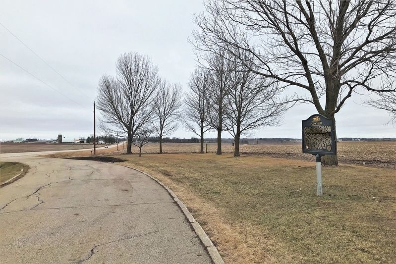
Location. 44° 1.809′ N, 92° 48.43′ W. Marker is near Dodge Center, Minnesota, in Dodge County. Marker is on County Highway 34, 0.4 miles west of 220th Avenue (County Highway 9), on the right when traveling west. Located 2 miles west of Kasson, Minnesota, on Dodge County 34 (Main Street in Kasson). Touch for map. Marker is in this post office area: Kasson MN 55944, United States of America. Touch for directions.
Other nearby markers. At least 5 other markers are within 4 miles of this marker, measured as the crow flies. Kasson Stone Water Tower (approx. 2.7 miles away); Minnesota's 1st Freedom Rock Comes to Kasson (approx. 2.8 miles away); Wasioja's Seminary (approx. 3.3 miles away); Dodge County Civil War Memorial (approx. 3.3 miles away); Wasioja Recruiting Station (approx. 3˝ miles away).
Credits. This page was last revised on April 26, 2022. It was originally submitted on March 13, 2018, by Donald Westfall of Mantorville, Minnesota. This page has been viewed 734 times since then and 95 times this year. Photos: 1. submitted on April 26, 2022. 2. submitted on March 13, 2018, by Donald Westfall of Mantorville, Minnesota. 3. submitted on April 26, 2022. • Bill Pfingsten was the editor who published this page.


