Portsmouth in Rockingham County, New Hampshire — The American Northeast (New England)
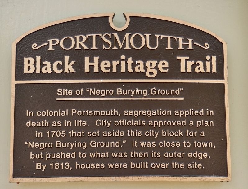
Site of "Negro Burying Ground"
Portsmouth Black Heritage Trail
In colonial Portsmouth, segregation applied in death as in life. City officials approved a plan in 1705 that set aside this city block for a "Negro Burying Ground." It was close to town, but pushed to what was then its outer edge. By 1813, houses were built over the site.
Erected 2000 by Portsmouth Black Heritage Trail.
Topics and series. This historical marker is listed in these topic lists: African Americans • Cemeteries & Burial Sites • Colonial Era. In addition, it is included in the New Hampshire, The Black Heritage Trail of series list. A significant historical year for this entry is 1705.
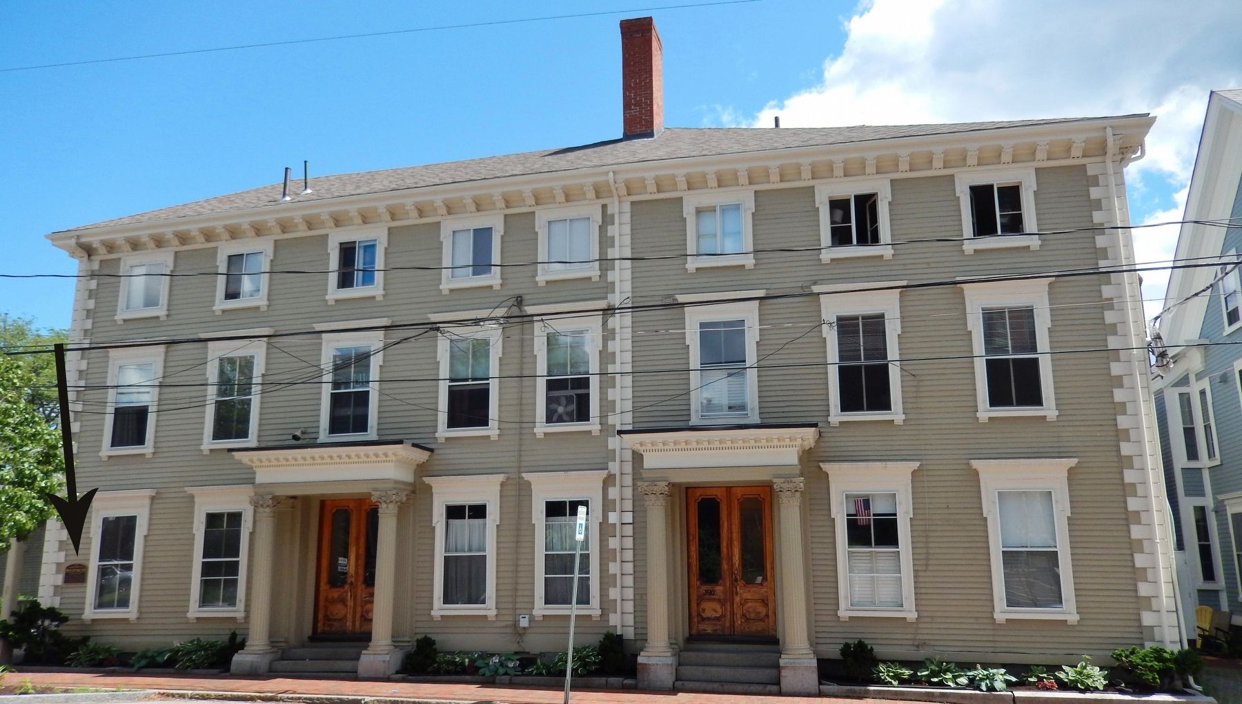
Location. 43° 4.515′ N, 70° 45.545′ W. Marker is in Portsmouth, New Hampshire, in Rockingham County. Marker is on State Street (U.S. 1) east of Middle Street, on the right when traveling east. Marker is a metal plaque mounted at eye level, on the wall, near the northeast corner of the house at this address. Touch for map. Marker is at or near this postal address: 388 State Street, Portsmouth NH 03801, United States of America. Touch for directions.
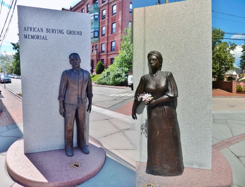
Other nearby markers. At least 8 other markers are within walking distance of this marker. African Burying Ground Memorial (a few steps from this marker); Frank Jones's Hotels (within shouting distance of this marker); John Paul Jones House (about 400 feet away, measured in a direct line); In This House Admiral (John) Paul Jones Resided (about 400 feet away); The Continental Frigate "Raleigh" (about 400 feet away); Joseph & Nancy (Cotton) and their children, Eleazor & James (about 400 feet away); The South Church (about 400 feet away); 18 Congress (about 600 feet away). Touch for a list and map of all markers in Portsmouth.
Related markers. Click here for a list of markers that are related to this marker. Portsmouth Black Heritage Trail
Also see . . .
1. Portsmouth Black Heritage Trail.
Records show deaths among Portsmouth blacks were from unhealthy living conditions, malnutrition, and hazardous work. Smallpox deaths are absent because black Americans practiced inoculation, a procedure they had brought from western Africa. Inoculation spread gradually among white Yankees after Boston minister Cotton Mather learned about it from his enslaved Coromantee man in 1721 and told his doctor, Zabdiel Boylston. (Submitted on April 7, 2018, by Cosmos Mariner of Cape Canaveral, Florida.)
2. African Burying Ground and Memorial Park.
In 1995, the Portsmouth Black Heritage Trail included the area known as the "Negro Burying Ground" among its twenty-four historic sites reflecting the presence of African people in New Hampshire since 1645. The Trail described the burial site in its first publications, a walking tour guidebook and a teacher resource book, both widely distributed throughout the region. Then, in 2000, the Trail installed one of its many distinctive cast bronze plaques on what is believed to be the first house built over part of the African Burying Ground. (Submitted on April 7, 2018, by Cosmos Mariner of Cape Canaveral, Florida.)

Photographed By Cosmos Mariner, June 28, 2017
3. African Burying Ground Memorial Plaque (near marker - on east side of same building)
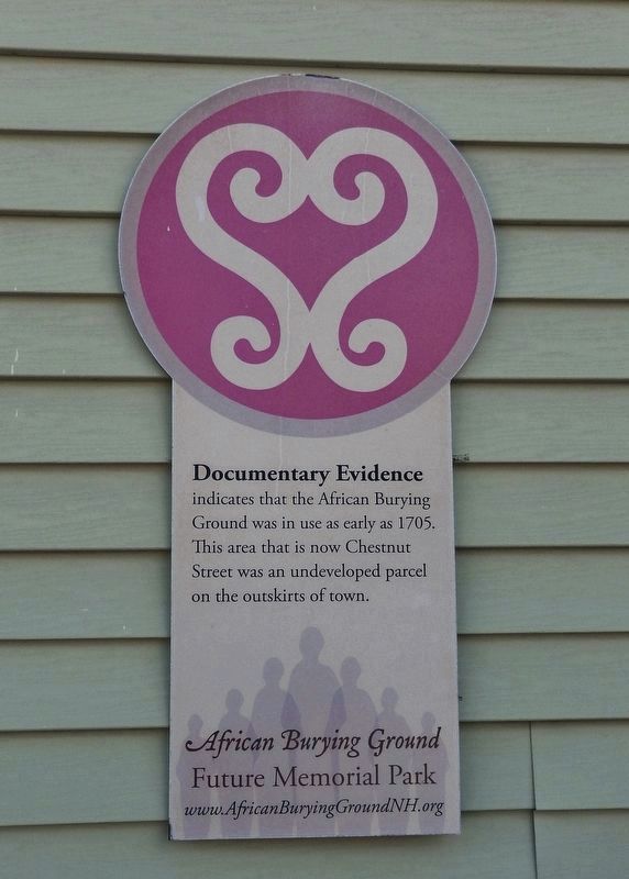
Documentary Evidence
indicates that the African Burying Ground was in use as early as 1705. This area that is now Chestnut Street was an undeveloped parcel on the outskirts of town.
indicates that the African Burying Ground was in use as early as 1705. This area that is now Chestnut Street was an undeveloped parcel on the outskirts of town.
Credits. This page was last revised on April 8, 2018. It was originally submitted on April 7, 2018, by Cosmos Mariner of Cape Canaveral, Florida. This page has been viewed 183 times since then and 22 times this year. Photos: 1, 2, 3, 4. submitted on April 7, 2018, by Cosmos Mariner of Cape Canaveral, Florida. • Andrew Ruppenstein was the editor who published this page.


