Islamorada in Monroe County, Florida — The American South (South Atlantic)
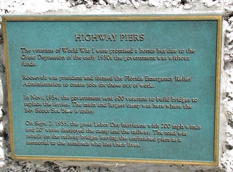
Highway Piers
The veterans of World War I were promised a bonus but due to the Great Depression of the early 1930s the government was without funds.
Roosevelt was president and formed the Florida Emergency Relief Administration to create jobs for those out of work.
In Nov., 1934, the government sent 600 veterans to build bridges to replace the ferries. The main and largest camp was here were the Boy Scout Sea Base is today.
On Sept. 2, 1935, the great Labor Day hurricane with 200 mph winds and 20’ waves destroyed the camp and the railway. The road was rebuilt on the railway bridges leaving the unfinished piers as a memorial to the hundreds who lost their lives.
Topics and series. This historical marker is listed in these topic lists: Bridges & Viaducts • Charity & Public Work • Disasters. In addition, it is included in the Former U.S. Presidents: #32 Franklin D. Roosevelt series list. A significant historical month for this entry is November 1934.
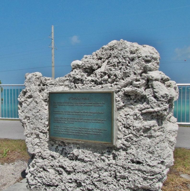
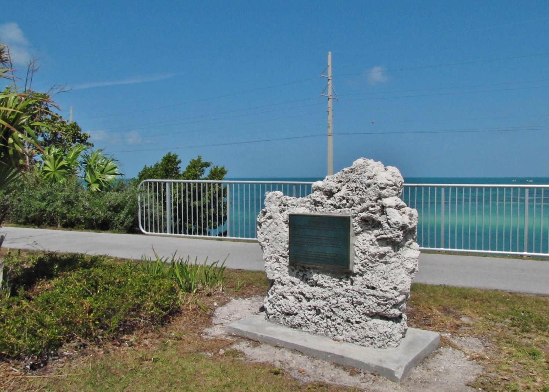
Location. 24° 50.71′ N, 80° 44.858′ W. Marker is in Islamorada, Florida, in Monroe County. Marker is on Overseas Highway (U.S. 1 at milepost 73), 0.8 miles south of Tollgate Boulevard, on the right when traveling south. Marker is located at the south end of the overnight parking lot, just north of Channel Two Pier, overlooking Veterans Key and the Matecumbe Harbor where the pier remnants can still be seen. Touch for map. Marker is in this post office area: Islamorada FL 33036, United States of America. Touch for directions.
Other nearby markers. At least 8 other markers are within 6 miles of this marker, measured as the crow flies. Road and Ferry (approx. 0.3 miles away); Site of Camp Three (approx. ¾ mile away); Tea Table Key (approx. 5.3 miles away); San Pedro Underwater Archaeological Preserve (approx. 5.4 miles away); Indian Key Historic State Park (approx. 5.4 miles away); Triangle of History (approx. 5.4 miles away); Juan Ponce de Leon (approx. 5.4 miles away); Rafters (approx. 5.4 miles away). Touch for a list and map of all markers in Islamorada.
More about this marker. This marker uses the words "Florida Emergency Relief Administration", but Roosevelt actually created the "Federal Emergency Relief Administration".
Also see . . .
1. Overseas Highway. By the early 1930s it was clear that the ferries were insufficient for the travel needs of the keys, and Monroe County and the State Road Department began making plans to connect the two portions of State Road 4A to make a continuous highway. Funding was scarce as the country was in the midst of the Great Depression, but funding would eventually come through the Federal Emergency Relief Administration, part of President Franklin D. Roosevelt's New Deal. Hundreds of disgruntled World War I veterans seeking early payment of wartime bonuses were employed for construction on the roadway and bridges as part of a government relief program. (Submitted on April 9, 2018, by Cosmos Mariner of Cape Canaveral, Florida.)
2. The Florida Keys 1935 Hurricane. Help was sent to evacuate the veterans and others working on the construction project. However, the plan was executed too late to be effective. The train sent to bring them to safety reached the area about the same time as the Category-5 hurricane made landfall. Except for the engine, all of the train's 10 cars were forced off the tracks and flipped when the surge hit. Some of the people on board were killed outright when the train overturned. Others were killed by the devastating storm surge. (Submitted on April 9, 2018, by Cosmos Mariner of Cape Canaveral, Florida.)
Credits. This page was last revised on October 28, 2020. It was originally submitted on April 9, 2018, by Cosmos Mariner of Cape Canaveral, Florida. This page has been viewed 836 times since then and 92 times this year. Photos: 1, 2, 3. submitted on April 9, 2018, by Cosmos Mariner of Cape Canaveral, Florida. • Bernard Fisher was the editor who published this page.


