Conroe
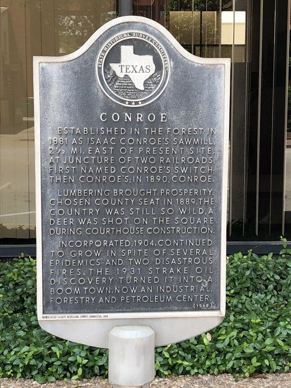
Established in the forest in 1881 as Isaac Conroe's sawmill, 2-1/2 mi. east of present site, at juncture of two railroads, first named Conroe's Switch; then Conroe's; in 1890, Conroe.
Lumbering brought prosperity. Chosen county seat in 1889. The country was still so wild, a deer was shot on the Square during Courthouse construction.
Incorporated, 1904. Continued to grow in spite of several epidemics and two disastrous fires. The 1931 Strake Oil discovery turned it into a boom town. Now an industrial, forestry and petroleum center.
Erected 1966 by State Historical Survey Committee. (Marker Number 7867.)
Topics. This historical marker is listed in these topic lists: Industry & Commerce • Settlements & Settlers.
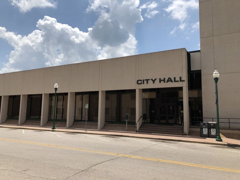
Location. 30° 18.759′ N, 95° 27.496′ W. Marker is in Conroe, Texas, in Montgomery County. Marker is on North Thompson Street, on the right when traveling south. Marker is located in front of the Conroe City Hall. Touch for map. Marker is at or near this postal address: 300 West Davis Street, Conroe TX 77301, United States of America. Touch for directions.
Other nearby markers. At least 8 other markers are within one mile of this marker, measured as the crow flies. Montgomery County Courthouses (about 400 feet away, measured in a direct line); Conroe Fire of 1911 (about 500 feet away);
More about this marker. Incised in base: Montgomery County Historical Survey Committee, 1966
Also see . . . Conroe, Texas - The Handbook of Texas Online. Texas State Historical Association (TSHA) (Submitted on June 13, 2018, by Brian Anderson of Humble, Texas.)
Credits. This page was last revised on November 28, 2020. It was originally submitted on May 13, 2018, by Brian Anderson of Humble, Texas. This page has been viewed 262 times since then and 18 times this year. Photos: 1, 2. submitted on May 13, 2018, by Brian Anderson of Humble, Texas. • Andrew Ruppenstein was the editor who published this page.

