Norman in Cleveland County, Oklahoma — The American South (West South Central)
Cleveland County Courthouse
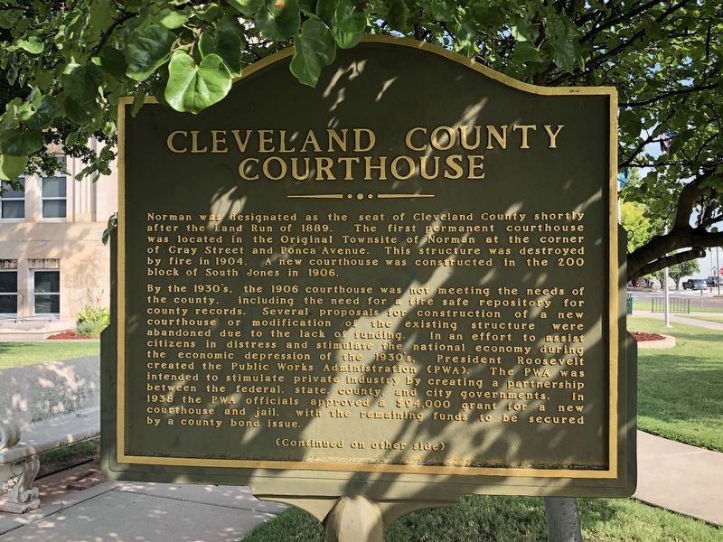
Norman was designated as the seat of Cleveland County shortly after the Land Run of 1889. The first permanent courthouse was located in the Original Townsite of Norman at the corner of Gray Street and Ponca Avenue. This structure was destroyed by fire in 1904. A new courthouse was constructed in the 200 block of South Jones in 1906.
By the 1930's, the 1906 courthouse was not meeting the needs of the county, including the need for a fire safe repository for county records. Several proposals for construction of a new courthouse or modification of the existing structure were abandoned due to the lack of funding. In an effort to assist citizens in distress and stimulate the national economy during the economic depression of the 1930's, President Roosevelt created the Public Works Adininistration (PWA). The PWA was intended to stimulate private industry by creating a partnership between the federal, state, county, and city governments. In 1938 the PWA officials approved a $94,000 grant for a new courthouse and jail, with the remaining funds to be secured by a county bond issue.
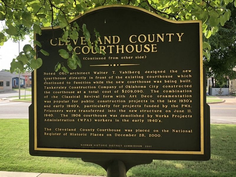
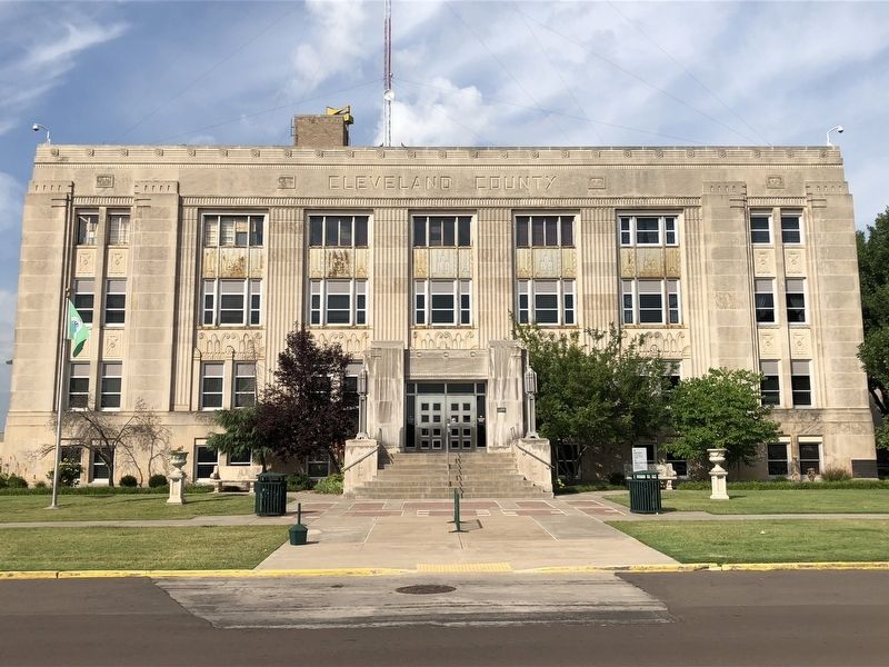
Noted OKC architect Walter T. Vahlberg designed the new courthouse directly in front of the existing courthouse which continued to function while the new courthouse was being built. Tankersley Construction Company of Oklahoma City constructed the courthouse at a total cost of $209,090. The combination of the Classical Revival form with Art Deco ornamentation was popular for public construction projects in the late 1930's and early 1940's, particularly for projects funded by the PWA. Prisoners were transferred into the new structure on June 11, 1940. The 1906 courthouse was demolished by Works Projects Administration (WPA) workers in the early 1940's.
The Cleveland County Courthouse was placed on the National Register of Historic Places on December 28, 2000.
Erected 2001 by Norman Historic District Commission.
Topics and series. This historical marker is listed in this topic list: Notable Buildings. In addition, it is included in the Art Deco, and the Works Progress Administration (WPA) projects series lists. A significant historical date for this entry is June 11, 1940.
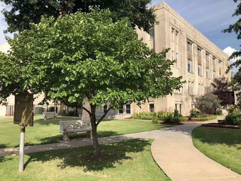
Location. 35° 13.183′ N, 97° 26.464′ W. Marker is in Norman, Oklahoma, in Cleveland County. Marker is at the intersection of East Eufaula Street and South Peters Avenue, on the left when traveling east on East Eufaula Street. Marker is located on the courthouse grounds. Touch for map. Marker is at or near this postal address: 200 South Peters Avenue, Norman OK 73069, United States of America. Touch for directions.
Other nearby markers. At least 6 other markers are within 15 miles of this marker, measured as the crow flies. The Beginning of Cleveland County (within shouting distance of this marker); Sam Noble Oklahoma Museum of Natural History (approx. 1.8 miles away); Dave Blue Trading Post (approx. 4˝ miles away); Camp Holmes Treaty (approx. 15 miles away); Run of '89 South Boundary (approx. 15 miles away); Col. John L. Smith (approx. 15 miles away).
Credits. This page was last revised on August 26, 2020. It was originally submitted on August 13, 2018, by Brian Anderson of Humble, Texas. This page has been viewed 240 times since then and 30 times this year. Last updated on August 14, 2018, by Brian Anderson of Humble, Texas. Photos: 1, 2, 3, 4. submitted on August 13, 2018, by Brian Anderson of Humble, Texas. • Andrew Ruppenstein was the editor who published this page.


