Rocksprings in Edwards County, Texas — The American South (West South Central)
Edwards County
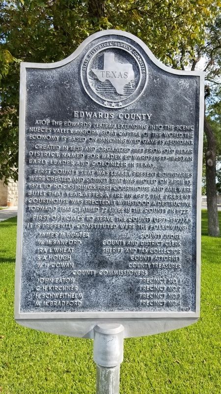
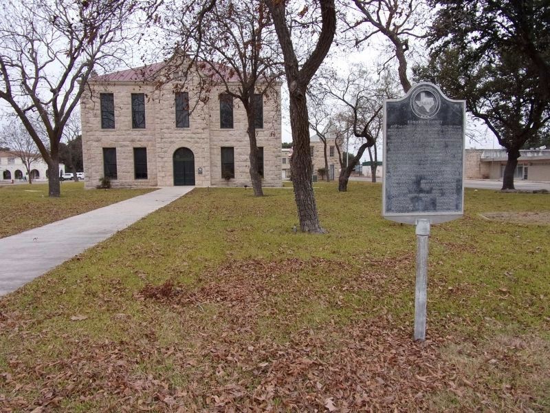
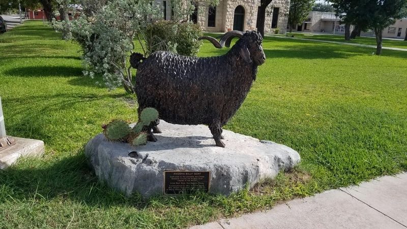
Atop the Edwards Plateau, extending into the scenic Nueces Valley. Angora goat capital of the world. The economy is based on ranching. Wild game is abundant. Created in 1858 and organized 1883 from old Bexar district. Named for Haden Edwards (1813-1865), an early leader and colonizer in Texas. First county seat was Leakey; present boundaries were created, and county seat was moved on April 13, 1891, to Rocksprings. First courthouse and jail were built that year. After a fire in 1897, the present courthouse was erected; it withstood a destructive tornado that claimed 72 lives in the county in 1927. First officials to serve the county (1891-1893) as it is presently constituted were the following: James M. Hunter, County Judge; W. M. Sanford, County and District Clerk; Ira L. Wheat, Sheriff and Tax Collector; S.A. Hough, County Attorney; W.H. Cowan, County Treasurer County Commissioners: John Eaton, Precinct No. 1; C. H. Kirchner, Precinct No. 2; H. Schweithelm, Precinct No. 3; M. M. Bradford, Precinct No. 4
Erected 1967 by Texas Historical Commission. (Marker Number 1400.)
Topics. This historical marker is listed in these topic lists: Disasters • Settlements & Settlers. A significant historical date for this entry is April 13, 1891.
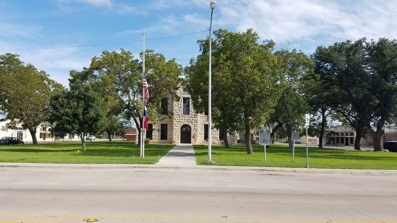
Location. 30° 0.951′ N, 100° 12.485′ W. Marker is in Rocksprings, Texas, in Edwards County. Marker is at the intersection of West Main Street and North Well Street, on the right when traveling west on West Main Street. Touch for map. Marker is in this post office area: Rocksprings TX 78880, United States of America. Touch for directions.
Other nearby markers. At least 8 other markers are within walking distance of this marker. The Sesquicentennial Committee Erects This Marker (here, next to this marker); Edwards County Courthouse (within shouting distance of this marker); Rocksprings Telephone Company (within shouting distance of this marker); Old Carson Store (about 300 feet away, measured in a direct line); Gilmer Hotel (about 400 feet away); Headquarters, American Angora Goat Breeders' Assn. (about 400 feet away); First Methodist Church (about 500 feet away); Site of Rocksprings' First School Building (about 700 feet away). Touch for a list and map of all markers in Rocksprings.
Credits. This page was last revised on December 1, 2019. It was originally submitted on September 3, 2018, by Mike Wintermantel of Pittsburgh, Pennsylvania. This page has been viewed 167 times since then and 12 times this year. Photos: 1. submitted on September 3, 2018, by Mike Wintermantel of Pittsburgh, Pennsylvania. 2. submitted on November 30, 2019, by Kayla Harper of Dallas, Texas. 3, 4. submitted on September 3, 2018, by Mike Wintermantel of Pittsburgh, Pennsylvania.


