Plymouth, England, United Kingdom — Northwestern Europe (the British Isles)
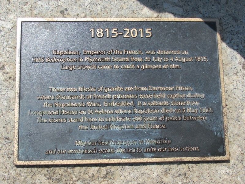
1815 - 2015
Napoleon, Emperor of the French, was detained on HMS Bellerophon in Plymouth Sound from 26 July to 4 August 1815. Large crowds came to catch a glimpse of him.
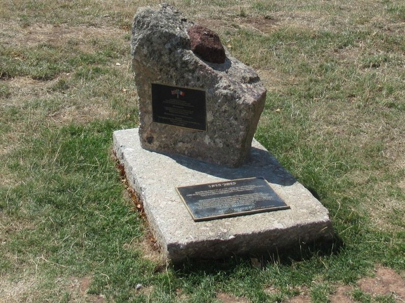
These two blocks of granite are from Dartmoor Prison, where thousands of French prisoners were held captive during the Napoleanic wars. Embedded, is a volcanic stone from Longwood House on St Helena where Napoleon died on 5 May 1821. The stones stand here to celebrate 200 years of peace between the United Kingdom and France.
May our hearts be open to friendship and our arms reach across the sea to unite our two nations.
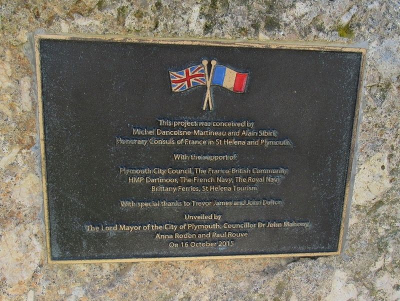
( upper plaque )
Michel Dancoisne-Martineau and Alain Sibiril,
Honorary Consuls of France in St Helena and Plymouth
With the support of
Plymouth City Council, The Franco-British Community
HMP Dartmoor, The French Navy, The Royal Navy
Brittany Ferries, St Helena Tourism
With special thanks to Trevor James and John Dalton
Unveiled by
The Lord Mayor of the City of Plymouth, Councillor Dr John Mahony
Anna Roden and Paul Rouve
On 16 October 2015
Topics. This historical marker is listed in these topic lists: Peace • Wars, Non-US • Waterways & Vessels.
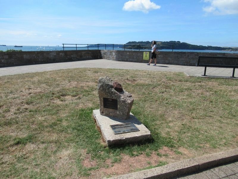
Location. 50° 21.794′ N, 4° 8.231′ W. Marker is in Plymouth, England. Marker is at the intersection of Madeira Road and Hoe Road, on the right when traveling east on Madeira Road. Touch for map. Marker is in this post office area: Plymouth, England PL1 2NY, United Kingdom. Touch for directions.
Other nearby markers. At least 8 other markers are within walking distance of this marker. Napoleon Bonaparte in Plymouth Sound (here, next to this marker); Ships’ Cannon (about 180 meters away, measured in a direct line); The Laboratory on the Hoe (about 240 meters away); Way of Saint James (approx. 0.2 kilometers away); Royal Marines Memorial (approx. 0.3 kilometers away); a different marker also named The Laboratory on the Hoe (approx. 0.3 kilometers away); a different marker also named The Laboratory on the Hoe (approx. 0.3 kilometers away); Plymouth Royal Citadel (approx. 0.3 kilometers away). Touch for a list and map of all markers in Plymouth.
Credits. This page was last revised on January 27, 2022. It was originally submitted on September 26, 2018, by Michael Herrick of Southbury, Connecticut. This page has been viewed 149 times since then and 7 times this year. Photos: 1, 2, 3, 4. submitted on September 26, 2018, by Michael Herrick of Southbury, Connecticut.


