Smiths Falls in Lanark County, Ontario — Central Canada (North America)
Beckwith Street and Bridge / La rue et le pont Beckwith
Inscription.
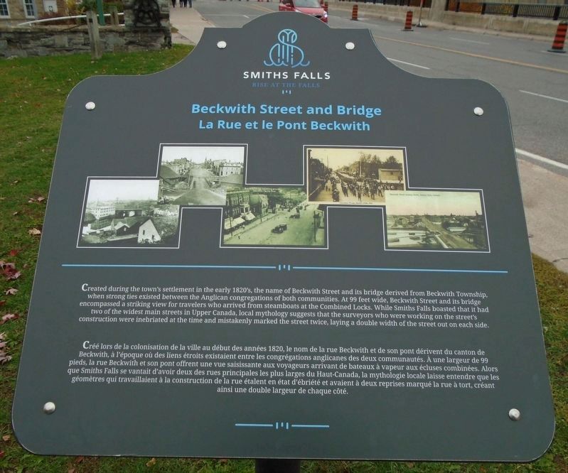
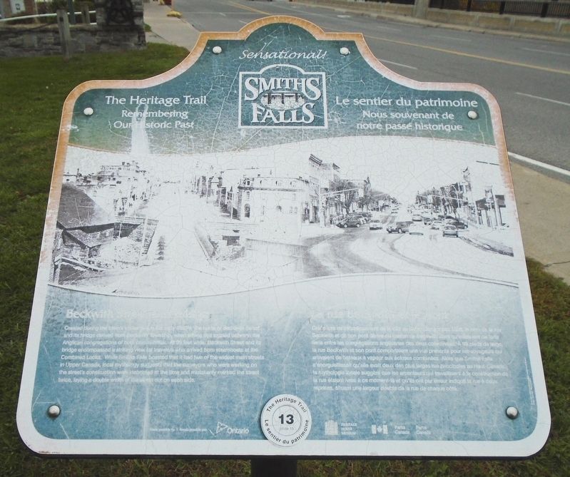
Created during the town's settlement in the early 1820's, the name of Beckwith Street and its bridge derived from Beckwith Township, when strong ties existed between the Anglican congregations of both communities. At 99 feet wide, Beckwith Street and its bridge encompassed a striking view for travelers who arrived from steamboats at the Combined Locks. While Smiths Falls boasted that it had two of the widest main streets in Upper Canada, local mythology suggests that the surveyors who were working on the street's construction were inebriated at the time and mistakenly marked the street twice, laying a double width of the street out on each side.
Créé lors de la colonisation de la ville au début des années 1820, le nom de la rue Beckwith et de son pont dérivent du canton de Beckwith, à l'époque où des liens étroits existaient entre les congrégations anglicanes des deux communautés. À une largeur de 99 pieds, la rue Beckwith et son pont offrent une vue saisissante aux voyageurs arrivant de bateaux à vapeur aux écluses combinées. Alors que Smiths Falls se vantait d'avoir deux des rues principales les plus larges du Haut-Canada, la mythologie locale laisse entendre que les géomètres qui travaillaient à la construction de la rue étalent en état d'ébriété et avaient à deux reprises marqué la rue à tort, créant ainsi une double largeur de chaque côté.
Topics. This historical marker is listed in these topic lists: Bridges & Viaducts • Man-Made Features • Roads & Vehicles. A significant historical year for this entry is 1820.
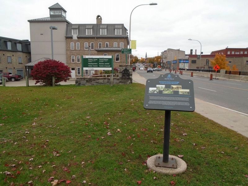
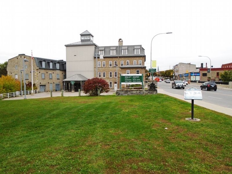
Location. 44° 53.875′ N, 76° 1.261′ W. Marker is in Smiths Falls, Ontario, in Lanark County. Marker is on Beckwith Street South (Provincial Highway 15), on the right when traveling south. Touch for map. Marker is at or near this postal address: 34 Beckwith Street South, Smiths Falls ON K7A 2A8, Canada. Touch for directions.
Other nearby markers. At least 8 other markers are within walking distance of this marker. Wood's Mill / Moulin de Wood (a few steps from this marker); Vimy Oaks / Les chênes de Vimy (within shouting distance of this marker); To Commemorate the Opening of the Rideau Canal 1832 (within shouting distance of this marker); War Memorial (within shouting distance of this marker); HMCS/MHCS Smiths Falls (within shouting distance of this marker); Rotary Club Swimming Pool Stone / La pierre de la piscine du club Rotary (about 90 meters away, measured in a direct line); Automated Lock / Une écluse automatique (about 90 meters away); Welcome to Combined Locks (about 120 meters away). Touch for a list and map of all markers in Smiths Falls.
More about this marker.
The current marker's English text is identical to the deteriorated marker text that it replaced, while there is improvement to the French text. The marker was replaced sometime between October 2018 and October 2019, and the new marker does not carry the number "13."
Also see . . . Smiths Falls Official Website. (Submitted on October 11, 2018, by William Fischer, Jr. of Scranton, Pennsylvania.)
Credits. This page was last revised on November 3, 2019. It was originally submitted on October 11, 2018, by William Fischer, Jr. of Scranton, Pennsylvania. This page has been viewed 162 times since then and 10 times this year. Photos: 1. submitted on November 3, 2019, by William Fischer, Jr. of Scranton, Pennsylvania. 2. submitted on October 12, 2018, by William Fischer, Jr. of Scranton, Pennsylvania. 3. submitted on November 3, 2019, by William Fischer, Jr. of Scranton, Pennsylvania. 4. submitted on October 12, 2018, by William Fischer, Jr. of Scranton, Pennsylvania.


