Beverly Hills in Los Angeles County, California — The American West (Pacific Coastal)
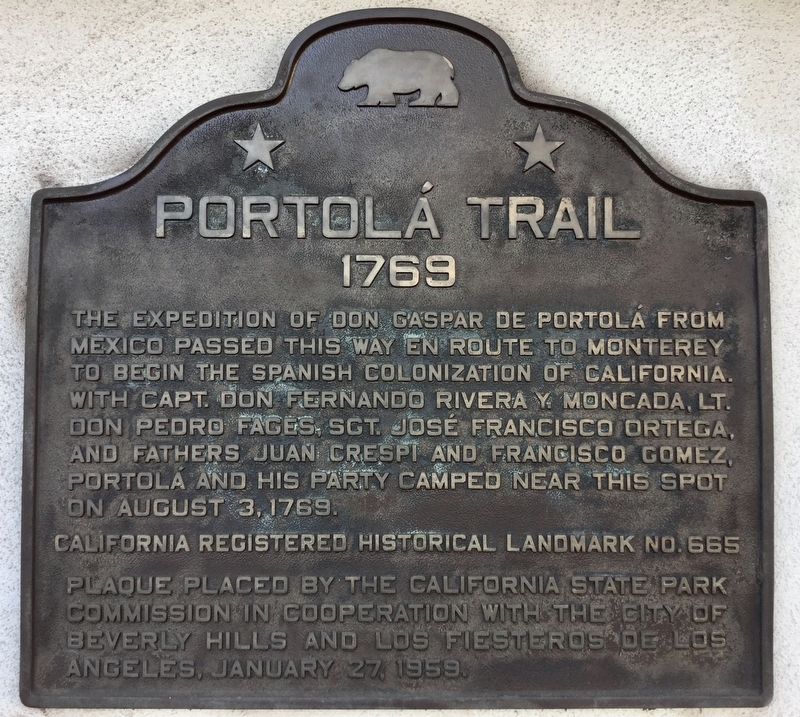
Portolá Trail 1769
Erected 1959 by California State Parks; City of Beverly Hills; & Los Fiesteros de Los Angeles. (Marker Number 665.)
Topics and series. This historical marker is listed in this topic list: Exploration. In addition, it is included in the California Historical Landmarks, and the Portolá Expedition series lists. A significant historical date for this entry is August 3, 1769.
Location. 34° 3.731′ N, 118° 22.579′ W. Marker is in Beverly Hills, California, in Los Angeles County. Marker is on La Cienega Boulevard south of Gregory Way, on the right when traveling south. Touch for map. Marker is at or near this postal address: 325 S La Cienega Blvd, Beverly Hills CA 90211, United States of America. Touch for directions.
Other nearby markers. At least 8 other markers are within 2 miles of this marker, measured as the crow flies. "Snowshoe" Thompson (approx. half a mile away); Juan Bautista de Anza (approx. half a mile away); Daniel O. McCarthy (approx. half a mile away); Jedediah Strong Smith (approx. 0.6 miles away); Carthay Circle (approx. 0.6 miles away); Berlin Wall Segments (approx. one mile away); Chester Stock, Ph.D. / Observation Pit (approx. 1.1 miles away); The History of Gilmore Oil Company 1900-1945 (approx. 1.2 miles away).
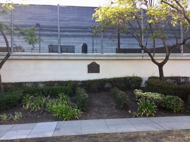
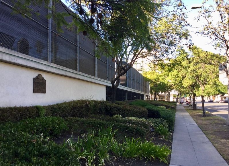
More about this marker. At the La Cienega Tennis Center, on an exterior wall facing the street.
Credits. This page was last revised on January 30, 2023. It was originally submitted on October 19, 2018, by Craig Baker of Sylmar, California. This page has been viewed 429 times since then and 24 times this year. Photos: 1, 2, 3. submitted on October 19, 2018, by Craig Baker of Sylmar, California. • Andrew Ruppenstein was the editor who published this page.


