Van Nuys in Los Angeles in Los Angeles County, California — The American West (Pacific Coastal)
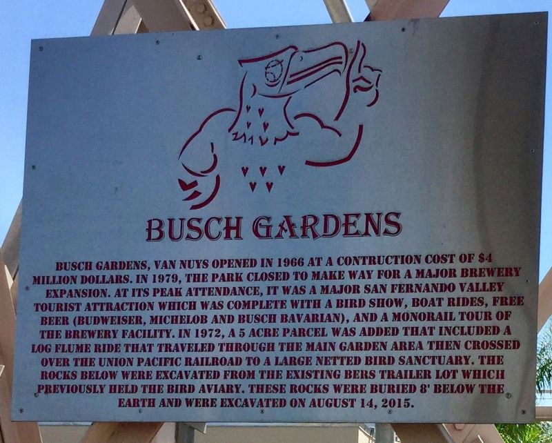
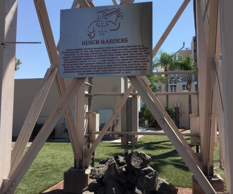
Busch Gardens
Erected 2018 by Anheuser Busch.
Topics. This historical marker is listed in these topic lists: Entertainment • Industry & Commerce • Parks & Recreational Areas.
Location. 34° 13.245′ N, 118° 28.649′ W. Marker is in Los Angeles, California, in Los Angeles County. It is in Van Nuys. Marker can be reached from Roscoe Boulevard west of Interstate 405, on the left when traveling west. Touch for map. Marker is at or near this postal address: 15800 Roscoe Boulevard, Van Nuys CA 91406, United States of America. Touch for directions.
Other nearby markers. At least 8 other markers are within 3 miles of this marker, measured as the crow flies. Van Nuys Airport (approx. ¾ mile away); Sepulveda Unitarian Universalist Society (approx. 1.6 miles away); National Day of Remembrance (approx. 1.7 miles away); El Encanto (approx. 2 miles away); United States Armed Forces (approx. 2.2 miles away); The Baird House (approx. 2.7 miles away); Birmingham Army Hospital (approx. 2.7 miles away); American Legion Post 817 (approx. 2.8 miles away). Touch for a list and map of all markers in Los Angeles.
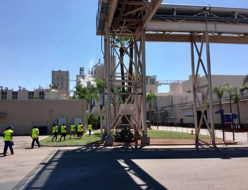
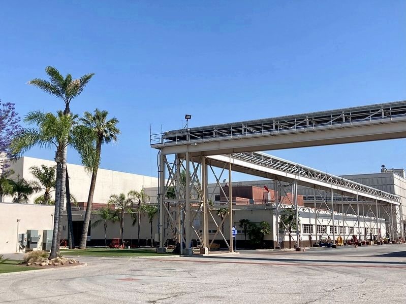
More about this marker. The marker is located within the brewery property, which is not open to the public. The marker can be viewed from a distance through the front gate.
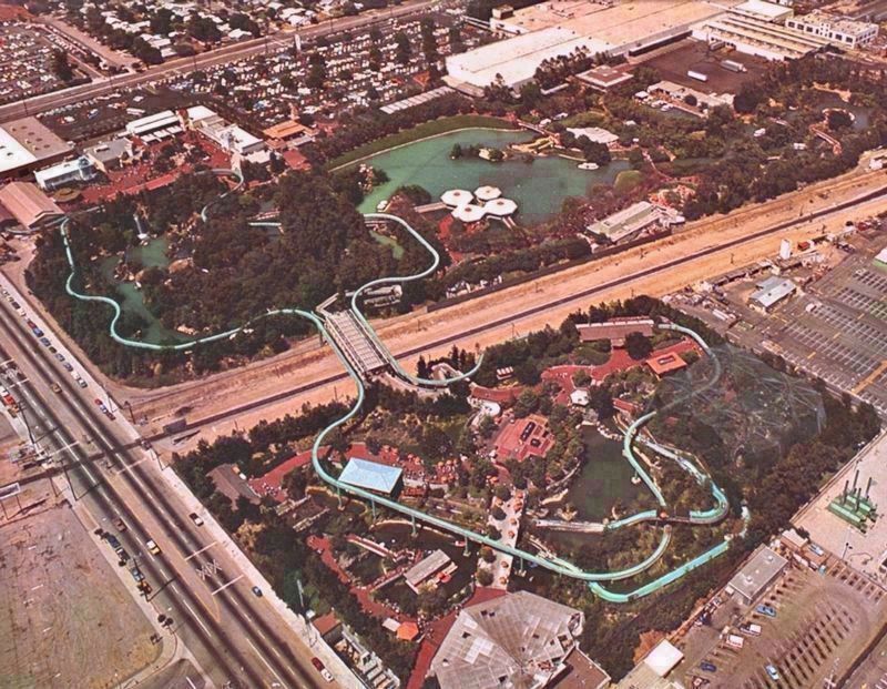
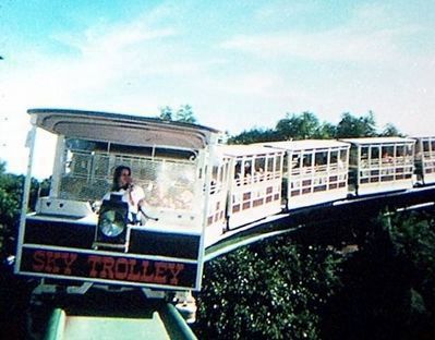
A mistake on the marker says the log flume ride crossed over the railroad, but it never did. It’s the tram ride that crossed the railroad, with a track painted blue that looks similar to the flume ride in photos. (I grew up visiting Busch Gardens, then worked on the brewery expansion. -CB)
The first Busch Gardens was 30 miles east of here, in Pasadena, at the home of Adolphus Busch, whose garden was a tourist attraction from 1905 to 1937. Some features of those gardens can still be seen today, in the residential neighborhood surrounding Busch Garden Drive.
Credits. This page was last revised on March 3, 2024. It was originally submitted on August 5, 2018, by Craig Baker of Sylmar, California. This page has been viewed 26,318 times since then and 9,312 times this year. Last updated on October 28, 2018, by Craig Baker of Sylmar, California. Photos: 1, 2, 3. submitted on August 5, 2018, by Craig Baker of Sylmar, California. 4. submitted on June 2, 2023, by Craig Baker of Sylmar, California. 5. submitted on August 5, 2018, by Craig Baker of Sylmar, California. 6. submitted on January 21, 2023, by Craig Baker of Sylmar, California. 7, 8. submitted on August 5, 2018, by Craig Baker of Sylmar, California. • Andrew Ruppenstein was the editor who published this page.
