Near Cookville in Titus County, Texas — The American South (West South Central)
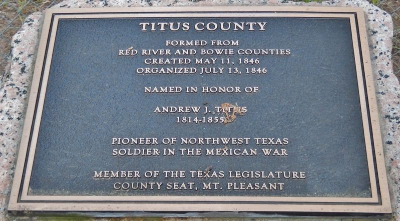
Titus County
Red River and Bowie counties
Created May 11, 1846
Organized July 13, 1846
Named in honor of
Andrew J. Titus
1814-1855
Pioneer of northwest Texas
Soldier in the Mexican War
Member of the Texas Legislature
County seat, Mt. Pleasant
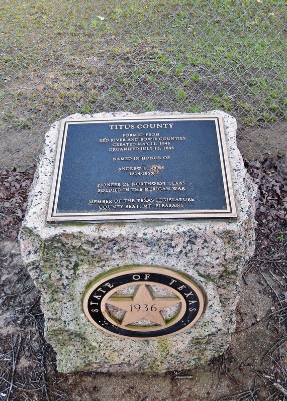
Erected 1936 by State of Texas. (Marker Number 11184.)
Topics and series. This memorial is listed in these topic lists: Settlements & Settlers • War, Mexican-American. In addition, it is included in the Texas 1936 Centennial Markers and Monuments series list. A significant historical date for this entry is May 11, 1846.
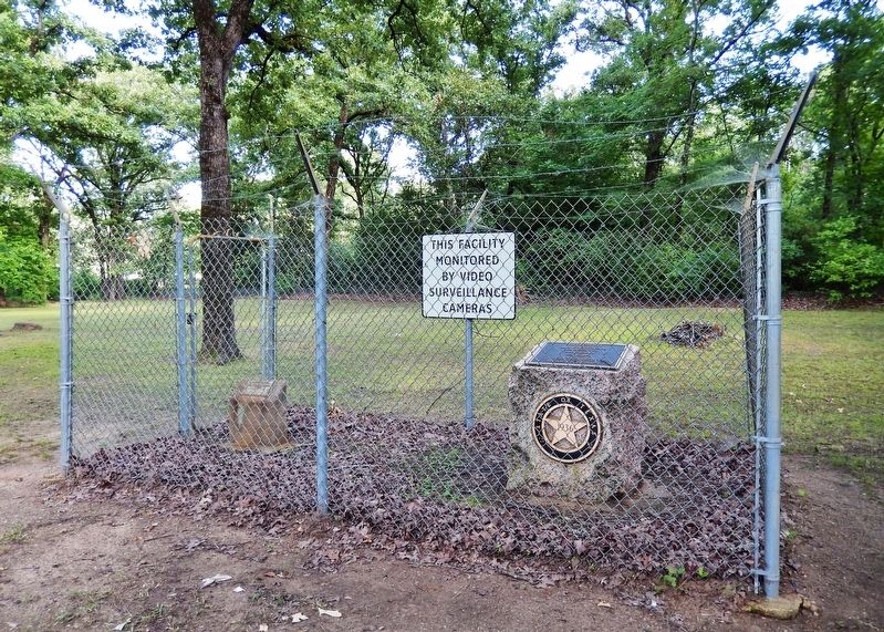
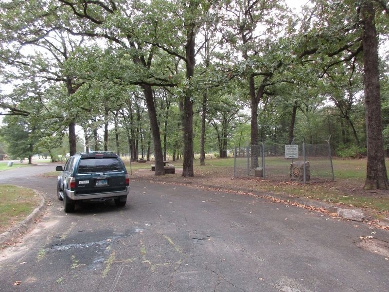
Location. 33° 11.207′ N, 94° 49.569′ W. Marker is near Cookville, Texas, in Titus County. Memorial is on U.S. 67, 1˝ miles east of County Highway 4054, on the right when traveling east. Marker is located within a state roadside park on the south side of the highway. Marker is surrounded by a protective security fence. Touch for map. Marker is in this post office area: Cookville TX 75558, United States of America. Touch for directions.
Other nearby markers. At least 8 other markers are within 9 miles of this marker, measured as the crow flies. Concord Meeting House (approx. 2.6 miles away); Caddo Indian Communities in the Cypress Creek Drainage (approx. 5.2 miles away); Site of Valley View School (approx. 5.6 miles away); Snow Hill Baptist Church (approx. 6.8 miles away); Snow Hill Cemetery (approx. 6.8 miles away); Nevill's Chapel Cemetery (approx. 7.6 miles away); Dellwood Park (approx. 8.2 miles away); Naples (approx. 8˝ miles away).
Also see . . .
1. Andrew Jackson Titus. He was active in developing the area in which he lived and is said to have laid out a road to connect with water transportation at Jefferson. He was a royal arch Mason and a Knight Templar and organized the A. J. Titus Lodge. Titus moved his family to Savannah, Texas, in the early 1840s, and he served as the community's first postmaster in 1846. He served in the Mexican War and later represented his district in the Fourth Legislature, 1851–52. Titus is said to have worked for the annexation of Texas to the United States; he spent much time in Austin and Washington. (Submitted on January 5, 2019, by Cosmos Mariner of Cape Canaveral, Florida.)
2. Titus County History. During the early 1840s settlement of the area proceeded rapidly, and in 1846 the First Legislature of the state of Texas established Titus County, which included all of the territory of present-day Morris and Franklin counties. The county was named for Andrew Jackson Titus, an early Red River County settler. Most white settlers in the county had come from other southern states, and they brought with them southern customs and institutions, including slavery. The number of blacks held as slaves in the county grew faster than the number of whites throughout the antebellum period. (Submitted on January 5, 2019, by Cosmos Mariner of Cape Canaveral, Florida.)
Credits. This page was last revised on September 15, 2023. It was originally submitted on January 5, 2019, by Cosmos Mariner of Cape Canaveral, Florida. This page has been viewed 403 times since then and 64 times this year. Photos: 1, 2, 3. submitted on January 5, 2019, by Cosmos Mariner of Cape Canaveral, Florida. 4. submitted on September 14, 2023, by Jeff Leichsenring of Garland, Texas. 5. submitted on January 5, 2019, by Cosmos Mariner of Cape Canaveral, Florida. • Bernard Fisher was the editor who published this page.
