Near Benchley in Robertson County, Texas — The American South (West South Central)
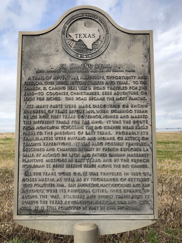
El Camino Real
Also known as Old San Antonio Road and Old Spanish Trail
A trail of adventure, hardships, opportunity and freedom, over which history stalked into Texas. To the Spanish, El Camino Real was a road traveled for the king – to colonize, Christianize, seek adventure or look for riches. This road became the most famous.
Its many parts were made, discovered or known hundreds of years before 1691, when Domingo Teran de los Rios, first Texas governor, joined and marked the different trails for the king. It was the route from Monclova (crossing the Rio Grande near Eagle Pass) to the missions of east Texas. Probably its trailblazers were buffalos and Indians, or Aztecs on trading expeditions. It was also probably traveled, described and changed in part by French explorer La Salle; by Alonso de Leon and Father Damian Massanet planting missions in east Texas; and by the French nobleman St. Denis seeking trade along the Rio Grande.
As the years wore on, it was traveled in 1820 by Moses Austin, as well as by thousands of settlers who followed him. San Augustine, Nacogdoches and San Antonio were its principal cities; inns sprang up along the way. Soldiers and supply trains used it during the Texas Revolution, Mexican War and Civil War. It is still followed in part by this highway.
Incise in base: Early Travel, Communication and Transportation Series
Erected by Moody Foundation, 1968
Erected 1968 by State Historical Survey Committee. (Marker Number 10908.)
Topics and series. This historical marker is listed in these topic lists: Colonial Era • Roads & Vehicles. In addition, it is included in the El Camino Real de los Tejas National Historic Trail series list. A significant historical year for this entry is 1691.
Location. 30° 45.345′ N, 96° 27.064′ W. Marker is near Benchley, Texas, in Robertson County. Marker is on State Highway OSR, 0.7 miles east of State Highway 6, on the right when traveling west. Touch for map. Marker is in this post office area: Bryan TX 77807, United States of America. Touch for directions.
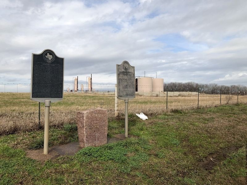
Other nearby markers. At least 8 other markers are within 7 miles of this marker, measured as the crow flies. Staggers Point (here, next to this marker); Kings Highway Camino Real — Old San Antonio Road (here, next to this marker); a different marker also named Kings Highway Camino Real — Old San Antonio Road (approx. 4.3 miles away); a different marker also named Kings Highway Camino Real — Old San Antonio Road (approx. 5 miles away); Mount Calvary Cemetery (approx. 7 miles away); Bryan City Cemetery (approx. 7 miles away); Isom Palmer (approx. 7 miles away); Charles Eric Jenkins (approx. 7 miles away). Touch for a list and map of all markers in Benchley.
Also see . . . Old San Antonio Road - The Handbook of Texas Online
. Texas State Historical Association (TSHA) (Submitted on January 29, 2019, by Brian Anderson of Humble, Texas.)

Photographed By Brian Anderson, January 26, 2019
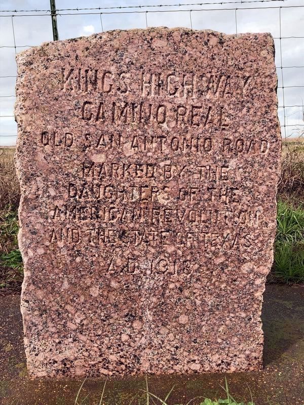
3. Kings Highway/Camino Real Marker
Camino Real
Old San Antonio Road
Marked by the
Daughters of the
American Revolution
and the State of Texas
A.D. 1918
Approximately 128 identical markers were placed, at roughly 5 mile intervals, by the DAR in 1918 throughout Texas to mark the route of the historic highway.
Credits. This page was last revised on November 28, 2020. It was originally submitted on January 29, 2019, by Brian Anderson of Humble, Texas. This page has been viewed 324 times since then and 44 times this year. Photos: 1, 2, 3. submitted on January 29, 2019, by Brian Anderson of Humble, Texas.

