Baltic in Holmes County, Ohio — The American Midwest (Great Lakes)
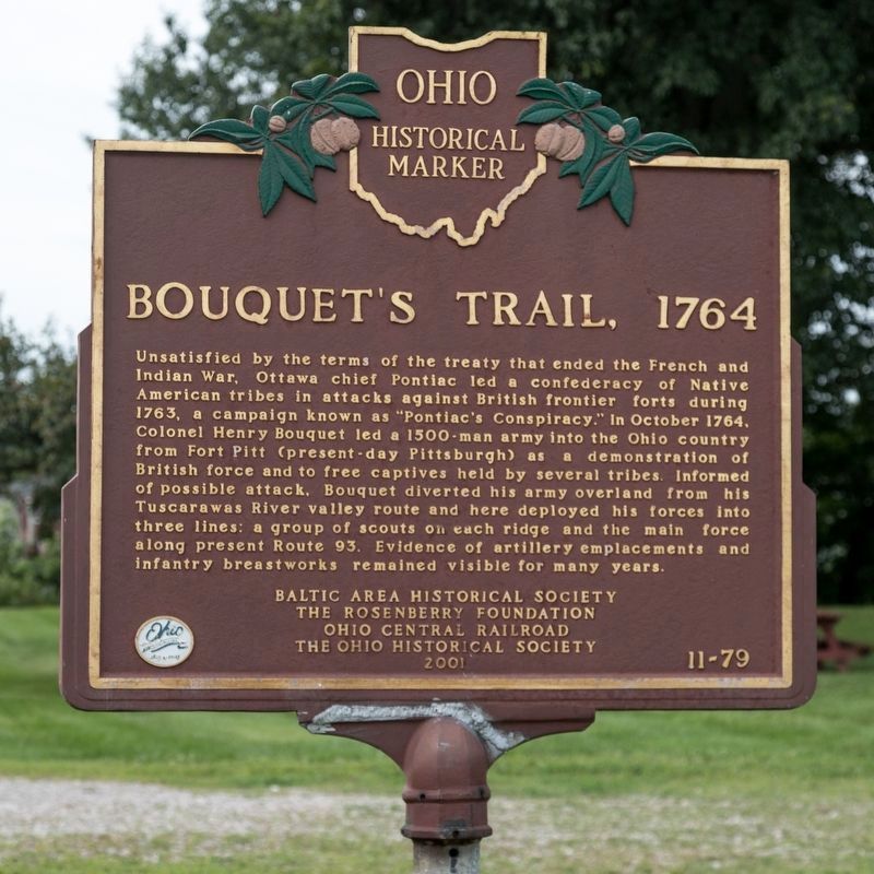
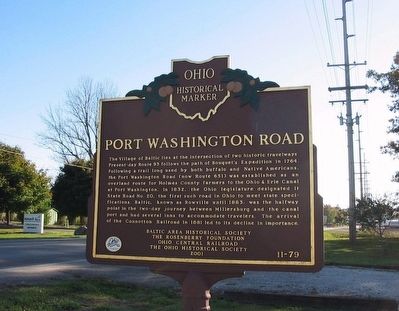
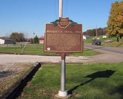
Bouquet’s Trail, 1764 / Port Washington Road
Port Washington Road. The Village of Baltic lies at the intersection of two historic travelways. Present-day Route 93 follows the path of Bouquet’s Expedition in 1764. Following a trail long used by both buffalo and Native Americans, the Port Washington Road (now Route 651) was established as an overland route for Holmes County farmers to the Ohio & Erie Canal at Port Washington. In 1832, the Ohio legislature designated it State Road No. 20, the first such road in Ohio to meet state specifications. Baltic, known as Rowville until 1883, was the halfway point in the two-day journey between Millersburg and the canal port and had several inns to accommodate travelers. The arrival of the Connotton Railroad in 1881 led to its decline in importance.
Erected 2001 by Baltic Area Historical Society, The Rosenberry Foundation, Ohio Central Railroad, The Ohio Historical Society. (Marker Number 11-79.)
Topics and series. This historical marker is listed in these topic lists: Heroes • Military • Native Americans. In addition, it is included in the Ohio Historical Society / The Ohio History Connection series list. A significant historical month for this entry is October 1764.
Location. 40° 26.888′ N, 81° 41.925′ W. Marker is in Baltic, Ohio, in Holmes County. Marker is on North Ray Street (Ohio Route 93) north of Ohio Route 651, on the left when traveling north. Touch for map. Marker is in this post office area: Baltic OH 43804, United States of America. Touch for directions.
Other nearby markers. At least 8 other markers are within 5 miles of this marker, measured as the crow flies. Colonel Bouquet's Trail and The Port Washington Road (within shouting distance of this marker); Baltic (about 300 feet away, measured in a direct line); Giant Cuckoo Clock (approx. 4.9 miles away); Tom F. Miller (approx. 4.9 miles away); Milton Blickensderfer (approx. 4.9 miles away); Lt. Gen. Donald L. Putt, U.S.A.F. (approx. 4.9 miles away); The Putt Memorial (approx. 4.9 miles away); History of Shanesville (approx. 5 miles away). Touch for a list and map of all markers in Baltic.
More about this marker. Interestingly, the marker’s county number (-79) indicates a marker intended to be placed within Tuscarawas County, according to the Ohio Historical Society. This marker isinside Holmes County, about one quarter mile north of the Tuscarawas County line.
Additional keywords. Pontiac's Rebellion
Credits. This page was last revised on November 13, 2019. It was originally submitted on November 4, 2007, by Carl Breth of Willoughby Hills, Ohio. This page has been viewed 3,261 times since then and 64 times this year. Last updated on November 16, 2008, by Donald E Scheetz of Baltic, Ohio. Photos: 1. submitted on November 13, 2019, by J. J. Prats of Powell, Ohio. 2. submitted on November 7, 2007, by Carl Breth of Willoughby Hills, Ohio. 3. submitted on November 4, 2007, by Carl Breth of Willoughby Hills, Ohio. • Craig Swain was the editor who published this page.


