Barre in Washington County, Vermont — The American Northeast (New England)
Currier Park
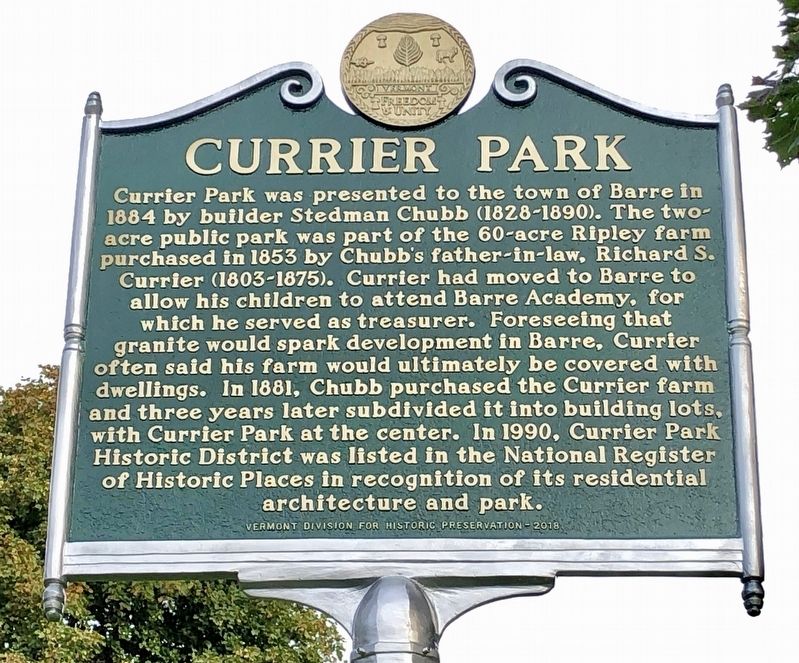
Currier Park was presented to the town of Barre in 1884 by builder Stedman Chubb (1828-1890). The two-acre public park was part of the 60-acre Ripley farm purchased in 1853 by Chubb’s father-in-law, Richard S. Currier (1803-1875). Currier had moved to Barre to allow his children to attend Barre Academy, for which he served as treasurer. Foreseeing that granite would spark development in Barre, Currier often said his farm would ultimately be covered with dwellings. In 1881, Chubb purchased the Currier farm and three years later subdivided it into building lots, with Currier Park at the center. In 1990, Currier Park Historic District was listed in the National Register of Historic Places in recognition of its residential architecture and park.
Erected 2019 by Vermont Division for Historic Preservation.
Topics. This historical marker is listed in these topic lists: Architecture • Parks & Recreational Areas • Settlements & Settlers. A significant historical year for this entry is 1884.
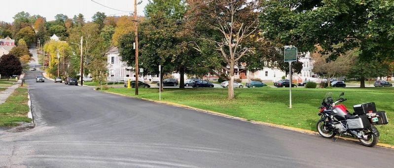
Location. 44° 11.821′ N, 72° 29.894′ W. Marker is in Barre, Vermont, in Washington County. Marker is at the intersection of Park Street and Academy Street, on the right when traveling north on Park Street. Touch for map. Marker is at or near this postal address: 3 Park Street, Barre VT 05641, United States of America. Touch for directions.
Other nearby markers. At least 8 other markers are within 6 miles of this marker, measured as the crow flies. First Boy Scout Troop in America (approx. 0.3 miles away); In the late 1950’s Rock of Ages experimented with making lanes out of granite... (approx. 2.9 miles away); Historic Millstone Hill (approx. 3.3 miles away); Railroad Turntable, circa 1907 (approx. 5.4 miles away); The Arthur Tandy (approx. 5½ miles away); Thomas Davenport (approx. 5.6 miles away); Davenport Birthplace (approx. 5.6 miles away); Main Street Bridge & F.W. Bailey Mill, Circa 1920 (approx. 5.6 miles away).
Credits. This page was last revised on October 23, 2019. It was originally submitted on October 17, 2019, by Dennis Gilkenson of Saxtons River, Vermont. This page has been viewed 152 times since then and 16 times this year. Photos: 1, 2, 3. submitted on October 17, 2019, by Dennis Gilkenson of Saxtons River, Vermont. • Michael Herrick was the editor who published this page.


