Mountain Rest in Oconee County, South Carolina — The American South (South Atlantic)
Andrew Pickens Ranger District / Oconee County
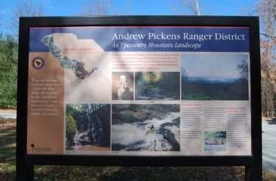
Andrew Pickens Ranger District Side
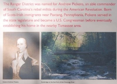
The Ranger District was named for Andrew Pickens, an able commander of South Carolina's rebel militia during the American Revolution. Born of Scots-Irish immigrants near Paxtang, Pennsylvania, Pickens served in the state legislature and became a U.S. Congressman before eventually establishing his home in the nearby Tamassee area.
The District's Roots
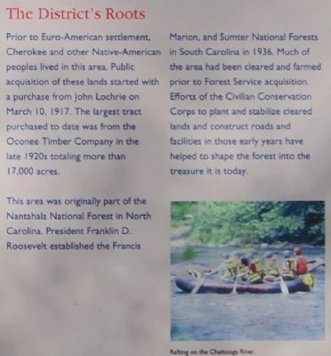
Prior to Euro-America settlement, Cherokee and other Native-American peoples lived in this area. Public acquisition of these lands started with a purchase from John Lochrie on march 10, 1917. The largest tract purchased to date was from the Oconee Timber Company in the late 1920s totaling more than 17,000 acres.
This area was originally part of the Nantahala National Forest in North Carolina. President Franklin D. Roosevelt established the Francis Marion and Sumter National Forests in South Carolina in 1936. Much of the area had been cleared and farmed prior to Forest Service acquisition. efforts of the Civilian Conservation Corps to plant and stabilize cleared lands and construct roads and facilities in those early years have helped to shape the forest into the treasure it is today.
Linking the Future to the Past
Current management by the Forest Service emphasizes the restoration and maintenance of forest ecosystems and processes that existed in these foothills of the Blue Ridge Mountains prior to European settlement. Efforts include management for plant and animal species that have become threatened or in danger of extinction due to loss of native habitats. You're invited to step inside or to call the U.S. Forest Service at (864) 638-9568 to ask how you can help us fulfill our mission of "Caring for the Land and Serving People" here on the Andrew Pickens Ranger District.
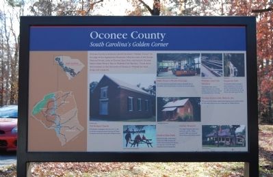
Oconee County Side
Oconee County is situated in South Carolina's "Golden Corner" on the edge of the Appalachian Mountains. Hike the trails of the Sumter National Forest, camp in Oconee State Park, visit historic Oconee Station State Historic Site or Walhalla Fish Hatchery. Travel down the mountain to visit the towns of Seneca or Walhalla for food, shops, and museums.
Erected by South Carolina Heritage Corridor.
Topics and series. This historical marker is listed in these topic lists: Agriculture • Colonial Era • Environment • Horticulture & Forestry • Native Americans • Patriots & Patriotism • Settlements & Settlers • War, US Revolutionary. In addition, it is included in the Civilian Conservation Corps (CCC), and the South Carolina Heritage Corridor series lists. A significant historical month for this entry is March 1894.
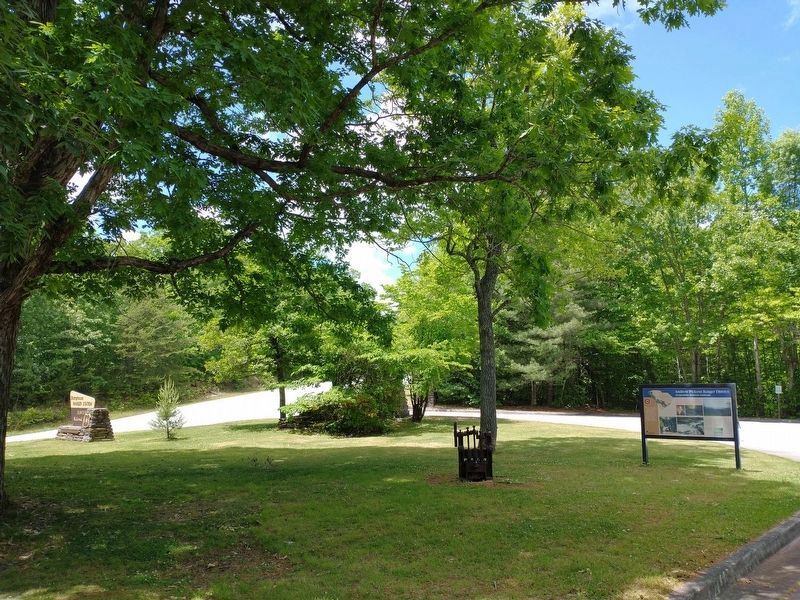
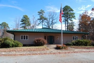
Location. 34° 48.583′ N, 83° 7.673′ W. Marker is in Mountain Rest, South Carolina, in Oconee County. Marker is on Andrew Pickens Circle, on the right when traveling north. Marker is located on the west side of the Stumphouse Ranger's Station. Touch for map. Marker is at or near this postal address: 112 Andrew Pickens Circle, Mountain Rest SC 29664, United States of America. Touch for directions.
Other nearby markers. At least 10 other markers are within 4 miles of this marker, measured as the crow flies. Stumphouse Tunnel (approx. ¼ mile away); Stumphouse Mountain Tunnel (approx. ¼ mile away); Issaqueena Falls (approx. 0.4 miles away); South Carolina National Heritage Corridor (approx. 0.4 miles away); a different marker also named Issaqueena Falls (approx. 0.4 miles away); Mountain Rest School / Hillbilly Day (approx. 2.3 miles away); Chauga Town
(approx. 3.3 miles away); The Oconee Waterwheel (approx. 4 miles away); The Civilian Conservation Corps (approx. 4 miles away); Civilian Conservation Corps Monument (approx. 4 miles away). Touch for a list and map of all markers in Mountain Rest.
Also see . . .
1. Andrew Pickens Ranger District. The Andrew Pickens District is home to the Wild and Scenic Chattooga River, 15 waterfalls, Ellicott Rock Wilderness, and 120 miles of trail. (Submitted on December 7, 2008, by Brian Scott of Anderson, South Carolina.)
2. Sumter National Forest. The Sumter National Forest is one of two forests in South Carolina that are managed together by the United States Forest Service, the other being the Francis Marion National Forest. (Submitted on December 7, 2008, by Brian Scott of Anderson, South Carolina.)
3. Francis Marion National Forest. The Francis Marion National Forest is located north of Charleston, South Carolina. (Submitted on December 7, 2008, by Brian Scott of Anderson, South Carolina.)
4. Andrew Pickens (congressman). Andrew Pickens (September 13, 1739 – August 11, 1817) was a militia leader in the American Revolution and a member of the United States House
of Representatives from South Carolina. (Submitted on December 7, 2008, by Brian Scott of Anderson, South Carolina.)
5. Welcome to Oconee County, South Carolina. (Submitted on December 7, 2008, by Brian Scott of Anderson, South Carolina.)
6. Oconee County, South Carolina. Oconee County is the westernmost county of South Carolina, a U.S. state. (Submitted on December 7, 2008, by Brian Scott of Anderson, South Carolina.)
Credits. This page was last revised on May 20, 2022. It was originally submitted on December 7, 2008, by Brian Scott of Anderson, South Carolina. This page has been viewed 2,033 times since then and 23 times this year. Photos: 1, 2, 3, 4, 5, 6. submitted on December 7, 2008, by Brian Scott of Anderson, South Carolina. 7. submitted on May 20, 2022, by Tom Bosse of Jefferson City, Tennessee. 8. submitted on December 7, 2008, by Brian Scott of Anderson, South Carolina.
