Fort Edward in Washington County, New York — The American Northeast (Mid-Atlantic)
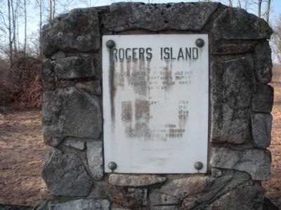
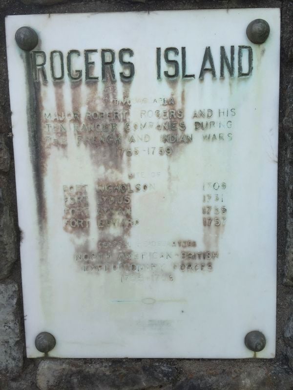
Rogers Island
Inscription.
Major Robert Rogers and his
ten Ranger Companies during
the French and Indian Wars
1755 - 1759
Site of
Fort Nicholson 1709
Fort Lydius 1731
Fort Lyman 1755
Fort Edward 1757
General Headquarters
North American - British
Expeditionary Forces
1755 - 1759
This plaque presented by
Rogers Island
Historical Association
July 12, 1964
Erected 1964 by Rogers Island Historical Association.
Topics. This historical marker is listed in this topic list: War, French and Indian. A significant historical month for this entry is July 1798.
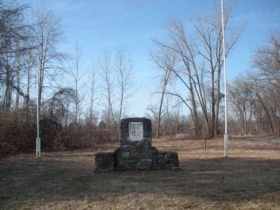
Location. 43° 15.767′ N, 73° 35.167′ W. Marker is in Fort Edward, New York, in Washington County. Marker is on Rogers Island Road, 0.3 miles south of New York State Highway 197, on the right when traveling south. Touch for map. Marker is in this post office area: Fort Edward NY 12828, United States of America. Touch for directions.
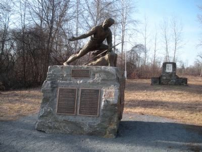
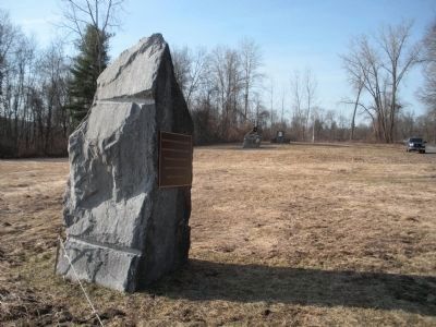
Other nearby markers. At least 8 other markers are within walking distance of this marker. Progenitors of Independence (here, next to this marker); Major Robert Rogers (here, next to this marker); Rogers Island -- Fort Edward, NY (about 500 feet away, measured in a direct line); The Island (about 600 feet away); Old Fort Edward (about 700 feet away); Old Moat (approx. 0.2 miles away); The Hudson River at Fort Edward, NY (approx. 0.2 miles away); a different marker also named The Hudson River at Fort Edward, NY (approx. 0.2 miles away). Touch for a list and map of all markers in Fort Edward.
More about this marker. Directions from northbound Interstate 87 (Adirondack Northway), take Exit 17 N on to US Route 9, at 1.2 miles by the Hess Gas Station take a right onto State Route 197 (Reynolds Road). Stay on Route 197 until approximately 100 yard pass the first bridge over the Hudson River (you are now on Rogers Island), the drive-way is on the right, this is 4.5 miles from the turn onto Route 197. Turn right and follow the Road pass Rogers Island Visitors' Center parking lot, the road becomes a dirt road and makes a sharp right hand turn under a D&H Rail Road trestle. Continue on the road, the monument is on the right hand side of the road .3 miles from the turn off Route 197.
Regarding Rogers Island. Major Robert Rogers and his Rules of Ranging are
said to be the foundation of the United States Army Rangers. His life and exploits have been the subject of books and movies.
Credits. This page was last revised on May 23, 2019. It was originally submitted on April 9, 2009, by John Farrell of Lake George, New York. This page has been viewed 1,500 times since then and 25 times this year. Photos: 1, 2, 3, 4. submitted on April 9, 2009, by John Farrell of Lake George, New York. 5. submitted on May 19, 2019, by Steve Stoessel of Niskayuna, New York. • Kevin W. was the editor who published this page.
