North End in Boston in Suffolk County, Massachusetts — The American Northeast (New England)
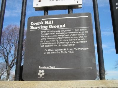
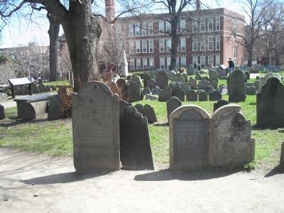
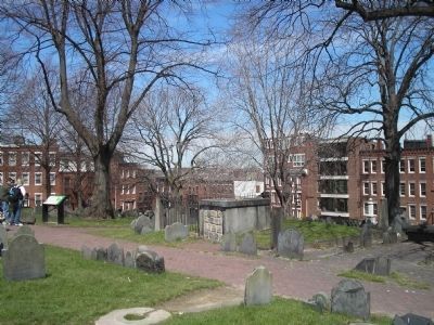
Copp’s Hill Burying Ground
Freedom Trail
Dr. Oliver Wendell Holmes, the Professor at the Breakfast Table, 1859.
Topics. This historical marker is listed in this topic list: Cemeteries & Burial Sites. A significant historical year for this entry is 1859.
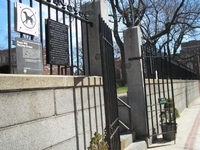
Location. 42° 22.029′ N, 71° 3.369′ W. Marker is in Boston, Massachusetts, in Suffolk County. It is in North End. Marker is at the intersection of Hull Street and Hull St Pl, on the left when traveling east on Hull Street. Touch for map. Marker is in this post office area: Boston MA 02113, United States of America. Touch for directions.
Other nearby markers. At least 8 other markers are within walking distance of this marker. Gravestone Art: Skulls, Wings, and Other Symbols (here, next to this marker); a different marker also named Copp's Hill Burying Ground (a few steps from this marker); Welcome to Copp’s Hill Burying Ground (a few steps from this marker); Copp’s Hill and the American Revolution (within shouting distance of this marker); From Colonial Burying Ground to Victorian Park (within shouting distance of this marker); Unusual Gravestones (within shouting distance of this marker); Tombs and Monuments (within shouting distance of this marker); Seventeenth Century Copp’s Hill (within shouting distance of this marker). Touch for a list and map of all markers in Boston.
Related markers. Click here for a list of markers that are related to this marker. Take a tour of the markers found in Copp’s Hill Burying Ground.
Also see . . . Copp's Hill Burying Ground. Details of the Freedom Trail from the City of Boston website. (Submitted on April 19, 2009, by Bill Coughlin of Woodland Park, New Jersey.)
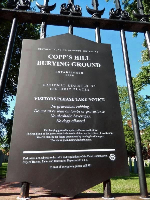
Photographed By Cosmos Mariner, June 21, 2017
5. Copp’s Hill Burying Ground, National Register of Historic Places
Copp’s Hill
Burying Ground
Established
1659
National Register of Historic Places
Visitors please take notice
No gravestone rubbing.
Do not sit or lean on tombs or gravestones.
No alcoholic beverages
No dogs allowed.
This burying ground is a place of honor and history.
The condition of the gravestones is the result of time and the effects of weathering.
Preserve this site for future generations by treating it with respect.
This site is open during daylight hours.
Credits. This page was last revised on January 30, 2023. It was originally submitted on April 19, 2009, by Bill Coughlin of Woodland Park, New Jersey. This page has been viewed 1,590 times since then and 37 times this year. Photos: 1, 2, 3, 4. submitted on April 19, 2009, by Bill Coughlin of Woodland Park, New Jersey. 5. submitted on March 24, 2018, by Cosmos Mariner of Cape Canaveral, Florida.
