Batesburg-Leesville in Lexington County, South Carolina — The American South (South Atlantic)
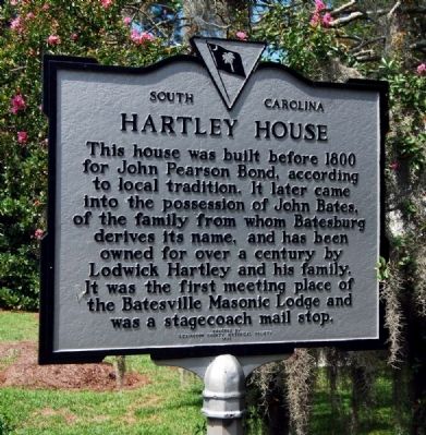
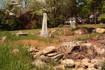
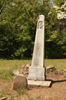
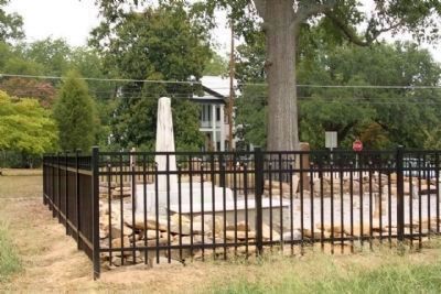
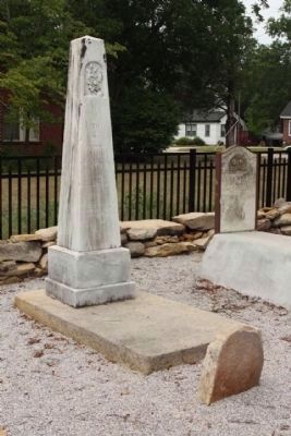
Hartley House
Erected 1970 by Lexington County Historical Society. (Marker Number 32-10.)
Topics. This historical marker is listed in these topic lists: Communications • Fraternal or Sororal Organizations • Roads & Vehicles • Settlements & Settlers. A significant historical year for this entry is 1800.
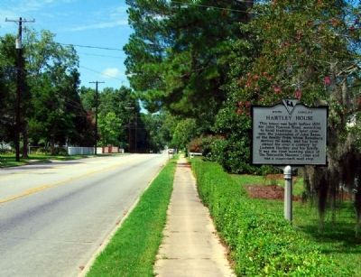
Location. 33° 54.85′ N, 81° 31.05′ W. Marker is in Batesburg-Leesville, South Carolina, in Lexington County. Marker is on East Columbia Avenue (U.S. 1) west of Rose Street, on the left when traveling east. Touch for map. Marker is at or near this postal address: 305 West Columbia Avenue, Batesburg SC 29006, United States of America. Touch for directions.
Other nearby markers. At least 10 other markers are within 8 miles of this marker, measured as the crow flies. Lee's Tavern Site (approx. 0.6 miles away); Old Batesburg-Leesville High School (approx. ¾ mile away); Site of the "Swamp Rabbit" Bridge / The Swamp Rabbit (approx. one mile away); Blinding of Isaac Woodard (approx. 1.9 miles away); Batesburg Institute (approx. 2 miles away); Moorefield Memorial Highway (approx. 4.1 miles away); Pinarea / Quattlebaum Sawmill, Flour Mill, and Rifle Factory (approx. 6 miles away); Revolutionary Skirmish Near Juniper Springs (approx. 7.1 miles away); Jacob Odom House (approx. 7.2 miles away); Delmar School (approx. 7.3 miles away). Touch for a list and map of all markers in Batesburg-Leesville.
Also see . . . Welcome to Batesburg-Leesville, South Carolina. Official website of Batesburg-Leesville, SC. (Submitted on August 23, 2009, by Brian Scott of Anderson, South Carolina.)
Additional commentary.
1. Bond-Bates-Hartley House
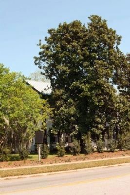
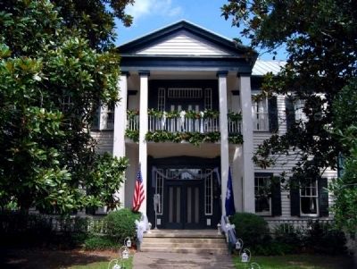
The Bond-Bases-Hartley House is a two and one-half story weatherboard residence, with a central two-story portico, a closed brick foundation, and a gable roof. The house has two interior brick chimneys. The portico is supported by two square wooden pillars set outside a pair of small pillars. The central doorways on the first and second floors have vertically panned transoms and sidelights. The window sash are six-over-six. the house was given its present form ca. 1830; it may represent the extensive rebuilding of an earlier house.
Significance
According to local tradition, the Bond-Bates-Hartley House served as a stagecoach stop and post office, prior to the founding of the town of Batesburg. Wade Hampton's "Red Shirts" reportedly held political meetings at this house. The House also served as Batesburg's first masonic hall. architecturally the house is a typical upcountry farmhouse, with a portico adapted from the Greek Revival style. It is believed to be the oldest house in Batesburg. (Source: National Register nomination form)
— Submitted August 23, 2009, by Brian Scott of Anderson, South Carolina.
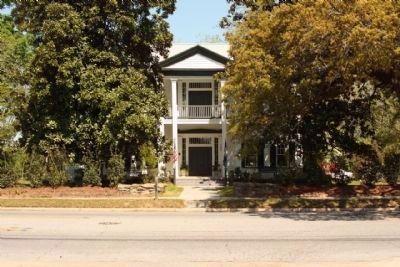
Photographed By Mike Stroud, April 13, 2010
5. Hartley House ,National Register of Historic Places:
Hartley House (added 1982 - - #82003878)
♦ Also known as Bond-Bates-Hartley House
♦ 305 E. Columbia Ave. , Batesburg
♦ Historic Significance: Event
♦ Area of Significance: Agriculture, Social History
♦ Period of Significance: 1825-1849
♦ Owner: Private
♦ Historic Function: Government, Social, Transportation
♦ Historic Sub-function: Meeting Hall, Post Office, Road-Related
♦ Current Function: Agriculture/Subsistence
Credits. This page was last revised on April 18, 2021. It was originally submitted on August 23, 2009, by Brian Scott of Anderson, South Carolina. This page has been viewed 3,380 times since then and 83 times this year. Photos: 1. submitted on August 23, 2009, by Brian Scott of Anderson, South Carolina. 2. submitted on July 28, 2011, by Mike Stroud of Bluffton, South Carolina. 3, 4. submitted on August 23, 2009, by Brian Scott of Anderson, South Carolina. 5, 6, 7. submitted on July 28, 2011, by Mike Stroud of Bluffton, South Carolina. 8, 9, 10. submitted on August 12, 2011, by Mike Stroud of Bluffton, South Carolina. 11. submitted on August 23, 2009, by Brian Scott of Anderson, South Carolina.
