Near Stafford in Stafford County, Virginia — The American South (Mid-Atlantic)
Aquia Landing
The Railroad
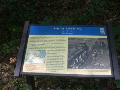
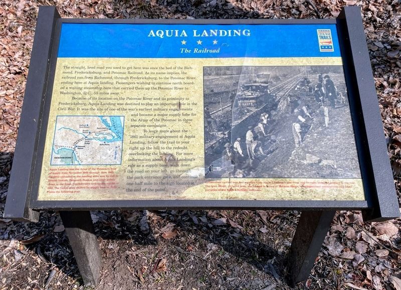
Because of its location on the Potomac River and its proximity to Fredericksburg, Aquia Landing was destined to play an important role in the Civil War. It was the site of one of the war’s earliest military engagements and became a major supply base for the Army of the Potomac in three separate campaigns.
To learn more about the 1861 military engagement at Aquia Landing, follow the trail to your right up the hill to the redoubt overlooking the landing. For more information about Aquia Landing’s role as a supply base, walk down the road on your left, go through the park entrance gate, and continue one-half mile to the sign located at the end of the point.
Sidebar under the left picture: Aquia Landing was the Army of the Potomac’s base of supply from November 1862 through June 1863. Supplies unloaded at the landing were sent by rail to Brooke Station, Falmouth Station and other points closer to the front. Confederates tore up the tracks in 1863. The Union army shifted its supply base to Belle Plains the following year.
Sidebar under the right picture: Locomotives carried men and supplies from Aquia Landing to the front and brought wounded soldiers to the rear. The Genl. Haupt, pictured here, was named in honor of Herman Haupt, who supervised construction and transportation of the Union’s military railroads.
Erected by Civil War Trails.
Topics and series. This historical marker is listed in these topic lists: Military • Notable Events • Railroads & Streetcars • War, US Civil. In addition, it is included in the Virginia Civil War Trails series list. A significant historical date for this entry is June 23, 1863.
Location. 38° 22.936′ N, 77° 19.251′ W. Marker is near Stafford, Virginia, in Stafford County. Marker is on Brooke Road (County Route 608), on the right when traveling east. Touch for map. Marker is at or near this postal address: 2846 Brooke Rd, Stafford VA 22554, United States of America. Touch for directions.
Other nearby markers. At least 8 other markers are within walking distance of this marker. Mason's Homestead (here, next to this marker); History of the Patawomeck Indians (about 300 feet away, measured in a direct line); a different marker also named Aquia Landing (about 400 feet away); a different marker also named Aquia Landing (about 400 feet away); Battle of Aquia Landing (about 500 feet away); Patawomeck Tribe Village (approx. 0.4 miles away); Steamships, Stages and Slave Trade (approx. 0.6 miles away); Early Escape Route (approx. 0.6 miles away). Touch for a list and map of all markers in Stafford.
Also see . . . Action at Acquia (sic) Creek - June 1, 1861. In the eyes of the press, Union flotillas were more successful than history records. (Submitted on August 29, 2007, by Kevin W. of Stafford, Virginia.)
Credits. This page was last revised on June 22, 2022. It was originally submitted on August 29, 2007, by Kevin W. of Stafford, Virginia. This page has been viewed 2,547 times since then and 75 times this year. Photos: 1. submitted on August 29, 2007, by Kevin W. of Stafford, Virginia. 2. submitted on May 23, 2022, by Shane Oliver of Richmond, Virginia. 3, 4, 5. submitted on August 29, 2007, by Kevin W. of Stafford, Virginia. • J. J. Prats was the editor who published this page.
