Capitola in Santa Cruz County, California — The American West (Pacific Coastal)
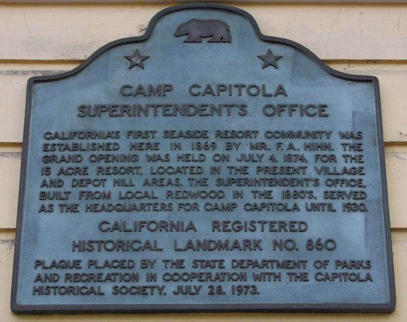
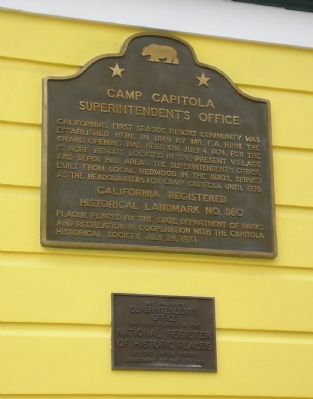
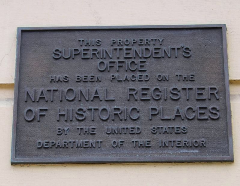
Camp Capitola Superintendentís Office
Erected 1973 by State Department of Parks & Recreation, Capitola Historical Society. (Marker Number 860.)
Topics and series. This historical marker is listed in this topic list: Parks & Recreational Areas. In addition, it is included in the California Historical Landmarks series list. A significant historical month for this entry is July 1885.
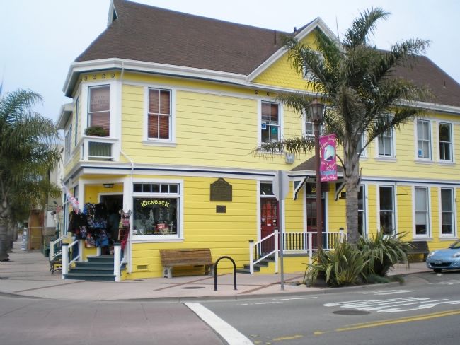
Location. 36° 58.374′ N, 121° 57.036′ W. Marker is in Capitola, California, in Santa Cruz County. Marker is at the intersection of Monterey Avenue and Capitola Avenue, on the right when traveling south on Monterey Avenue. Plaque is on south wall of building facing Monterey Ave. Touch for map. Marker is at or near this postal address: 201 Monterey Ave, Capitola CA 95010, United States of America. Touch for directions.
Other nearby markers. At least 8 other markers are within 2 miles of this marker, measured as the crow flies. First Capitola City Hall (within shouting distance of this marker); Historic Lawn Way Cottages (within shouting distance of this marker); Capitolaís Natural Riches (about 300 feet away, measured in a direct line); Venetian Court (approx. 0.2 miles away); China Beach (approx. ĺ mile away); Charlotte (Charlie) Parkhurst (approx. 1.1 miles away); The Butterfield Stage stopped here. (approx. 1.3 miles away); Tower House (approx. 1.8 miles away). Touch for a list and map of all markers in Capitola.
Credits. This page was last revised on April 19, 2022. It was originally submitted on September 7, 2007, by Mathew H. Kohnen of San Jose, California. This page has been viewed 1,745 times since then and 15 times this year. Photos: 1. submitted on April 19, 2022, by Joseph Alvarado of Livermore, California. 2, 3. submitted on September 7, 2007, by Mathew H. Kohnen of San Jose, California. 4. submitted on April 19, 2022, by Joseph Alvarado of Livermore, California. • J. J. Prats was the editor who published this page.


