Near Gloucester in Gloucester County, Virginia — The American South (Mid-Atlantic)
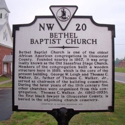
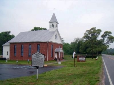
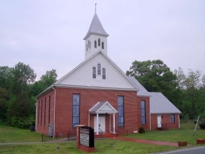
Bethel Baptist Church
Erected 2001 by Department of Historic Reources. (Marker Number NW-20.)
Topics and series. This historical marker is listed in these topic lists: African Americans • Churches & Religion. In addition, it is included in the Virginia Department of Historic Resources (DHR) series list. A significant historical year for this entry is 1867.
Location. 37° 24.606′ N, 76° 36.489′ W. Marker is near Gloucester, Virginia, in Gloucester County. Marker is on Hickory Fork Road (Virginia Route 614) 0.2 miles west of Ark Road (Route 606), on the left when traveling west. Touch for map. Marker is in this post office area: Gloucester VA 23061, United States of America. Touch for directions.
Other nearby markers. At least 8 other markers are within 4 miles of this marker, measured as the crow flies. Walter Reed Birthplace (approx. 1.9 miles away); Gloucester Agricultural and Industrial School (approx. 2.1 miles away); Cappahosic (approx. 2.4 miles away); Marlfield (approx. 3 miles away); Poplar Spring Church (approx. 3.7 miles away); a different marker also named Poplar Spring Church (approx. 3.7 miles away); Indian Princess Pocahontas (approx. 3.9 miles away); a different marker also named Cappahosic (approx. 3.9 miles away). Touch for a list and map of all markers in Gloucester.
Also see . . . Bethel Baptist Church. (Submitted on April 25, 2010, by Bernard Fisher of Richmond, Virginia.)
Credits. This page was last revised on June 16, 2016. It was originally submitted on April 25, 2010, by Bernard Fisher of Richmond, Virginia. This page has been viewed 1,051 times since then and 43 times this year. Photos: 1, 2, 3. submitted on April 25, 2010, by Bernard Fisher of Richmond, Virginia.


