New Albany in Floyd County, Indiana — The American Midwest (Great Lakes)
A Gateway to Freedom
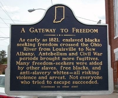
Inscription.
As early as 1821, enslaved blacks seeking freedom crossed the Ohio River from Louisville to New Albany. Antebellum and Civil War periods brought more fugitives. Many freedom-seekers were aided by other slaves, free blacks, and anti-slavery whites -- all risking violence and arrest. Not everyone who tried to escape succeeded.
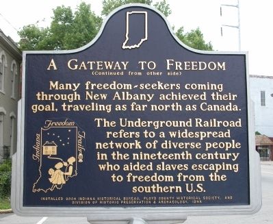
(Reverse Side): Many freedom-seekers coming through New Albany achieved their goal, traveling as far north as Canada. The Underground Railroad refers to a widespread network of diverse people in the nineteenth century who aided slaves escaping to freedom from the southern U.S.
Erected 2004 by The Indiana Historical Bureau, the Floyd County Historical Society, & the Division of Historic Preservation & Archaeology, IDNR. (Marker Number 22.2004.1.)
Topics and series. This historical marker is listed in these topic lists: Abolition & Underground RR • African Americans • War, US Civil. In addition, it is included in the Indiana Historical Bureau Markers series list. A significant historical year for this entry is 1821.
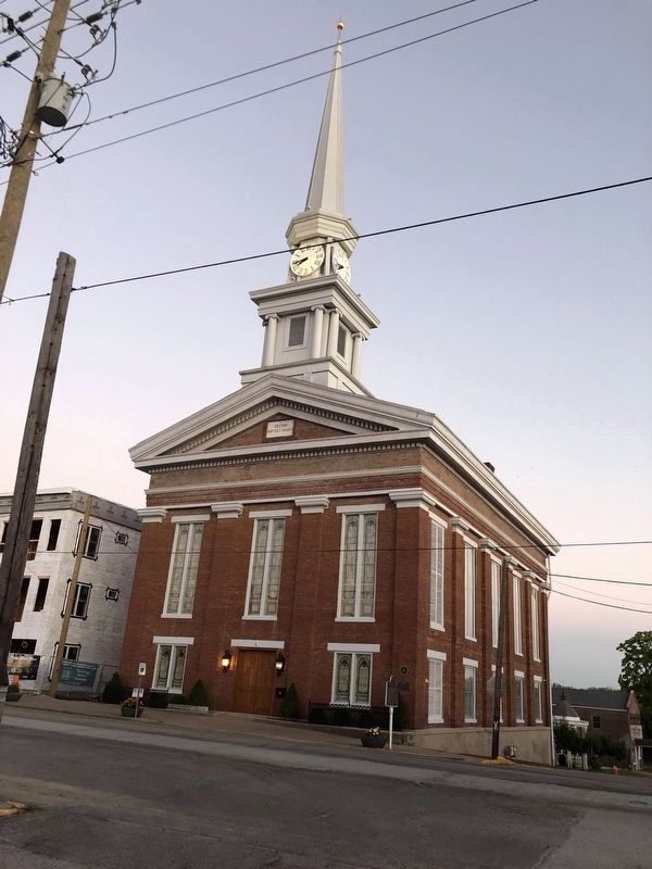
Location. 38° 17.066′ N, 85° 49.183′ W. Marker is in New Albany, Indiana, in Floyd County. Marker is at the intersection of East Main Street and East 3rd Street, on the right when traveling east on East Main Street. Marker is directly in front of the 2nd Street Baptist Church. Touch for map. Marker is in this post office area: New Albany IN 47150, United States of America. Touch for directions.
Other nearby markers. At least 8 other markers are within walking distance of this marker. The Town Clock Church (here, next to this marker); Horseshoe Foundation Gazebo (within shouting distance of this marker); New Albany's First Bank Building (about 300 feet away, measured in a direct line); State Bank of Indiana (about 300 feet away); Windsor Hotel (about 600 feet away); New Albany Downtown Historic District (about 800 feet away); Isaac P. Smith House (approx. 0.2 miles away); Founding of New Albany (approx. 0.2 miles away). Touch for a list and map of all markers in New Albany.
Credits. This page was last revised on October 2, 2022. It was originally submitted on May 18, 2010, by Karl Stelly of Gettysburg, Pennsylvania. This page has been viewed 1,649 times since then and 36 times this year. Photos: 1, 2. submitted on May 18, 2010, by Karl Stelly of Gettysburg, Pennsylvania. 3. submitted on October 2, 2022, by Duane and Tracy Marsteller of Murfreesboro, Tennessee. • Craig Swain was the editor who published this page.


