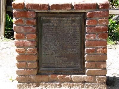
Near Lebec in Kern County, California — The American West (Pacific Coastal)
Camel Trail Terminus
Fort Tejon
Erected 1956 by California Division, United Daughters of the Confederacy.
Topics and series. This historical marker is listed in these topic lists: Forts and Castles • Military • Roads & Vehicles. In addition, it is included in the United Daughters of the Confederacy series list. A significant historical month for this entry is May 1860.
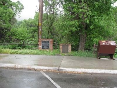
Location. 34° 52.466′ N, 118° 53.564′ W. Marker is near Lebec, California, in Kern County. Marker is on Fort Tejon Road west of Interstate 5. Located at the south end of the parking lot of Fort Tejon State Historic Park. Touch for map. Marker is in this post office area: Lebec CA 93243, United States of America. Touch for directions.
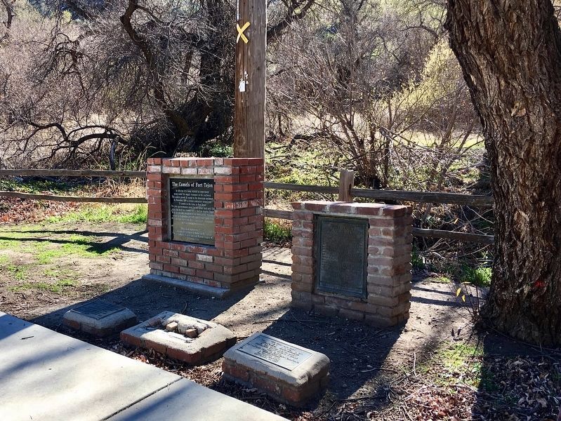
Other nearby markers. At least 8 other markers are within 5 miles of this marker, measured as the crow flies. The Camels of Fort Tejon (here, next to this marker); Peter Lebeck (here, next to this marker); Camel Brigade (here, next to this marker); Fort Tejon (within shouting distance of this marker); Peter Lebec (about 500 feet away, measured in a direct line); Don Pedro Fages (approx. 3.2 miles away); Interstate Highway 5 (approx. 3.6 miles away); El Camino Viejo (approx. 4.8 miles away). Touch for a list and map of all markers in Lebec.
Related markers. Click here for a list of markers that are related to this marker. Related Army Great Western Camel Experiment Markers
Credits. This page was last revised on February 17, 2022. It was originally submitted on May 31, 2008, by Andrew Ruppenstein of Lamorinda, California. This page has been viewed 2,691 times since then and 20 times this year. Last updated on July 9, 2010, by Chris English of Phoenix, Arizona. Photos: 1. submitted on May 30, 2008, by Andrew Ruppenstein of Lamorinda, California. 2. submitted on February 17, 2022, by Craig Baker of Sylmar, California. 3. submitted on May 22, 2015, by Denise Boose of Tehachapi, California. • Syd Whittle was the editor who published this page.


