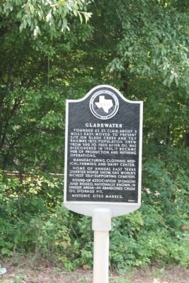
Gladewater
Founded as St. Clair, about 3 miles east. Moved to present site on Glade Creek and T&P Railway, 1872. Population grew from 500 to 7000 after oil was discovered in 1931. It became hub of production and refining operations.
Manufacturing, clothing, medical, farming and dairy center.
Home of annual East Texas Quarter Horse Show. Has world's richest self-supporting cemetery.
Round-Up Association sponsors June rodeo nationally known, in unique arena - an abandoned crude oil storage pit.
Historic sites marked.
Erected 1966 by State Historical Survey Committee. (Marker Number 9960.)
Topics and series. This historical marker is listed in these topic lists: Notable Places • Settlements & Settlers. In addition, it is included in the American Quarter Horse Markers series list. A significant historical year for this entry is 1872.
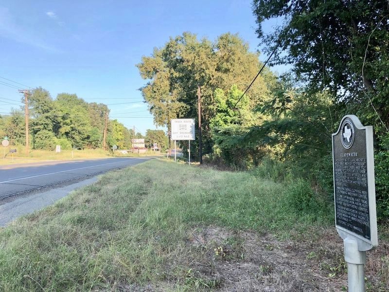
Location. 32° 32.486′ N, 94° 57.416′ W. Marker is in Gladewater, Texas, in Gregg County. Marker is on West Upshur Avenue (U.S. 80) east of North Mustang Drive, on the right when traveling east. Between Avalon and N. Mustang Drives. Touch for map. Marker is at or near this postal address: 1600 West Upshur Avenue, Gladewater TX 75647, United States of America. Touch for directions.
Other nearby markers. At least 8 other markers are within walking distance of this marker. First United Methodist Church of Gladewater (approx. ¾ mile away); Gladewater Post Office
Credits. This page was last revised on November 22, 2020. It was originally submitted on July 23, 2010, by Amanda Hartley of Tyler, Texas. This page has been viewed 1,231 times since then and 23 times this year. Photos: 1. submitted on July 23, 2010, by Amanda Hartley of Tyler, Texas. 2. submitted on September 6, 2019, by Mark Hilton of Montgomery, Alabama. • Bill Pfingsten was the editor who published this page.

