Bartow in Pocahontas County, West Virginia — The American South (Appalachia)
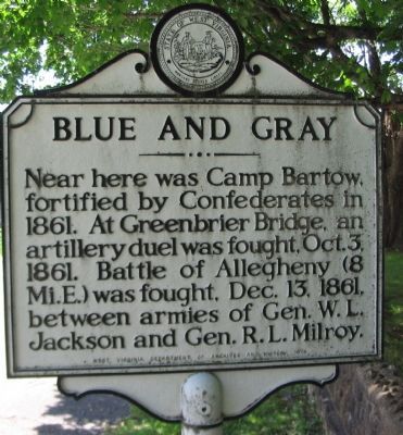
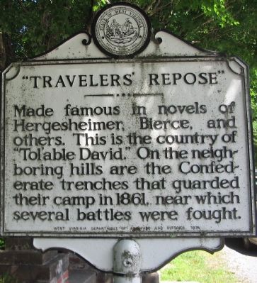
Blue and Gray / “Travelers’ Repose”
Erected 1974 by West Virginia Department of Archives and History.
Topics and series. This historical marker is listed in these topic lists: Arts, Letters, Music • War, US Civil. In addition, it is included in the West Virginia Archives and History series list. A significant historical date for this entry is December 13, 1980.
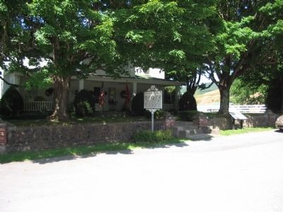
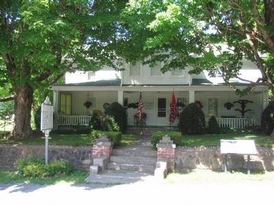
Location. 38° 32.28′ N, 79° 46.411′ W. Marker is in Bartow, West Virginia, in Pocahontas County. Marker is at the intersection of Old Pike Road (County Route 3) and West Virginia Highway 28, on the right when traveling west on Old Pike Road. Touch for map. Marker is in this post office area: Bartow WV 24920, United States of America. Touch for directions.
Other nearby markers. At least 8 other markers are within 6 miles of this marker, measured as the crow flies. Travellers Repose (here, next to this marker); Camp Bartow (within shouting distance of this marker); a different marker also named Camp Bartow (approx. 0.3 miles away); Camp Allegheny (approx. 5.2 miles away); Camp Allegheny 1861-1862 (approx. 5.2 miles away); Cheat Mountain (approx. 5.8 miles away); West Virginia / Virginia (approx. 5.9 miles away); The Great Raid (approx. 5.9 miles away). Touch for a list and map of all markers in Bartow.
Credits. This page was last revised on May 13, 2022. It was originally submitted on August 5, 2010, by Craig Swain of Leesburg, Virginia. This page has been viewed 1,116 times since then and 27 times this year. Photos: 1, 2, 3, 4. submitted on August 5, 2010, by Craig Swain of Leesburg, Virginia.


