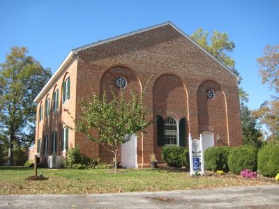
Sunderland in Calvert County, Maryland — The American Northeast (Mid-Atlantic)
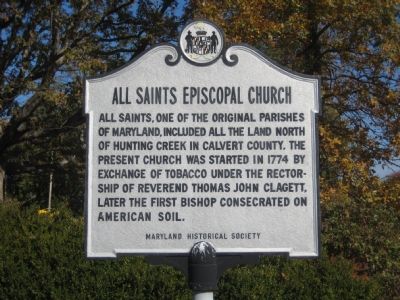
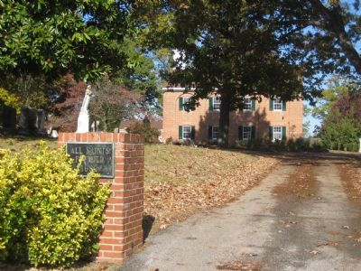
All Saints Episcopal Church
Erected by Maryland Historical Society.
Topics. This historical marker is listed in these topic lists: Churches & Religion • Colonial Era. A significant historical year for this entry is 1774.
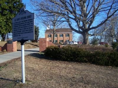
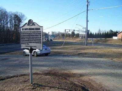
Location. 38° 39.68′ N, 76° 36.416′ W. Marker is in Sunderland, Maryland, in Calvert County. Marker is at the intersection of Solomons Island Road (Maryland Route 2) and Southern Maryland Boulevard (Maryland Route 4), on the right when traveling south on Solomons Island Road. Touch for map. Marker is in this post office area: Sunderland MD 20689, United States of America. Touch for directions.
Other nearby markers. At least 8 other markers are within 4 miles of this marker, measured as the crow flies. The First All Saints Church (approx. 0.2 miles away); Harriet Elizabeth Brown (approx. one mile away); Calvert County (approx. 2.7 miles away); A County in Ruin (approx. 2.8 miles away); Railroad Bed (approx. 3.6 miles away); Forest Edges (approx. 3.8 miles away); Tree Canopy (approx. 3.9 miles away); Watershed (approx. 3.9 miles away). Touch for a list and map of all markers in Sunderland.
Credits. This page was last revised on August 6, 2021. It was originally submitted on November 11, 2007, by F. Robby of Baltimore, Maryland. This page has been viewed 2,168 times since then and 12 times this year. Photos: 1. submitted on November 11, 2007, by F. Robby of Baltimore, Maryland. 2, 3. submitted on March 7, 2010, by Mike Stroud of Bluffton, South Carolina. 4, 5. submitted on November 11, 2007, by F. Robby of Baltimore, Maryland.
