Near Lookout Mountain in Hamilton County, Tennessee — The American South (East South Central)
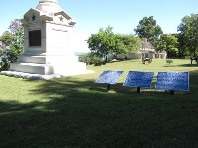
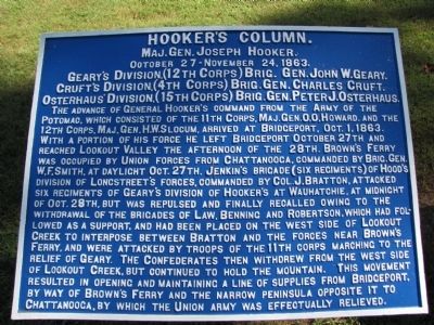
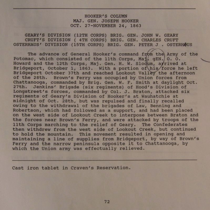
Hooker's Column
Maj. Gen. Joseph Hooker
— October 27 - November 24, 1863 —
Cruft's Division, (4th Corps) Brig. Gen. Charles Cruft.
Osterhaus' Division, (15th Corps) Brig. Gen. Peter J. Osterhaus.
The advance of General Hooker's command from the Army of the Potomac, which consisted of the 11th Corps, Maj. Gen. O.O. Howard, and the 12th Corps, Maj. Gen. H.W. Slocum, arrived at Bridgeport, Oct. 1, 1863. With a portion of this force he left Bridgeport October 27th and reached Lookout Valley the afternoon of the 28th. Brown's Ferry was occupied by Union forces from Chattanooga, commanded by Brig. Gen. W.F. Smith, at daylight Oct. 27th. Jenkin's Brigade (six regiments) of Hood's Division of Longstreet's forces, commanded by Col. J. Bratton, attacked six regiments of Geary's Division of Hooker's at Wauhatchie, at midnight of Oct. 28th, but was repulsed and finally recalled owing to the withdrawal of the brigades of Law, Benning and Robertson, which had followed as a support, and had been placed on the west side of Lookout Creek to interpose between Bratton and the forces near Brown's Ferry, and were attacked by troops of the 11th Corps marching to the relief of Geary. The Confederates then withdrew from the west side of Lookout Creek, but continued to hold the mountain. This movement resulted in opening and maintaining a line of supplies from Bridgeport, by way of Brown's Ferry and the narrow peninsula opposite it to Chattanooga, by which the Union Army was effectually relieved.
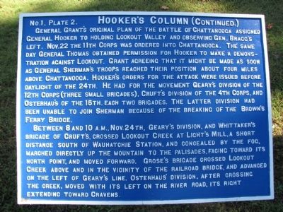
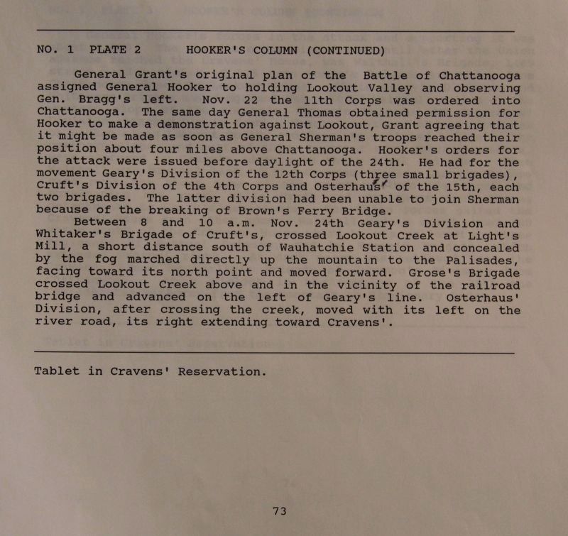
No. 1. Plate 2 Hooker's Column (Continued.)
General Grant's original plan of the Battle of Chattanooga assigned General Hooker to holding Lookout Valley and observing Gen. Bragg's left. Nov. 22 the 11th Corps was ordered into Chattanooga. The same day General Thomas obtained permission for Hooker to make a demonstration against Lookout. Grant agreeing that it might be made as soon as General Sherman's troops reached their position about four miles above Chattanooga. Hooker's orders for the attack were issued before daylight of the 24th. He had for the movement Geary's Division of the 12th Corps (three small brigades), Cruft's Division of the 4th Corps, and Osterhaus's of the 15th, each two brigades. The latter division had been unable to join Sherman because of the breaking of the Brown's Ferry Bridge.
Between 8 and 10 A.M., Nov. 24th, Geary's Division, and Whittaker's Brigade of Cruft's, crossed Lookout Creek at Light's Mill, a short distance south of Wauhatchie Station, and concealed by the fog, marched directly up the mountain to the palisades, facing toward its north point, and moved forward. Grose's Brigade crossed Lookout Creek above and in the vicinity of the railroad bridge, and advanced on the left of Geary's line. Osterhaus's Division, after crossing the creek, moved with its left on the river road, its right extending toward Cravens.
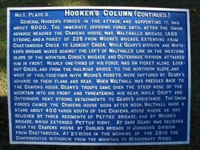
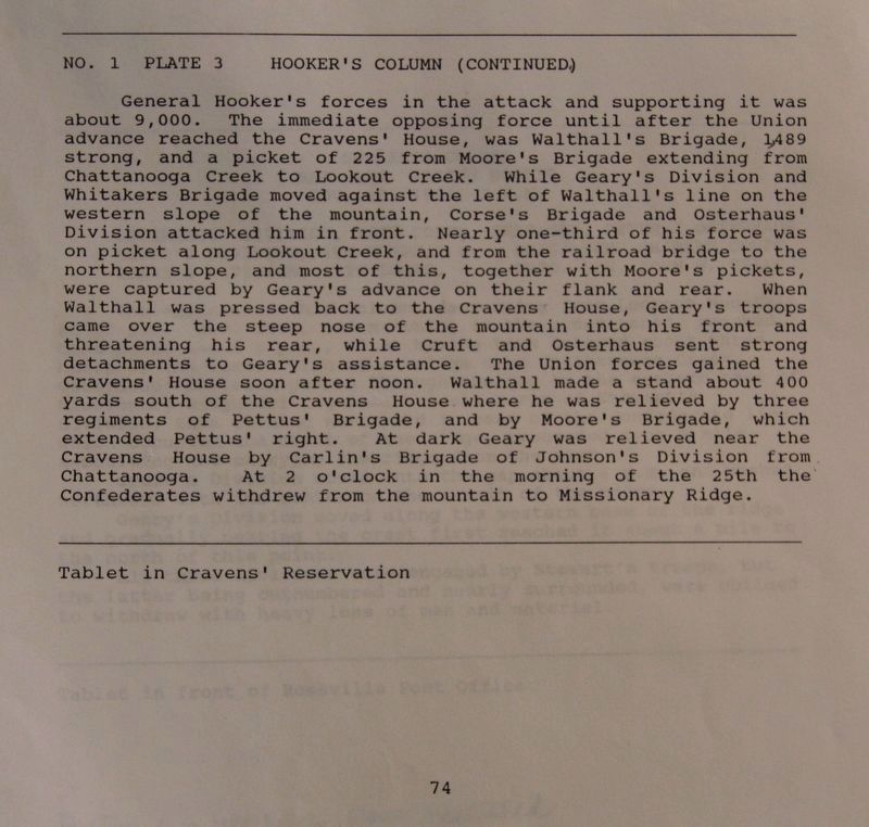
No. 1. Plate 3. Hooker's Column (Continued.)
General Hooker's forces in the attack, and supporting it, was about 9,000. The immediate opposing force until after the Union advance reached the Cravens House, was Walthall's Brigade, 1,489 strong, and a picket of 225 from Moore's Brigade, extending from Chattanooga Creek to Lookout Creek. While Geary's Division and Whitaker's Brigade moved against the left of Walthall's line on the western slope of the mountain, Corse's Brigade and Osterhaus' Division attacked him in front. Nearly on-third of his force was on picket along Lookout Creek, and from the railroad bridge to the northern slope, and most of this, together with Moore's pickets, were captured by Geary's advance on their flank and rear. When Walthall was pressed back to the Cravens House, Geary's troops came over the steep nose of the mountain into his front and threatening his rear, while Cruft and Osterhaus sent strong detachments to Geary's assistance. The Union forces gained the Cravens House soon after noon. Walthall made a stand about 400 yards south of the Cravens, house where he was relieved by three regiments of Pettus' Brigade, and by Moore's Brigade, which extended Pettus' right. At dark Geary was relived near the Cravens House by Carlin's Brigade of Johnson's Division from Chattanooga. At 2 o'clock in the morning of the 25th the Confederates withdrew from the mountain to Missionary Ridge.
Erected 1890 by Chickamauga-Chattanooga Battlefield Board. (Marker Number MT-72-74 .)
Topics and series. This historical marker is listed in this topic list: War, US Civil. In addition, it is included in the Chickamauga and Chattanooga National Military Park, Cravens House Reservation, the Chickamauga and Chattanooga National Military Park: November 24, 1863, and the Former U.S. Presidents: #18 Ulysses S. Grant series lists. A significant historical date for this entry is November 24, 1863.
Location. 35° 0.846′ N, 85° 20.522′ W. Marker is near Lookout Mountain, Tennessee, in Hamilton County. Marker can be reached from Shingle Road, 0.1 miles Military Road. Markers are located on the grounds of Cravens' House, a unit of the Chickamauga-Chattanooga National Military Park. Follow the signs from Lookout Mountain Scenic Highway (TN 148) to reach the area. Touch for map. Marker is in this post office area: Lookout Mountain TN 37350, United States of America. Touch for directions.
Other nearby markers. At least 8 other markers are within walking distance of this marker. New York (here, next to this marker); Ireland's Brigade (a few steps from this marker); Participation of the Artillery (within shouting distance of this marker); Howell's Georgia Battery (within shouting distance of this marker); Cruft's Division (within shouting distance of this marker); Geary's Division (within shouting distance of this marker); 92d Illinois Infantry (within shouting distance of this marker); 75th Illinois Infantry (within shouting distance of this marker). Touch for a list and map of all markers in Lookout Mountain.
Related markers. Click here for a list of markers that are related to this marker. Use this link to see the Division tablets for the units that were under General Hooker's command for this military action.
Credits. This page was last revised on March 15, 2023. It was originally submitted on September 14, 2010, by Lee Hattabaugh of Capshaw, Alabama. This page has been viewed 970 times since then and 41 times this year. Last updated on March 13, 2023, by Diane Klinefelter of McMurray, Pennsylvania. Photos: 1, 2, 3, 4. submitted on September 14, 2010, by Lee Hattabaugh of Capshaw, Alabama. 5, 6, 7. submitted on September 29, 2017, by Dale K. Benington of Toledo, Ohio. • Bill Pfingsten was the editor who published this page.
