Marker Logo HMdb.org THE HISTORICAL
MARKER DATABASE
“Bite-Size Bits of Local, National, and Global History”
Batavia in Genesee County, New York — The American Northeast (Mid-Atlantic)
 

Genesee County


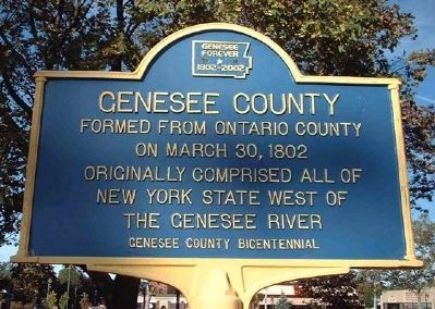
Genesee County Marker image. Click for full size.
Photographed By Patrick Weissend, circa October 2006
1. Genesee County Marker
Inscription.
Formed from Ontario County
on March 30, 1802
Originally comprised all of
New York State west of
the Genesee River

 
Erected 2002 by Genesee County Bicentennial Committee.
 
Topics. This historical marker is listed in this topic list: Political Subdivisions. A significant historical month for this entry is March 1868.
 
Location. 42° 59.855′ N, 78° 11.186′ W. Marker is in Batavia, New York, in Genesee County. Marker is on Main Street west of Evans Street (New York State Route 33), on the left when traveling west. Touch for map. Marker is at or near this postal address: 15 Main Street, Batavia NY 14020, United States of America. Touch for directions.
 
Other nearby markers. At least 8 other markers are within walking distance of this marker. Genesee County Courthouse (within shouting distance of this marker); In Memory of the Soldiers Sailors and Marines of Genesee County (within shouting distance of this marker); Paolo Busti Monument (approx. ¼ mile away); The Batavia Club (approx. ¼ mile away); Batavia (approx. ¼ mile away); Capt. Charles F. Rand (approx. ¼ mile away); Cary House Site (approx. ¼ mile away); Site of Mansion (approx. half a mile away). Touch for a list and map of all markers in Batavia.
 
Paid Advertisement
Click on the ad for more information.
Please report objectionable advertising to the Editor.
Click or scan to see
this page online
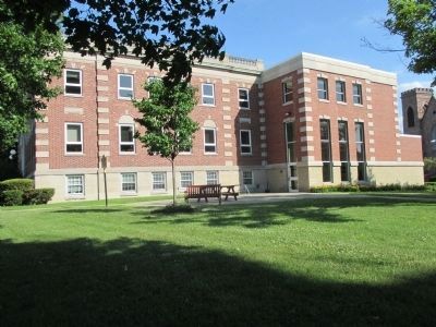
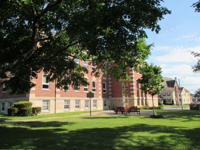
Southward View Genesee County Marker and Building image. Click for full size.
Photographed By Anton Schwarzmueller, July 6, 2014
2. Southward View Genesee County Marker and Building
From Main Street, the County Building west side is left. The Old Courthouse is to the right, outside of the picture.
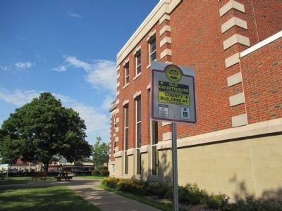
Eastward View Genesee County Marker and Building image. Click for full size.
Photographed By Anton Schwarzmueller, July 6, 2014
3. Eastward View Genesee County Marker and Building
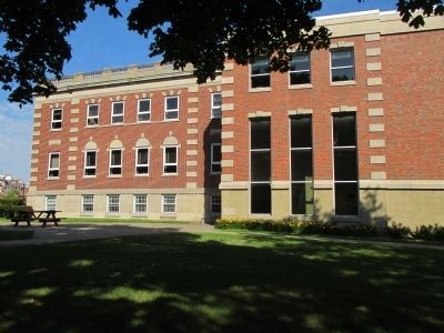
Northward View Genesee County Marker and Building image. Click for full size.
Photographed By Anton Schwarzmueller, July 6, 2014
4. Northward View Genesee County Marker and Building
From Ellicott Street (NY 63).
West Side Genesee County Building image. Click for full size.
Photographed By Anton Schwarzmueller, July 6, 2014
5. West Side Genesee County Building
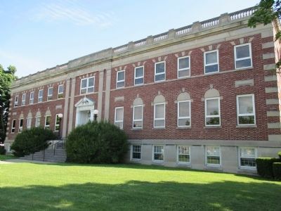
Front of Genesee County Building image. Click for full size.
Photographed By Anton Schwarzmueller, July 6, 2014
6. Front of Genesee County Building
On Main Street
 
 
Credits. This page was last revised on June 16, 2016. It was originally submitted on January 10, 2011, by Patrick Weissend of Corfu, New Yok. This page has been viewed 512 times since then and 12 times this year. Photos:   1. submitted on January 10, 2011, by Patrick Weissend of Corfu, New Yok.   2, 3, 4, 5, 6. submitted on July 6, 2014, by Anton Schwarzmueller of Wilson, New York. • Syd Whittle was the editor who published this page.
Share this page.  
Share on Tumblr
m=39636

CeraNet Cloud Computing sponsors the Historical Marker Database.
This website earns income from purchases you make after using our links to Amazon.com. We appreciate your support.
Paid Advertisement
Apr. 24, 2024