Burlington in Carroll County, Indiana — The American Midwest (Great Lakes)
Burlington
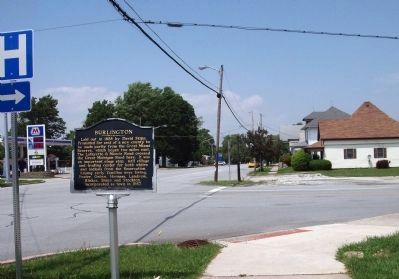
Inscription.
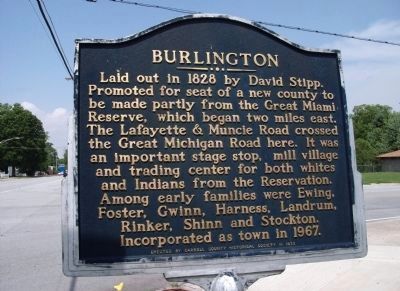
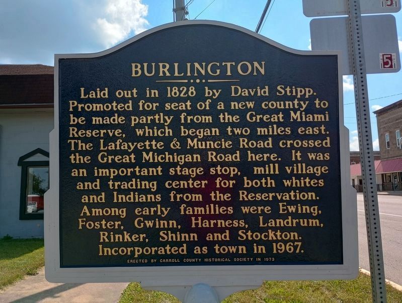
Laid out in 1828 by David Stipp. Promoted for seat of a new county to be made partly from the Great Miami Reserve, which began two mile east. The Lafayette & Muncie Road crossed the Great Michigan Road here. It was an important stage stop, mill village and trading center for both whites and Indians from the Reservation. Among early families were Ewing, Foster, Gwinn, Harness, Landrum, Rinker, Shinn and Stockton. Incorporated as town in 1967.
Erected 1973 by Carroll County Historical Society.
Topics. This historical marker is listed in these topic lists: Native Americans • Roads & Vehicles • Settlements & Settlers. A significant historical year for this entry is 1828.
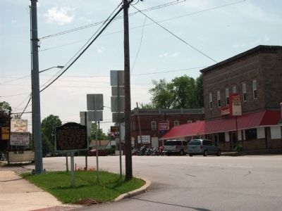
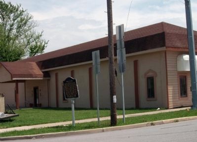
Location. 40° 28.804′ N, 86° 23.689′ W. Marker is in Burlington, Indiana, in Carroll County. Marker is at the intersection of Michigan Street (a.k.a.: St Rd 29) and East 7th Street, on the right when traveling north on Michigan Street (a.k.a.: St Rd 29). Touch for map. Marker is in this post office area: Burlington IN 46915, United States of America. Touch for directions.
Other nearby markers. At least 8 other markers are within 9 miles of this marker, measured as the crow flies. Burlington High School Polar Cubs/ Burlington, Indiana Schools (approx. ¼ mile away); Duty Honor Country (approx. ¼ mile away); Adams Mill (approx. 6 miles away); Wild Cat Lodge No. 311 (approx. 6 miles away); Cutler School (approx. 6.9 miles away); Deputy Carl Koontz (approx. 7.8 miles away); Flora War Memorials (approx. 7.9 miles away); Flora (approx. 8.2 miles away). Touch for a list and map of all markers in Burlington.
Credits. This page was last revised on September 16, 2023. It was originally submitted on May 26, 2011, by Al Wolf of Veedersburg, Indiana. This page has been viewed 811 times since then and 15 times this year. Photos: 1, 2. submitted on May 26, 2011, by Al Wolf of Veedersburg, Indiana. 3. submitted on September 7, 2023, by Craig Doda of Napoleon, Ohio. 4, 5, 6. submitted on May 26, 2011, by Al Wolf of Veedersburg, Indiana. • Syd Whittle was the editor who published this page.
