Near Clarkesville in Habersham County, Georgia — The American South (South Atlantic)
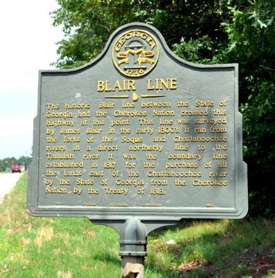
Blair Line
Erected 1953. (Marker Number 068-1.)
Topics and series. This historical marker is listed in these topic lists: Landmarks • Native Americans • Roads & Vehicles. In addition, it is included in the Georgia Historical Society series list. A significant historical year for this entry is 1817.
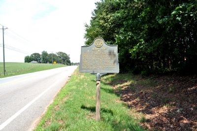
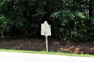
Location. 34° 34.847′ N, 83° 36.985′ W. Marker is near Clarkesville, Georgia, in Habersham County. Marker is on Clarkesville Highway (Georgia Route 115) 0.1 miles west of Cannon Bridge Road (Georgia Route 105), on the right when traveling east. Touch for map. Marker is in this post office area: Clarkesville GA 30523, United States of America. Touch for directions.
Other nearby markers. At least 8 other markers are within 6 miles of this marker, measured as the crow flies. Habersham Iron Works & Mfg. Co. (approx. 3.2 miles away); John Robert Mize (approx. 4.2 miles away); Piedmont College (approx. 4.2 miles away); Home of Johnny Mize (approx. 4.2 miles away); Habersham County (approx. 5.6 miles away); Clarkesville War Memorial (approx. 5.6 miles away); De Soto (approx. 5.6 miles away); Toombs-Bleckley House (approx. 5.8 miles away). Touch for a list and map of all markers in Clarkesville.
Additional keywords. Trails
Credits. This page was last revised on June 16, 2016. It was originally submitted on June 23, 2011, by David Seibert of Sandy Springs, Georgia. This page has been viewed 1,148 times since then and 38 times this year. Photos: 1, 2, 3. submitted on June 23, 2011, by David Seibert of Sandy Springs, Georgia. • Bill Pfingsten was the editor who published this page.


