Marker Logo HMdb.org THE HISTORICAL
MARKER DATABASE
“Bite-Size Bits of Local, National, and Global History”
Near La Joya in Socorro County, New Mexico — The American Mountains (Southwest)
 

Acomilla


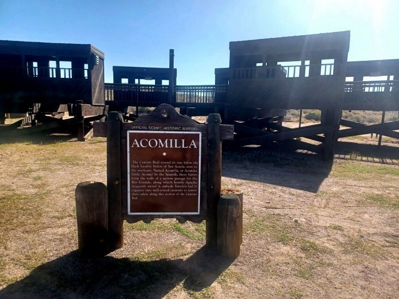
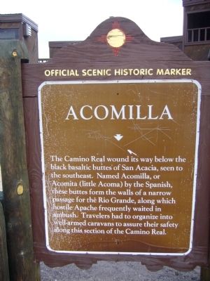
Acomilla Marker image. Click for full size.
Photographed By Bill Kirchner, July 21, 2011
1. Acomilla Marker
Inscription. The Camino Real wound its way below the black basaltic buttes of San Acacia, seen to the southeast. Named Acomilla, or Acomita (little Acoma) by the Spanish, these buttes form the walls of a narrow passage for the Rio Grande, along which hostile Apache frequently waited in ambush. Travelers had to organize into well-armed caravans to assure their safety along this section of the Camino Real
 
Erected by New Mexico Historic Preservation Division.
 
Topics and series. This historical marker is listed in this topic list: Exploration. In addition, it is included in the El Camino Real de Tierra Adentro series list.
 
Location. 34° 18.184′ N, 106° 53.379′ W. Marker is near La Joya, New Mexico, in Socorro County. Marker is on Interstate 25 at milepost 166.4, on the right when traveling north. Marker is in the northbound rest area. Touch for map. Marker is in this post office area: La Joya NM 87028, United States of America. Touch for directions.
 
Other nearby markers. At least 6 other markers are within 14 miles of this marker, measured as the crow flies. Rio Salado Sand Dunes (within shouting distance of this marker); a different marker also named Rio Salado Sand Dunes (approx. 0.2 miles away); Doña Eufemia (approx. 0.2 miles away); La Joya de Sevilleta
Paid Advertisement
Click on the ad for more information.
Please report objectionable advertising to the Editor.
Click or scan to see
this page online
(approx. 3.9 miles away); Sabino y Lemitar (approx. 10.1 miles away); Las Nutrias (approx. 13.1 miles away).
 
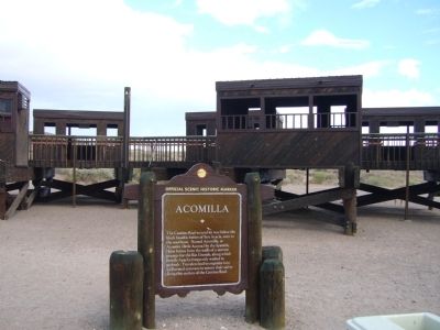
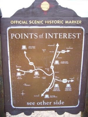
Acomilla Marker Reverse image. Click for full size.
Photographed By Bill Kirchner, July 21, 2011
2. Acomilla Marker Reverse
Acomilla Marker image. Click for full size.
Photographed By Flexible Fotography, October 12, 2023
3. Acomilla Marker
Acomilla Marker image. Click for full size.
Photographed By Bill Kirchner, July 21, 2011
4. Acomilla Marker
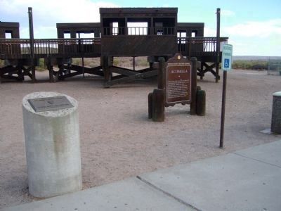
Acomilla Marker and El Camino Real New Mexico-Historic Civil Works Marker image. Click for full size.
Photographed By Bill Kirchner
5. Acomilla Marker and El Camino Real New Mexico-Historic Civil Works Marker
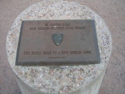
El Camino Real image. Click for full size.
Photographed By Bill Kirchner
6. El Camino Real
New Mexico - Historic Civil Works
The Royal Road to a New World - 1598
Dedicated 1993
 
 
Credits. This page was last revised on January 6, 2024. It was originally submitted on July 29, 2011, by Bill Kirchner of Tucson, Arizona. This page has been viewed 904 times since then and 43 times this year. Photos:   1, 2. submitted on July 29, 2011, by Bill Kirchner of Tucson, Arizona.   3. submitted on January 5, 2024, by Flexible Fotography of San Diego, California.   4, 5, 6. submitted on July 29, 2011, by Bill Kirchner of Tucson, Arizona. • Syd Whittle was the editor who published this page.
Share this page.  
Share on Tumblr
m=45215

CeraNet Cloud Computing sponsors the Historical Marker Database.
This website earns income from purchases you make after using our links to Amazon.com. We appreciate your support.
Paid Advertisement
Apr. 18, 2024