Louisville in Winston County, Mississippi — The American South (East South Central)
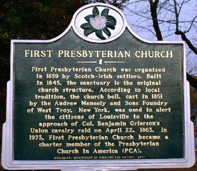
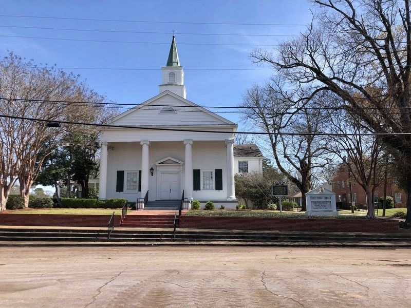
First Presbyterian Church
Erected 2007 by Mississippi Department of Archives and History.
Topics and series. This historical marker is listed in these topic lists: Churches & Religion • War, US Civil. In addition, it is included in the Mississippi State Historical Marker Program series list. A significant historical month for this entry is April 1930.
Location. 33° 7.353′ N, 89° 3.186′ W. Marker is in Louisville, Mississippi, in Winston County. Marker is at the intersection of South Columbus Avenue and East Park Street, on the left when traveling south on South Columbus Avenue. Touch for map. Marker is at or near this postal address: 844 South Columbus Avenue, Louisville MS 39339, United States of America. Touch for directions.
Other nearby markers. At least 8 other markers are within 9 miles of this marker, measured as the crow flies. Winston County Soldiers Monument (about 400 feet away, measured in a direct line); Winston County War Memorial (about 400 feet away); Grierson's Raid (approx. 0.2 miles away); Carl Jackson (approx. 0.2 miles away); Community House (approx. 0.2 miles away); “Big Iron” and Camp Palila (approx. 2.1 miles away); Legion Lodge (approx. 2.4 miles away); Bethsalem Presbyterian Church (approx. 8.9 miles away). Touch for a list and map of all markers in Louisville.
Credits. This page was last revised on April 7, 2024. It was originally submitted on December 10, 2011, by Jeff Lovorn of Florence, Mississippi. This page has been viewed 703 times since then and 22 times this year. Photos: 1. submitted on December 10, 2011, by Jeff Lovorn of Florence, Mississippi. 2. submitted on April 7, 2024, by Duane and Tracy Marsteller of Murfreesboro, Tennessee. • Craig Swain was the editor who published this page.

