Summit Township near Meyersdale in Somerset County, Pennsylvania — The American Northeast (Mid-Atlantic)
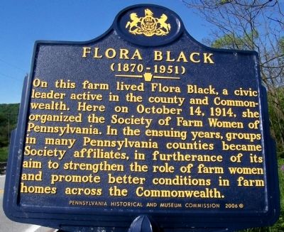
Flora Black
(1870 - 1951)
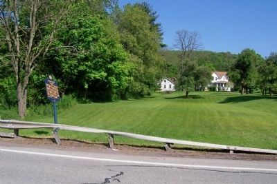
On this farm lived Flora Black, a civic leader active in the county and Commonwealth. Here on October 14, 1914, she organized the Society of Farm Women of Pennsylvania. In the ensuing years, groups in many Pennsylvania counties became Society affiliates, in furtherance of its aim to strengthen the role of farm women and promote better conditions in farm homes across the Commonwealth.
Erected 1989 by Pennsylvania Historical and Museum Commission.
Topics and series. This historical marker is listed in these topic lists: Agriculture • Women. In addition, it is included in the Pennsylvania Historical and Museum Commission series list. A significant historical month for this entry is October 1847.
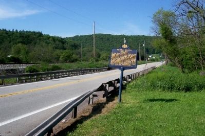
Location. 39° 51′ N, 79° 3.174′ W. Marker is near Meyersdale, Pennsylvania, in Somerset County. It is in Summit Township. Marker is on Mason Dixon Highway (U.S. 219) 0.1 miles south of Pine Hill Road (Pennsylvania Route 2027), on the left when traveling south. Touch for map. Marker is at or near this postal address: 3401 Mason Dixon Hwy, Meyersdale PA 15552, United States of America. Touch for directions.
Other nearby markers. At least 8 other markers are within 3 miles of this marker, measured as the crow flies. Heckle Bridge (approx. one mile away); Salisbury Viaduct (approx. 1.4 miles away); Veterans Memorial (approx. 2.7 miles away); Korean War/Vietnam Memorial (approx. 2.8 miles away); Defenders of Freedom and Justice Memorial (approx. 2.8 miles away); Meyersdale (approx. 2.8 miles away); a different marker also named Meyersdale (approx. 2.8 miles away); What's the Use of a Caboose (approx. 2.9 miles away). Touch for a list and map of all markers in Meyersdale.
Credits. This page was last revised on February 7, 2023. It was originally submitted on December 13, 2011, by Forest McDermott of Masontown, Pennsylvania. This page has been viewed 731 times since then and 21 times this year. Photos: 1, 2, 3. submitted on December 13, 2011, by Forest McDermott of Masontown, Pennsylvania. • Bill Pfingsten was the editor who published this page.


