El Monte in Los Angeles County, California — The American West (Pacific Coastal)
El Monte
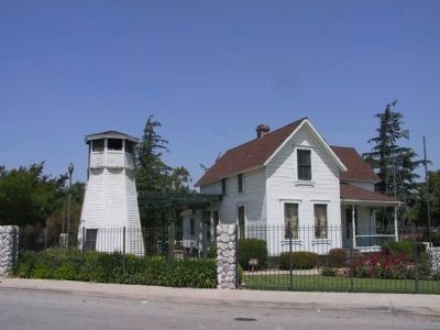
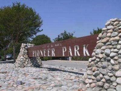
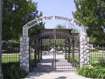
Santa Fe Trail Historical Park
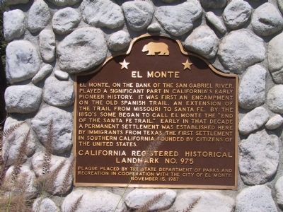
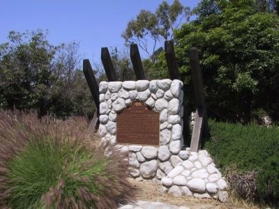
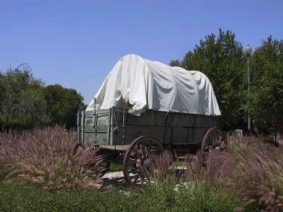
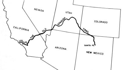
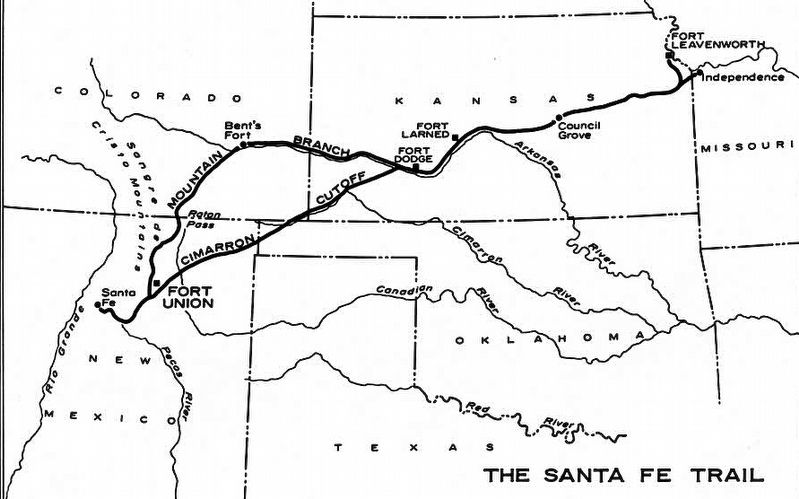
El Monte, on the bank of the San Gabriel River, played a significant part in California's early pioneer history. It was first an encampment on the Old Spanish Trail, an extension of the trail from Missouri to Santa Fe. By the 1850's some began to call El Monte the "End of the Santa Fe Trail." Early in that decade a permanent settlement was esablished here by immigrants from Texas. The first settlement in Southern California founded by citizens of the United States.
California Registered Historical Landmark No. 975.
Erected 1987 by State Department of Parks and Recreation, and City of El Monte. (Marker Number 975.)
Topics and series. This historical marker is listed in these topic lists: Notable Places • Roads & Vehicles • Settlements & Settlers. In addition, it is included in the California Historical Landmarks, and the Old Spanish National Trail series lists.
Location. 34° 4.478′ N, 118° 2.522′ W. Marker is in El Monte, California, in Los Angeles County. Marker can be reached from Santa Anita Avenue south of Valley Boulevard, on the right when traveling south. The marker was located at the former Santa Fe Trail Historical Park. Touch for map. Marker is at or near this postal address: 3675 Santa Anita Ave, El Monte CA 91731, United States of America. Touch for directions.
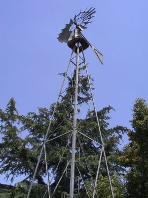
Other nearby markers. At least 8 other markers are within 2 miles of this marker, measured as the crow flies. The Frederick G. Exner Memorial Windmill (within shouting distance of this marker); a different marker also named El Monte (approx. 0.7 miles away); Lady Liberty (approx. 0.7 miles away); The Lion (approx. 0.8 miles away); Gay’s Lion Farm (approx. 0.9 miles away); Dinsmoor Heritage House (approx. one mile away); John Tibbett (approx. 1˝ miles away); Japanese Markers (approx. 1˝ miles away). Touch for a list and map of all markers in El Monte.
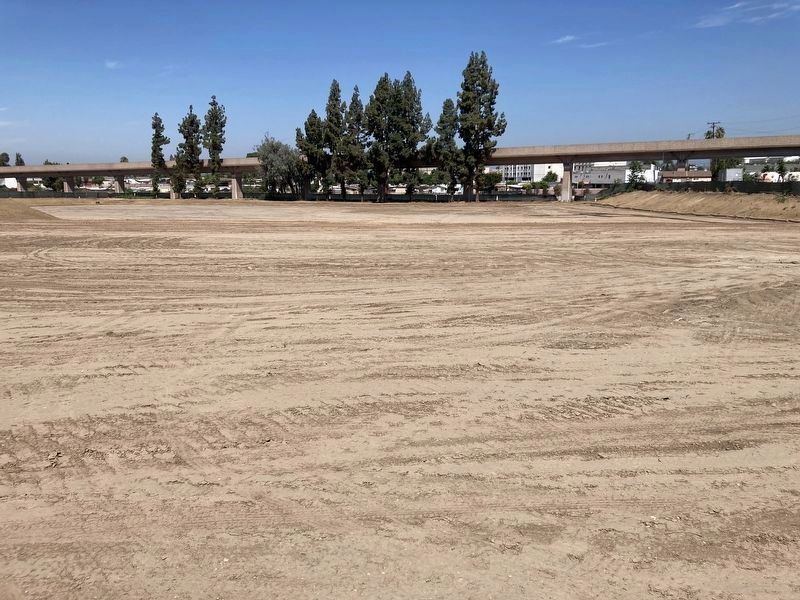
More about this marker. The park area has been demolished to make way for a new housing development and smaller historical park (as of 2023). The plaque is now in storage at the local historical society museum.
Regarding El Monte.
The City of El Monte promotes itself as the “End of the Santa Fe Trail” only because the original settlers traveled west on that trail to Santa Fe before continuing on to California. The Santa Fe Trail did not extend to California.
Also see . . . El Monte Historical Society. (Submitted on July 17, 2023.)
Photographed By Michael Kindig, April 21, 2005
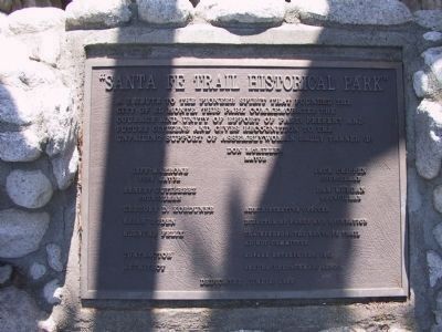
3. Santa Fe Trail Hisorical Park
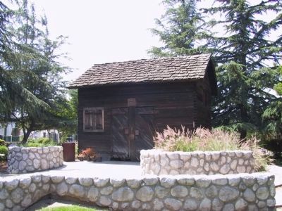
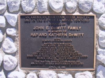
A tribute to the pioneer spirit that founded the City of El Monte. This park commemorates the courage and unity of effort of past, present and future citizens and gives recognition to the unfailing support of Assemblywoman Sally Tanner.
Dedicated June 2, 1989.
Credits. This page was last revised on July 17, 2023. It was originally submitted on December 27, 2011, by Michael Kindig of Elk Grove, California. This page has been viewed 2,221 times since then and 92 times this year. Last updated on December 16, 2020, by Craig Baker of Sylmar, California. Photos: 1, 2, 3, 4, 5, 6, 7, 8, 9, 10, 11, 12, 13. submitted on December 28, 2011, by Michael Kindig of Elk Grove, California. 14. submitted on July 17, 2023, by Craig Baker of Sylmar, California. 15. submitted on January 3, 2012. 16. submitted on July 13, 2023, by Craig Baker of Sylmar, California. • J. Makali Bruton was the editor who published this page.
