Near Claremont in Catawba County, North Carolina — The American South (South Atlantic)
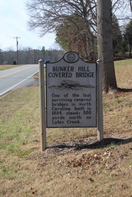
Bunker Hill Covered Bridge
Erected 1988 by Archives and Highway Departments.
Topics and series. This historical marker is listed in this topic list: Bridges & Viaducts. In addition, it is included in the Covered Bridges, and the North Carolina Division of Archives and History series lists. A significant historical year for this entry is 1894.
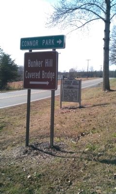
Location. 35° 43.125′ N, 81° 7.039′ W. Marker is near Claremont, North Carolina, in Catawba County. Marker is on U.S. 70. Touch for map. Marker is in this post office area: Claremont NC 28610, United States of America. Touch for directions.
Other nearby markers. At least 8 other markers are within 5 miles of this marker, measured as the crow flies. Covered Bridges (approx. 0.2 miles away); a different marker also named Bunker Hill Covered Bridge (approx. 0.2 miles away); Herman Haupt (approx. 0.2 miles away); Catawba POW/MIA Monument (approx. 2.4 miles away); Catawba High School World War I Memorial (approx. 2.4 miles away); Town of Catawba Veterans Garden of Honor (approx. 2.4 miles away); Town of Catawba (approx. 2.4 miles away); St. John's Church (approx. 4.4 miles away). Touch for a list and map of all markers in Claremont.
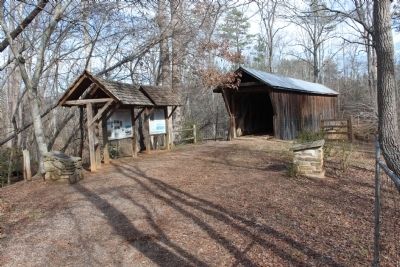
Regarding Bunker Hill Covered Bridge. The bridge itself is not accessible by car. It is reached by a short (less than 1/4 mile) hike.
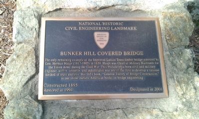
Additional keywords. engineering, engineer, Herman Haupt, Lattice Truss
Credits. This page was last revised on June 16, 2016. It was originally submitted on December 29, 2011, by Jamie Cox of Melbourne, Florida. This page has been viewed 737 times since then and 13 times this year. Last updated on December 31, 2011, by Jamie Cox of Melbourne, Florida. Photos: 1, 2, 3, 4. submitted on December 29, 2011, by Jamie Cox of Melbourne, Florida. • Craig Swain was the editor who published this page.


