Ingalls in Payne County, Oklahoma — The American South (West South Central)
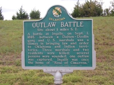
Outlaw Battle
Site about 1 miles S.E.
Erected 1956 by Oklahoma Historical Society and State Highway Commission.
Topics and series. This historical marker is listed in this topic list: Notable Events. In addition, it is included in the Oklahoma Historical Society series list. A significant historical date for this entry is September 1, 1911.
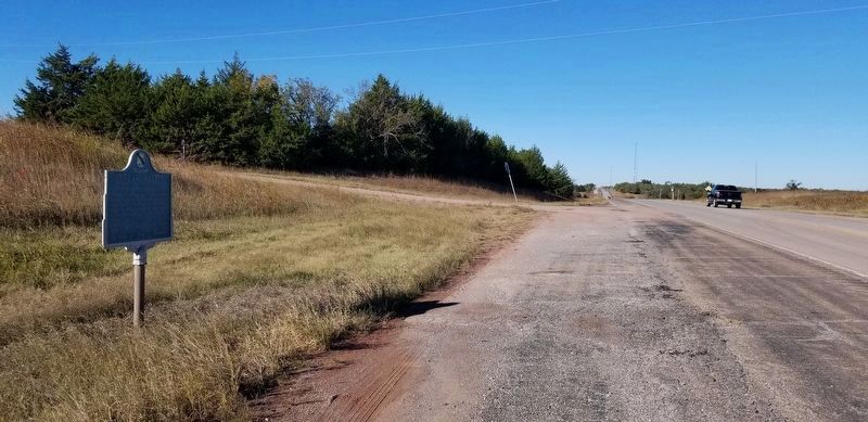
Location. 36° 6.981′ N, 96° 53.39′ W. Marker is in Ingalls, Oklahoma, in Payne County. Marker is at the intersection of East 6th Avenue (State Highway 51) and South Bethel Road (County Route N34330), on the right when traveling east on East 6th Avenue. Touch for map. Marker is in this post office area: Stillwater OK 74074, United States of America. Touch for directions.
Other nearby markers. At least 8 other markers are within 12 miles of this marker, measured as the crow flies. The Battle of Ingalls (approx. 1.2 miles away); U.S. Marshals Monument (approx. 1.2 miles away); Battle of Round Mountains (approx. 6˝ miles away); L.F. Jones (approx. 10.7 miles away); Mable Dale Potts (approx. 10.7 miles away); Nell Caroline Woodward Hancock (approx. 10.7 miles away); Rice/Kerby Cabin (approx. 11.1 miles away); Harold V. "Tex" Brown (approx. 11.3 miles away). Touch for a list and map of all markers in Ingalls.
Also see . . . History - Deputies versus the Wild Bunch. U.S. Marshals Service (Submitted on February 15, 2012, by Bernard Fisher of Richmond, Virginia.)
Credits. This page was last revised on October 31, 2021. It was originally submitted on February 14, 2012, by Michael Manning of Woodlawn, Tennessee. This page has been viewed 1,182 times since then and 48 times this year. Photos: 1. submitted on February 14, 2012, by Michael Manning of Woodlawn, Tennessee. 2. submitted on October 31, 2021, by James Hulse of Medina, Texas. 3. submitted on February 14, 2012, by Michael Manning of Woodlawn, Tennessee. • Bernard Fisher was the editor who published this page.


