CSUS in Sacramento in Sacramento County, California — The American West (Pacific Coastal)
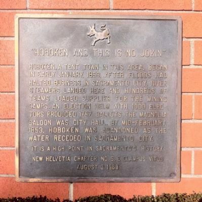
"Hoboken and This is No Jokin"
It is a high point in Sacramento History
Erected 1968 by New Helvetia Chapter No. 5, E Clampus Vitus.
Topics and series. This historical marker is listed in this topic list: Settlements & Settlers. In addition, it is included in the E Clampus Vitus series list. A significant historical year for this entry is 1853.
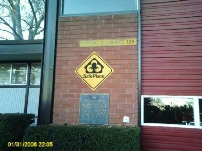
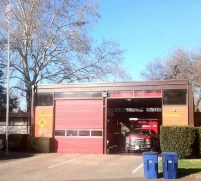
Location. 38° 34.063′ N, 121° 25.669′ W. Marker is in Sacramento, California, in Sacramento County. It is in CSUS. Marker is on H Street just east of Carlson Drive, on the left when traveling east. Marker is mounted on Firehouse #8 to the left of the driveway. Touch for map. Marker is at or near this postal address: 5990 H Street, Sacramento CA 95819, United States of America. Touch for directions.
Other nearby markers. At least 8 other markers are within 2 miles of this marker, measured as the crow flies. Five Mile Station (approx. half a mile away); The Guy West Bridge (approx. half a mile away); September 11, 2001 (approx. 1.3 miles away); Joseph H. McKinney (approx. 1.4 miles away); You Are Remembered – Rest In Peace (approx. 1.4 miles away); Re-Internment Site For New Helvetia Cemetery (approx. 1.4 miles away); Dr. Benjamin F. Pendery (approx. 1.4 miles away); Daniel Blue (approx. 1.4 miles away). Touch for a list and map of all markers in Sacramento.
Regarding "Hoboken and This is No Jokin". During floods people also camped on the elevated land that is now part of the Old Sacramento City Cemetery.
Credits. This page was last revised on February 7, 2023. It was originally submitted on February 17, 2012, by S B of Sacramento, California. This page has been viewed 1,009 times since then and 39 times this year. Photos: 1. submitted on February 19, 2012. 2. submitted on February 17, 2012, by S B of Sacramento, California. 3. submitted on February 19, 2012. • Syd Whittle was the editor who published this page.


