Near Aspendell in Inyo County, California — The American West (Pacific Coastal)
Power for the Diggins
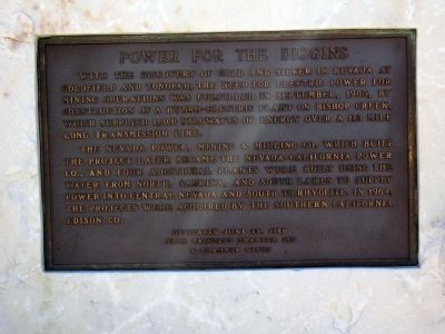
With the discovery of gold and silver in Nevada at Goldfield and Tonopah, the need for electric power for mining operations was fulfilled in September, 1905, by construction of a hydro-electric plant on Bishop Creek, which supplied 1,300 kilowatts of energy over a 113 mile long transmission line.
The Nevada Power, Mining & Milling Co. which built the project later became the Nevada-California Power Co., and four additional plants were built using the water from North, Sabrina, and South Lakes to supply power into Central Nevada and South to Rhyolite. In 1964, the projects were acquired by the Southern California Edison Co.
Dedicated June 25, 1988
Slim Princess Chapter 395
E Clampus Vitus
Erected 1988 by Slim Princess Chapter 395, E Clampus Vitus.
Topics and series. This historical marker is listed in these topic lists: Charity & Public Work • Industry & Commerce • Settlements & Settlers. In addition, it is included in the E Clampus Vitus series list. A significant historical date for this entry is June 25, 1873.
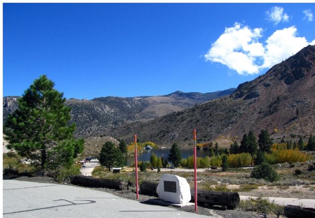
Location. 37° 14.884′ N, 118° 35.328′ W. Marker is near Aspendell, California, in Inyo County. Marker is on California Route 168 north of Reservoir Road and Cataract Road, on the right when traveling east. Touch for map. Marker is in this post office area: Bishop CA 93514, United States of America. Touch for directions.
Other nearby markers. At least 5 other markers are within 14 miles of this marker, measured as the crow flies. Buttermilk Road (approx. 7.2 miles away); Bishop Creek Battleground (approx. 8.8 miles away); San Francis Ranch (approx. 10.8 miles away); Lynching of the Convicts (approx. 11˝ miles away); The Old Inyo County Jailhouse (approx. 13.1 miles away).
Credits. This page was last revised on August 17, 2020. It was originally submitted on October 17, 2006, by Karen Key of Sacramento, California. This page has been viewed 2,756 times since then and 14 times this year. Photos: 1, 2. submitted on October 17, 2006, by Karen Key of Sacramento, California. • J. J. Prats was the editor who published this page.

