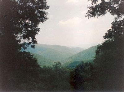
McDowell in Highland County, Virginia — The American South (Mid-Atlantic)
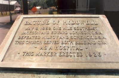
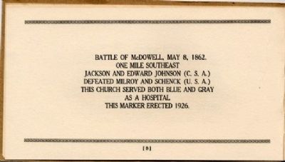
Battle of McDowell
Erected 1926 by United Daughters of The Confederacy.
Topics and series. This historical marker is listed in these topic lists: Churches & Religion • War, US Civil. In addition, it is included in the Battlefield Markers Association, the Battlefield Trails - Civil War, and the United Daughters of the Confederacy series lists. A significant historical date for this entry is May 8, 1882.
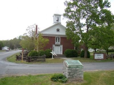
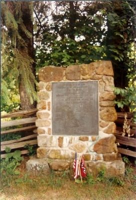
Location. 38° 19.912′ N, 79° 29.306′ W. Marker is in McDowell, Virginia, in Highland County. Marker is at the intersection of Highland Turnpike (U.S. 250) and Bullpasture River Road (Virginia Route 678), on the left when traveling west on Highland Turnpike. Marker is on a grass covered traffic island at the intersection in front of the Presbyterian Church. Touch for map. Marker is at or near this postal address: 9090 Highland Turnpike, Mc Dowell VA 24458, United States of America. Touch for directions.
Other nearby markers. At least 8 other markers are within walking distance of this marker. McDowell VA - May 8, 1862 (within shouting distance of this marker); McDowell Presbyterian Church (within shouting distance of this marker); The Church and Cemetery (within shouting distance of this marker); The Guns of Cemetery Hill (approx. 0.2 miles away); Felix Hull House (approx. ¼ mile away); a different marker also named Battle of McDowell (approx. ¼ mile away); Highway To War (approx. ¼ mile away); Hometown Foes (approx. 0.4 miles away). Touch for a list and map of all markers in McDowell.
Related markers. Click here for a list of markers that are related to this marker. The Battle of McDowell, May 8, 1862 , virtual Tour by Markers.
Also see . . . Battle of McDowell. National Park Service summary of the battle. (Submitted on December 18, 2007, by Craig Swain of Leesburg, Virginia.)
Credits. This page was last revised on November 7, 2023. It was originally submitted on December 17, 2007, by Mike Stroud of Bluffton, South Carolina. This page has been viewed 2,227 times since then and 31 times this year. Last updated on January 30, 2013, by David Graff of Halifax, Nova Scotia. Photos: 1. submitted on December 17, 2007, by Mike Stroud of Bluffton, South Carolina. 2. submitted on May 5, 2010, by J. J. Prats of Powell, Ohio. 3. submitted on December 9, 2008, by Bernard Fisher of Richmond, Virginia. 4, 5. submitted on December 17, 2007, by Mike Stroud of Bluffton, South Carolina. • Bill Pfingsten was the editor who published this page.
