Near De Motte in Jasper County, Indiana — The American Midwest (Great Lakes)
La Salle Expedition
Inscription.
In December, 1679, Robert Cavalier, Sieur de La Salle, with thirty men crossed northwestern Indiana by way of the Kankakee River in an attempt to find a water route to the Pacific Ocean.
Erected 1966 by Indiana Sesquicentennial Commission. (Marker Number 37.1966.1.)
Topics and series. This historical marker is listed in this topic list: Exploration. In addition, it is included in the Indiana Historical Bureau Markers series list. A significant historical month for this entry is December 1679.
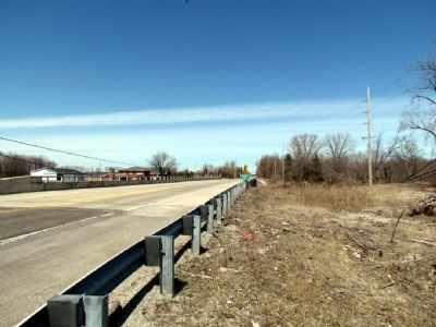
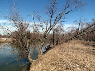
Location. Marker has been reported missing. It was located near 41° 15.539′ N, 87° 11.929′ W. Marker was near De Motte, Indiana, in Jasper County. Marker could be reached from the intersection of U.S. 231 and County Road 1700N. The marker was located on the south side of the bridge over the Kankakee River at the Jasper County line. Touch for map. Marker was in this post office area: Hebron IN 46341, United States of America. Touch for directions.
Other nearby markers. At least 8 other markers are within 14 miles of this location, measured as the crow flies. Site of Huakiki (approx. 2.4 miles away); a different marker also named Site of Huakiki (approx. 7˝ miles away); Wheatfield High School (approx. 8.9 miles away); Site of Tassinong (approx. 10.9 miles away); Flight 4184 Memorial (approx. 12.7 miles away); Lake County Sheriff's House and Jail 1882 (approx. 13.8 miles away); Carnegie Center 1908 (approx. 13.9 miles away); The Old Lake County Courthouse, 1878 (approx. 13.9 miles away).
Credits. This page was last revised on June 16, 2016. It was originally submitted on April 5, 2013, by Duane Hall of Abilene, Texas. This page has been viewed 646 times since then and 6 times this year. Photos: 1, 2, 3. submitted on April 5, 2013, by Duane Hall of Abilene, Texas. • Bill Pfingsten was the editor who published this page.
Editor’s want-list for this marker. Photo of marker prior to it going missing. • Can you help?


