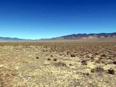
Near Austin in Churchill County, Nevada — The American Mountains (Southwest)
Edwards Creek Valley
Replacement Marker
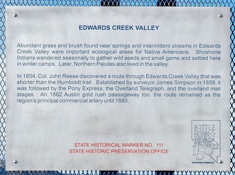
Abundant grass and brush found near springs and intermittent streams in Edwards Creek Valley were important ecological areas for Native Americans. Shoshone Indians wandered seasonally to gather wild seeds and small game and settled here in winter camps. Later, Northern Paiutes also lived in the valley.
In 1854, Colonel John Reese discovered a route through Edwards Creek Valley that was shorter than the Humboldt Trail. Established by surveyor James Simpson in 1859, it was followed by the Pony Express, the Overland Telegraph, and the Overland Mail stages. An 1862 Austin gold rush passageway too, the route remained as the region's principal commercial artery until 1880.
State Historical Marker No. 111
State Historic Preservation Office
Original Marker
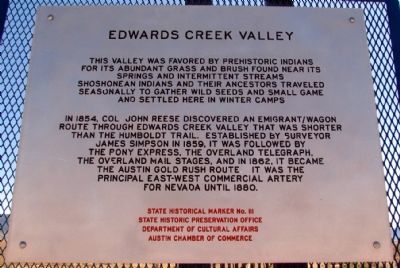
This valley was favored by prehistoric Indians for its abundant grass and brush found near its springs and intermittent streams. Shoshonean Indians and their ancestors traveled seasonally to gather wild seeds and small game and settled here in winter camps.
In 1854, Col. John Reese discovered an emigrant/wagon route through Edwards Creek Valley that was shorter than the Humboldt Trail. Established by surveyor James Simpson in 1859, it was followed by the Pony Express, the Overland Telegraph, the Overland Mail stages, and in 1862, it became the Austin Gold Rush route. It was the principal east-west commercial artery for Nevada until 1880.
Erected by State Historic Preservation Office, Department of Cultural Affairs, and Austin Chamber of Commerce. (Marker Number 111.)
Topics and series. This historical marker is listed in these topic lists: Native Americans • Roads & Vehicles. In addition, it is included in the Pony Express National Historic Trail series list. A significant historical year for this entry is 1854.
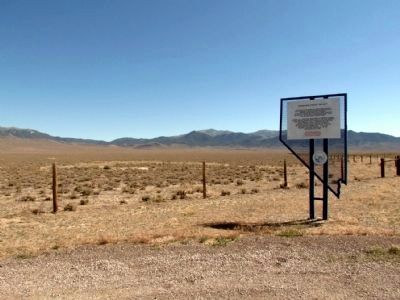
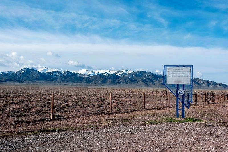
Location. 39° 31.813′ N, 117° 43.574′ W. Marker is near Austin, Nevada, in Churchill County. Marker is on U.S. 50, 23 miles north of Nevada Route 722, on the right when traveling north. Touch for map. Marker is in this post office area: Austin NV 89310, United States of America. Touch for directions.
Other nearby markers. At least 3 other markers are within 12 miles of this marker, measured as the crow flies. The Pony Express (approx. 11.7 miles away); Central Overland Trail - Cold Springs Station (approx. 11.7 miles away); Rock Creek (approx. 11.7 miles away).
Also see . . . New Amended Text for Marker. The Nevada State Historic Preservation Office (SHPO) recently updated the text of the roughly 260 state historical markers in Nevada. The Nevada SHPO placed the amended text of the markers on its website for each individual marker and will change the actual markers in the field as funding allows. Minor changes have been made to the marker for grammar, readability, and content. The link will take you to the Nevada SHPO page for the marker with the amended text. (Submitted on October 25, 2013, by Duane Hall of Abilene, Texas.)
Credits. This page was last revised on November 2, 2020. It was originally submitted on July 30, 2013, by Duane Hall of Abilene, Texas. This page has been viewed 760 times since then and 38 times this year. Photos: 1. submitted on October 29, 2020, by Alvis Hendley of San Francisco, California. 2, 3. submitted on July 30, 2013, by Duane Hall of Abilene, Texas. 4. submitted on October 29, 2020, by Alvis Hendley of San Francisco, California. 5. submitted on July 30, 2013, by Duane Hall of Abilene, Texas.
