Burrowsville in Prince George County, Virginia — The American South (Mid-Atlantic)
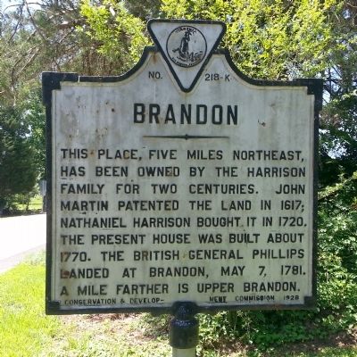
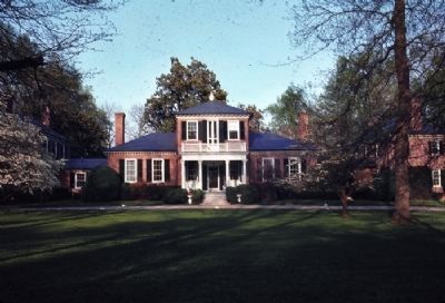
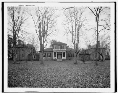
Brandon
Erected 1928 by Conservation & Development Commission. (Marker Number K-218.)
Topics and series. This historical marker is listed in these topic lists: Colonial Era • Settlements & Settlers • War, US Revolutionary. In addition, it is included in the Virginia Department of Historic Resources (DHR) series list. A significant historical date for this entry is May 7, 1940.
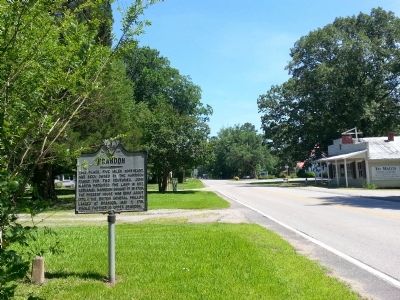
Location. 37° 12.786′ N, 77° 4.374′ W. Marker is in Burrowsville, Virginia, in Prince George County. Marker is at the intersection of James River Drive (Virginia Route 10) and Lebanon Road (Virginia Route 611), on the right when traveling west on James River Drive. Touch for map. Marker is in this post office area: Spring Grove VA 23881, United States of America. Touch for directions.
Other nearby markers. At least 8 other markers are within 7 miles of this marker, measured as the crow flies. Hood's (approx. 0.4 miles away); Cabin Point (approx. 3 miles away); Flowerdew Hundred (approx. 4.9 miles away); Powell's Creek (approx. 4.9 miles away); Claremont School (approx. 5.8 miles away); Claremont (approx. 5.8 miles away); Quioughcohanach Indians (approx. 6 miles away); The Cattle Raid (approx. 6.3 miles away).
Also see . . .
1. Lower Brandon Plantation. Wikipedia (Submitted on June 24, 2014.)
2. Brandon. National Register of Historic Places (Submitted on June 24, 2014.)
Credits. This page was last revised on November 11, 2021. It was originally submitted on June 24, 2014, by Bernard Fisher of Richmond, Virginia. This page has been viewed 850 times since then and 45 times this year. Photos: 1, 2, 3, 4. submitted on June 24, 2014, by Bernard Fisher of Richmond, Virginia.


