"A Beacon Standing for Peace"
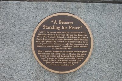
In 1931, the state set aside funds for a memorial to honor Massachusetts men and women who had died during the World War. Originally designed as a lighthouse for Boston's Charles River estuary, the tower's beacon was intended "to shine each night, perpetually, to honor the memory of fallen heroes and to guide aviators in their lone night-time journeys oer the treacherous mountain range." It stands as a timeless memorial to casualties of all wars.
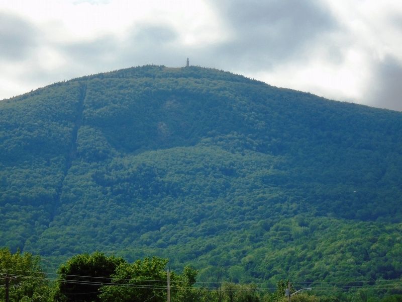
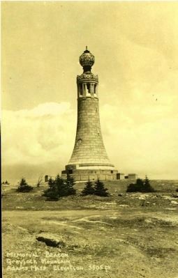
When it was built, the beacon was the most powerful light in Massachusetts, and could be seen for 70 miles. The granite tower is 92 feet tall, and the largest blocks weigh eight tons. The tower was formally dedicated by Governor Joseph B. Ely in 1933, before a crowd of 1,200 people, in what was called "the greatest event the mountain has had."
Topics. This historical marker is listed in these topic lists: Landmarks • War, World I. A significant historical year for this entry is 1931.
Location. 42° 38.233′ N, 73° 9.97′ W. Marker is in Adams, Massachusetts, in Berkshire County. Marker can be reached from Summit Road. Touch for map. Marker is in this post office area: Adams MA 01220, United States of America. Touch for directions.
Other nearby markers. At least 8 other markers are within walking distance of this marker. Mount Greylock, elevation 3,491 feet (here, next to this marker); Veterans War Memorial Tower (a few
Additional keywords. Mount Greylock
Credits. This page was last revised on June 16, 2016. It was originally submitted on July 9, 2011, by Courtney Michael of Medford, Massachusetts. This page has been viewed 1,085 times since then and 29 times this year. Last updated on October 14, 2014, by Kevin Craft of Bedford, Quebec. Photos: 1. submitted on July 9, 2011, by Courtney Michael of Medford, Massachusetts. 2. submitted on June 11, 2018, by William Fischer, Jr. of Scranton, Pennsylvania. 3. submitted on February 5, 2015. • Bill Pfingsten was the editor who published this page.


