East Wallingford in Belmont in Rutland County, Vermont — The American Northeast (New England)
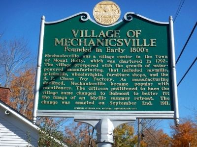
Village of Mechanicsville
Founded in Early 1800's
Mechanicsville was a village center in the Town of Mount Holly, which was chartered in 1792. The village prospered with the growth of water-powered manufacturing, that included sawmills, gristmills, wheelwrights, furniture shops, and the A.P. Chase Toy Factory. As manufacturing declined, Mechanicsville became popular with vacationers. The citizens petitioned to have the village name changed to Belmont to better fit the image of an idyllic summer retreat. The change was enacted on September 2nd, 1911.
Erected 2011 by Vermont Division for Historic Preservation.
Topics. This historical marker is listed in these topic lists: Industry & Commerce • Settlements & Settlers. A significant historical month for this entry is September 1803.
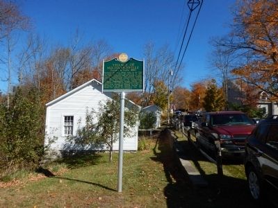
Location. 43° 24.865′ N, 72° 49.334′ W. Marker is in Belmont, Vermont, in Rutland County. It is in East Wallingford. Marker is on Tarbellville Road, 0.1 miles west of Belmont Road, on the right when traveling west. The marker is located adjacent to the Mount Holly Community Historical Museum. Touch for map. Marker is at or near this postal address: 54 Tarbellville Road, Belmont VT 05730, United States of America. Touch for directions.
Other nearby markers. At least 8 other markers are within 9 miles of this marker, measured as the crow flies. Mount Holly Railroad History (approx. 3.1 miles away); Civilian Conservation Corps West River Forest Camp (approx. 3.9 miles away); John Porter Bowman and Laurel Hall / Laurel Glen Mausoleum (approx. 5.7 miles away); Abby Maria Hemenway (approx. 6.4 miles away); Veteran’s Memorial (approx. 6˝ miles away); Revolutionary War Campground on the Crown Point Road (approx. 7.7 miles away); Vermont Gold Rush (approx. 7.7 miles away); Weston Village Historic District (approx. 8.6 miles away).
Credits. This page was last revised on February 16, 2023. It was originally submitted on October 20, 2014, by Kevin Craft of Bedford, Quebec. This page has been viewed 561 times since then and 34 times this year. Photos: 1, 2. submitted on October 20, 2014, by Kevin Craft of Bedford, Quebec. • Bill Pfingsten was the editor who published this page.

